
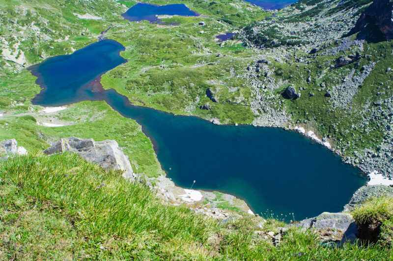
 Photo: Dido3 · CC BY-SA 3.0
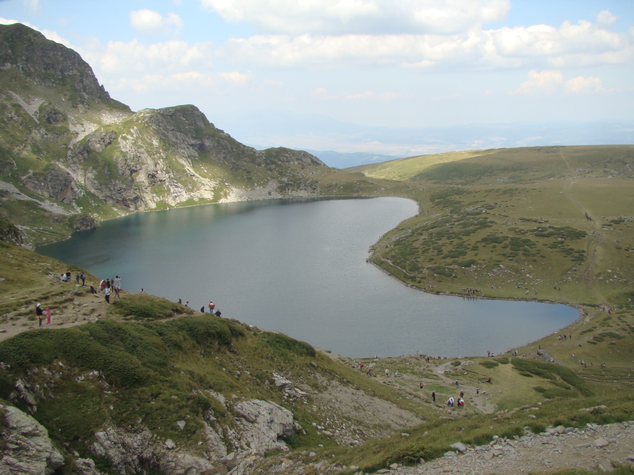
Photo: Лорд Бъмбъри · Public domain
The Kidney, the third of the Seven Rila Lakes, named for its shape, which drains into Bliznaka.
How it formed
At 2,282 m, Babreka covers about 8.5 ha and reaches about 28 m in depth, and it has the steepest shores of all the seven lakes. It drains separately into Bliznaka, below it.
Visit
Swimming
No reliable information
Tips
The usual start is Panichishte, above Sapareva Banya, about 1 hour 45 minutes by car from Sofia. The chairlift rises from about 1,570 m to about 2,100 m in 25 minutes, close to the Rila Lakes Hut (about 2,150 m). Check the time of the last ride down.
From the hut, the path crosses wide alpine meadows and climbs gently to Babreka in about 30–40 minutes, with some stone paving and wooden railings. Beyond the lake it turns steeper and rockier on the way up to Okoto and Salzata. It can be cool and windy up here, so bring an extra layer. See the Seven Rila Lakes page for more.
Nearby lakes
Show on mapPhoto: Dido3 · CC BY-SA 3.0
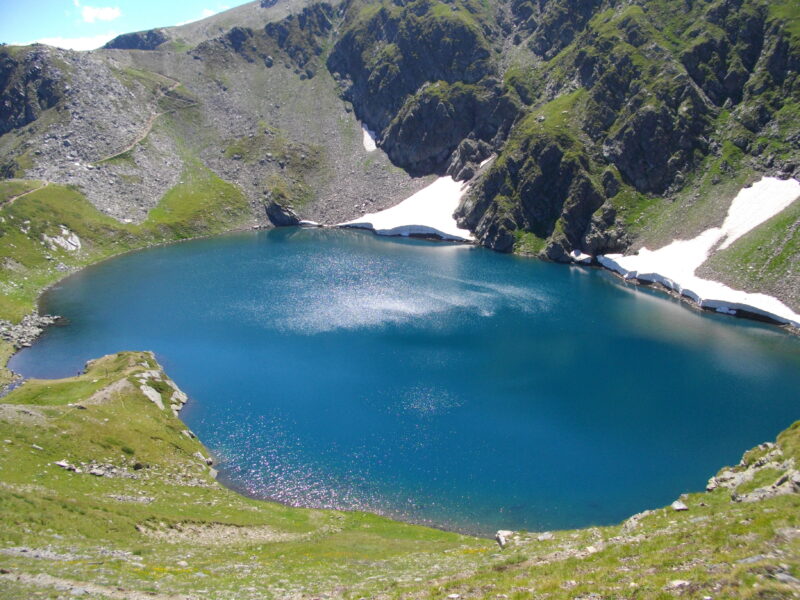 Photo: Glagoli · Public domain

Bulgaria · Rila · Southwestern Bulgaria
Okoto (Rila)
Glacial · natural
~0.7 kmaway
2,440 metreselevation
Know Babreka well?
Suggest a beach, viewpoint, trail or amenity, or tell us if something has changed. We read every message.
Sources & data
- Wikidata: The Kidney (Q12274059), Wikimedia Foundation
- OpenStreetMap: Бъбрека (way 439492159), OpenStreetMap contributors
- Bulgarian Wikipedia: Бъбрека, Wikimedia Foundation
- Bulgarian Wikipedia: Седемте рилски езера, Wikimedia Foundation
- Hiking to the Seven Rila Lakes: a complete guide (2025), Olympus Mountaineering