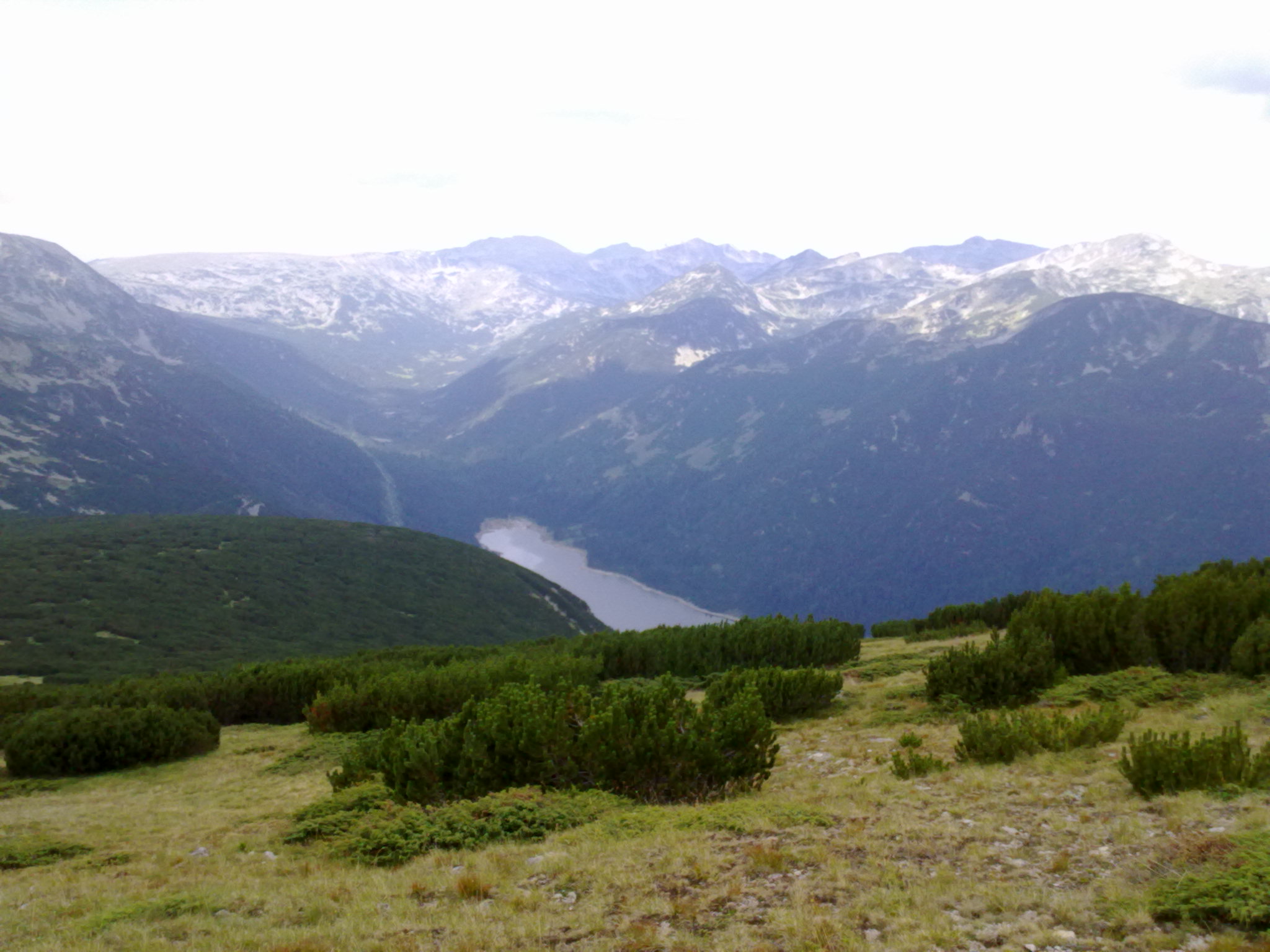
Photo: YjM · CC BY-SA 3.0
The Beli Iskar reservoir lies at about 1,880 m at the southern foot of Musala, on the upper Beli Iskar river, about 75 km from Sofia. It is one of the highest reservoirs in Europe, about 2.8 km long, and it provides about a fifth of Sofia’s drinking water.
How it formed
Built between 1935 and 1945, the concrete dam was the first massive structure of its kind in Bulgaria. It stands 50.7 m high and 522.5 m along the crest, on granite, faced with a 60 cm layer of granite to resist freeze and thaw. The lake fills mainly with snowmelt from April to July and with autumn rain, and streams from neighbouring valleys are diverted into it.
Visit
Swimming
No reliable information
Tips
This is a drinking-water reservoir, so ask about access before setting out. Lower in the valley, the Beli Iskar eco-trail follows the river through pine forest over a series of wooden bridges, an easy walk for families. Its trailhead, with a small hut and parking, is 15–20 minutes by car from Borovets, about 6 km from Beli Iskar village. Fires are banned along the trail.
Nearby lakes
Show on map


Know Beli Iskar Reservoir well?
Suggest a beach, viewpoint, trail or amenity, or tell us if something has changed. We read every message.
Sources & data
- Bulgaria's 2022 Water Framework Directive reporting to the EEA: lake (LW) and transitional (TW) water bodies, field cArea, European Environment Agency (WISE WFD), reported by Bulgaria, 2022
- OpenStreetMap: Яз. Бели Искър (way 439745139), OpenStreetMap contributors
- Bulgarian Wikipedia: Бели Искър (язовир), Wikimedia Foundation
- Hiking the Beli Iskar eco-trail (2025), Olympus Mountaineering