Ledenoto, the Icy Lake, lies at 2,709 m in the Musala cirque of eastern Rila, about 365 m north-east of Musala, the highest peak in the Balkans. It disputes the title of highest lake with Upper Polezhanski in Pirin, which maps put about 3 m lower. It is the top of seven lakes that step down the cirque to about 2,390 m, and it is the deepest of them, at 16.4 m.
How it formed
A glacial lake of about 1.8 ha, it stays cold, with its surface reaching only 7.8 °C in summer. It feeds the next lake underground, and the chain drains into the Musalenska Bistritsa, which runs down to Borovets.
Visit
Swimming
No reliable information
Tips
A lift from Borovets towards Yastrebets saves about 1,000 m of climbing; lift schedules change, so check the Borovets news first. From the top, it is about an hour to Musala Hut, then about 2 km and 400 m of climbing past the Musala lakes to the Everest ’84 hut on the north-west shore of Ledenoto, which sleeps about 30. On foot from Borovets, it is 5 to 7 hours to the summit, 12.6 km one way with about 1,590 m of climbing.
The summit is another 35 to 60 minutes up the ridge, on a path marked by poles, so the hut makes a good base for sunrise. Ask ahead about meals. June to October is the season, and snow can last into June. The weather changes quickly and summer storms are frequent, so you need sturdy boots and good fitness, and beginners should consider a guide. See the Rila Lakes page for more.
Nearby lakes
Show on map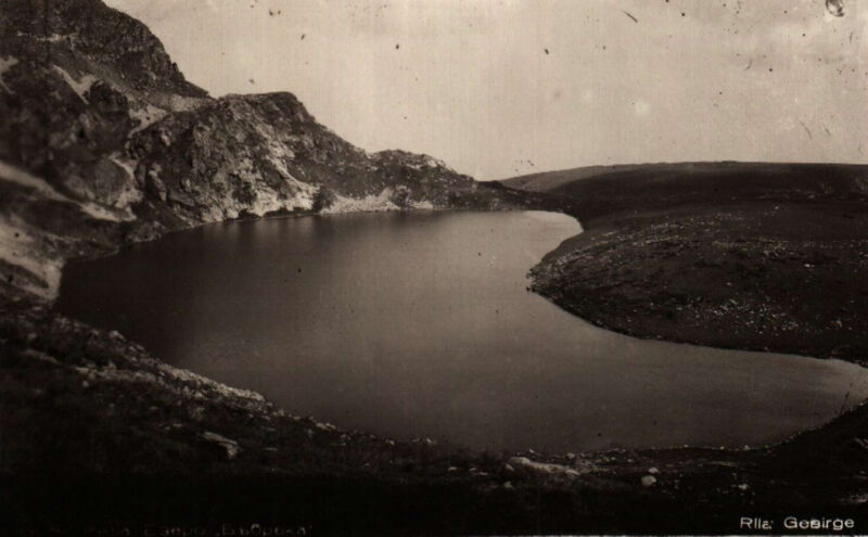

Know Ledenoto ezero well?
Suggest a beach, viewpoint, trail or amenity, or tell us if something has changed. We read every message.
Sources & data
- OpenStreetMap: Леденото езеро (way 439687479), OpenStreetMap contributors
- Lifts operating hours: the 7 Rila Lakes lift, BulGuides
- Bulgarian Wikipedia: Мусаленски езера, Wikimedia Foundation
- Musala, Bulgaria, The Best Viewpoints
- Bulgaria: route information, Virtual Mountains