This is one of the four Marichini lakes, glacial lakes set in steps in the Maritsa cirque of eastern Rila, between about 2,300 m and 2,510 m, ringed by the Blizantsi peaks, Marishki Chal and Mancho. Together they are the source of the Tiha Maritsa, the Quiet Maritsa, which joins the Prava Maritsa to form the Maritsa, one of the longest rivers in the Balkans.
How it formed
Only two of the four are permanent: the second, the largest at about 2.2 ha and 11 m deep, and the third, a triangular lake just behind a moraine ridge. The highest and lowest dry up in summer.
Nature
The land here is high scrub and meadow with some conifer forest, home to chamois and brown bears and to rare plants such as the Rila primrose, found only in this range. A reserve was declared here in 1951, and since 1992 it has been part of the larger Central Rila Reserve.
Visit
Swimming
No reliable information
Tips
The lakes can be seen from the trail heading south from Musala. The Maritsa hut, at about 1,900 m where the Lyava and Prava Maritsa meet, is the nearest base lower down: take the lift from Borovets to Sitnyakovo and walk about 2 hours 40 minutes past the Chakar Voyvoda hut on a shady, well-marked trail. Check that the hut is open, and as this is a reserve, ask about any rules on walking before you go.
Nearby lakes
Show on map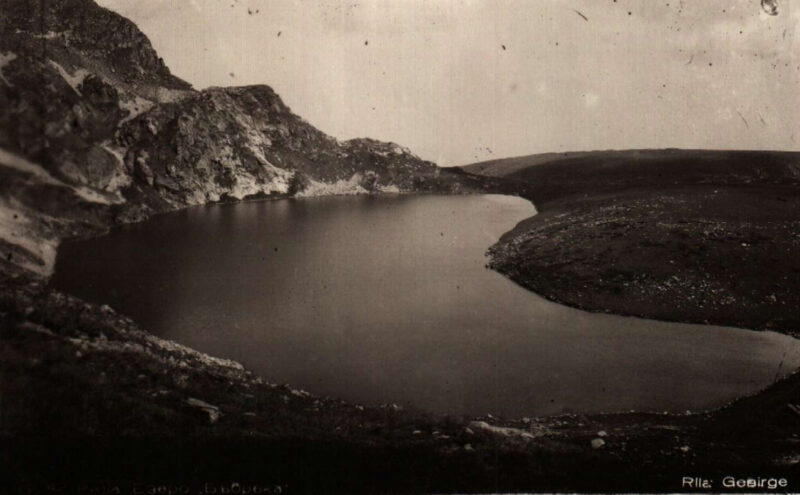

Know Marichino ezero well?
Suggest a beach, viewpoint, trail or amenity, or tell us if something has changed. We read every message.
Sources & data
- OpenStreetMap: Маричино езеро (way 439687485), OpenStreetMap contributors
- Bulgarian Wikipedia: Маричини езера, Wikimedia Foundation
- Wikipedia: Marichini Lakes, Wikimedia Foundation
- Lakes in the Rila mountains, Exciting Bulgaria
- Maritsa Hut, Planinka BG