
 Photo: Vassia Atanassova · Public domain

Bulgaria · Rila · Southwestern Bulgaria
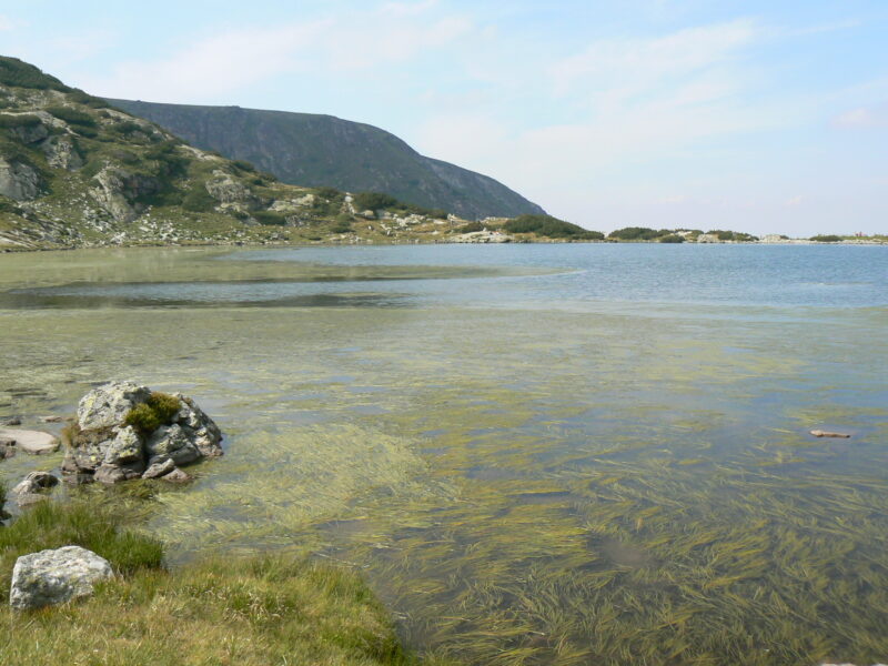
Ribnoto ezero
Glacial · natural
~0.4 kmaway
2,184 metreselevation
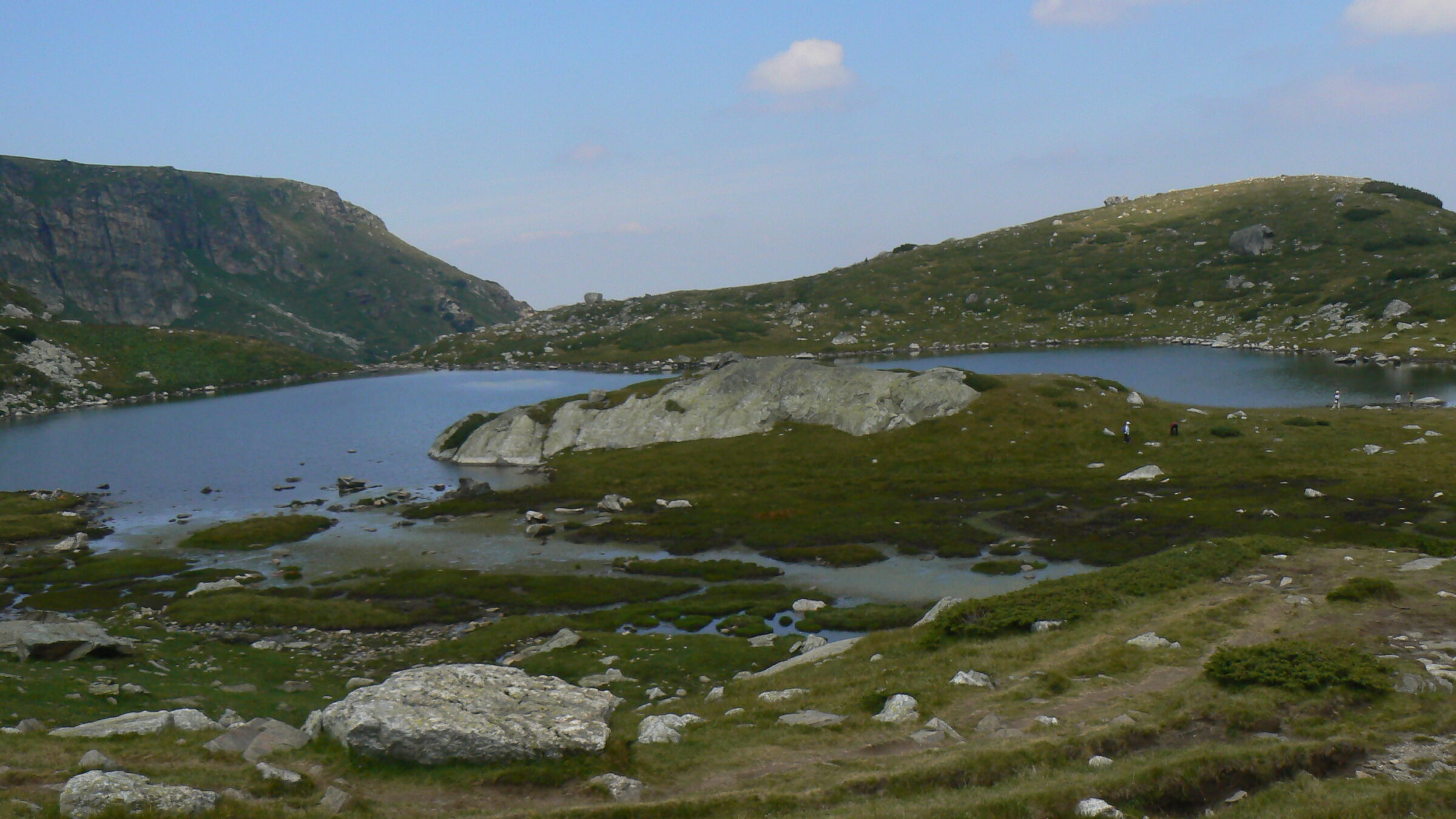
Photo: Vassia Atanassova · Public domain
The Trefoil, the fifth of the Seven Rila Lakes, of irregular shape, once called the Middle Ǵol.
At 2,216 m, it covers about 2.6 ha and reaches 6.5 m in depth, with irregular outlines and low shores. Water from Bliznaka passes through it on the way to Ribnoto. Its three-lobed shape is best seen from higher up.
The meadows around the lake are good for wildflowers, and its shallow edges show a lighter turquoise.
No reliable information
The usual start is Panichishte, above Sapareva Banya, about 1 hour 45 minutes by car from Sofia. The chairlift rises from about 1,570 m to about 2,100 m in 25 minutes, close to the Rila Lakes Hut (about 2,150 m). Check the time of the last ride down.
The path comes gently down to Trilistnika from Bliznaka, and it is quieter here than at the larger lake. The White Brotherhood holds its Paneurhythmy gatherings at this lake. The full round is about 8 km and 3.5 hours. See the Seven Rila Lakes page for more.
Photo: Vassia Atanassova · Public domainBulgaria · Rila · Southwestern Bulgaria
Glacial · natural
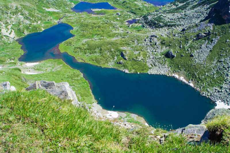 Photo: Dido3 · CC BY-SA 3.0
 Photo: Dido3 · CC BY-SA 3.0
Bulgaria · Rila · Southwestern Bulgaria
Glacial · natural
Suggest a beach, viewpoint, trail or amenity, or tell us if something has changed. We read every message.
Thank you. We read every suggestion.

