
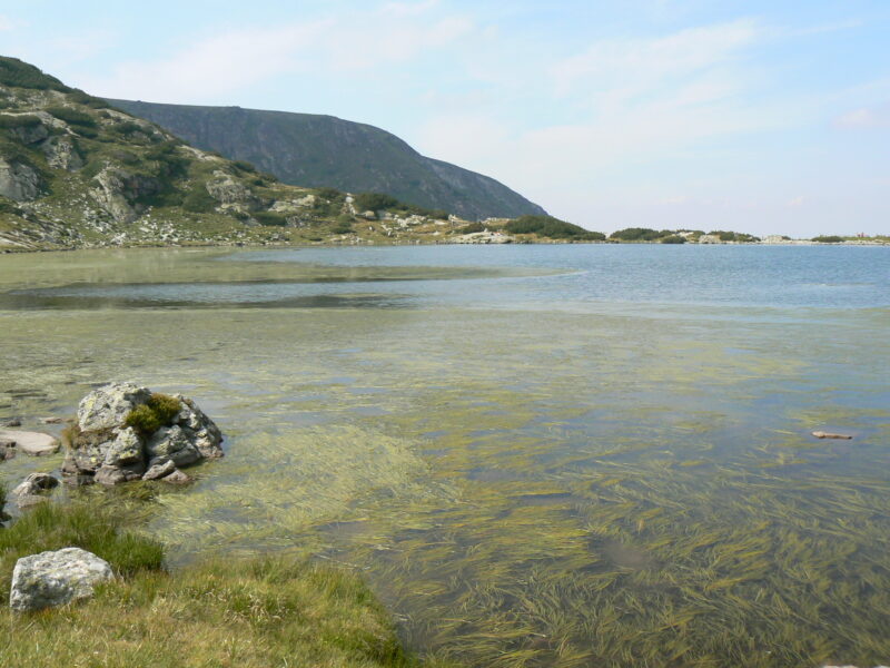
 Photo: Vassia Atanassova · Public domain

Bulgaria · Rila · Southwestern Bulgaria
Ribnoto ezero
Glacial · natural
~0.5 kmaway
2,184 metreselevation
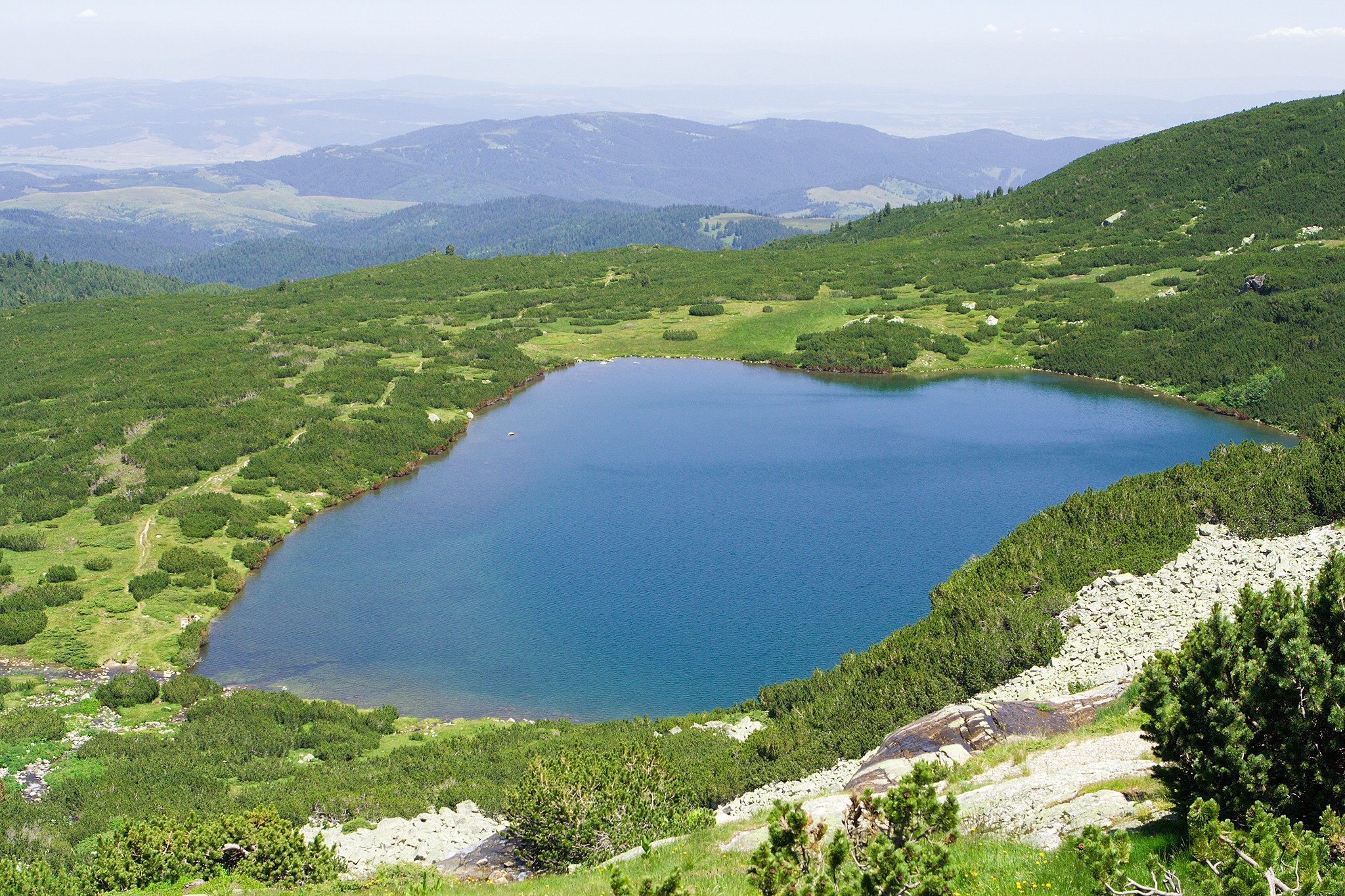
Photo: Dido3 · CC BY-SA 3.0
The Lower Lake, the lowest of the Seven Rila Lakes, at the foot of the cirque. It is where the waters of the other lakes gather to form the Dzherman River.
At 2,095 m, it is the lowest of the seven, covering about 5.9 ha and reaching 11 m in depth. A steep sill closes it off on the north side. The stream that leaves it is the start of the Dzherman, a left tributary of the Struma.
No reliable information
The usual start is Panichishte, above Sapareva Banya, about 1 hour 45 minutes by car from Sofia. The chairlift rises from about 1,570 m to about 2,100 m in 25 minutes, close to the Rila Lakes Hut (about 2,150 m). Check the time of the last ride down.
Dolnoto comes last on the way down the chain, after Ribnoto (the Fish Lake) and the hut beside it, close to the main return route to the Rila Lakes Hut and the lift. The lake is often wrapped in mist, so bring an extra layer. Longer, hard loops of up to about 18 km start from the Skakavitsa reserve and need good fitness and sure footing. See the Seven Rila Lakes page for more.
Photo: Vassia Atanassova · Public domainBulgaria · Rila · Southwestern Bulgaria
Glacial · natural
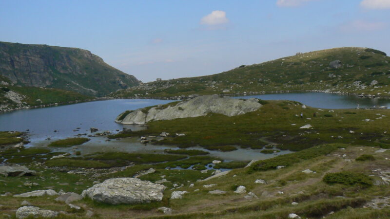 Photo: Vassia Atanassova · Public domain
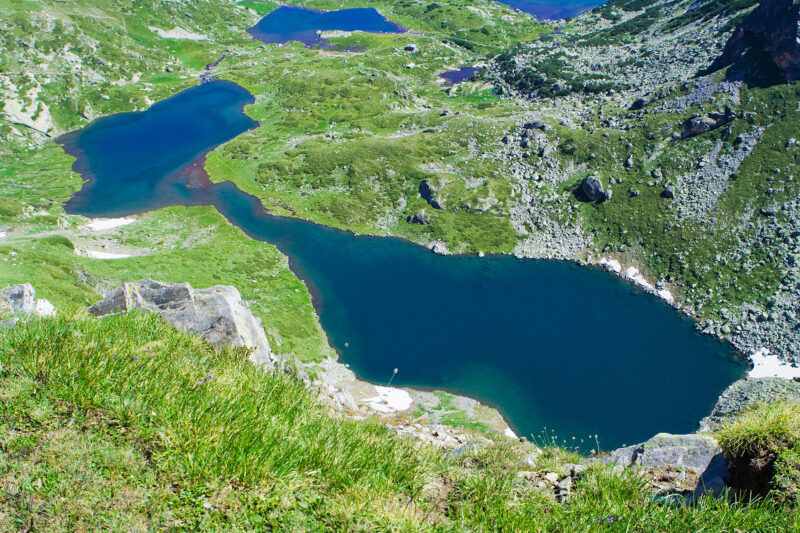 Photo: Dido3 · CC BY-SA 3.0
Suggest a beach, viewpoint, trail or amenity, or tell us if something has changed. We read every message.
Thank you. We read every suggestion.

