
 Photo: Vassia Atanassova · Public domain
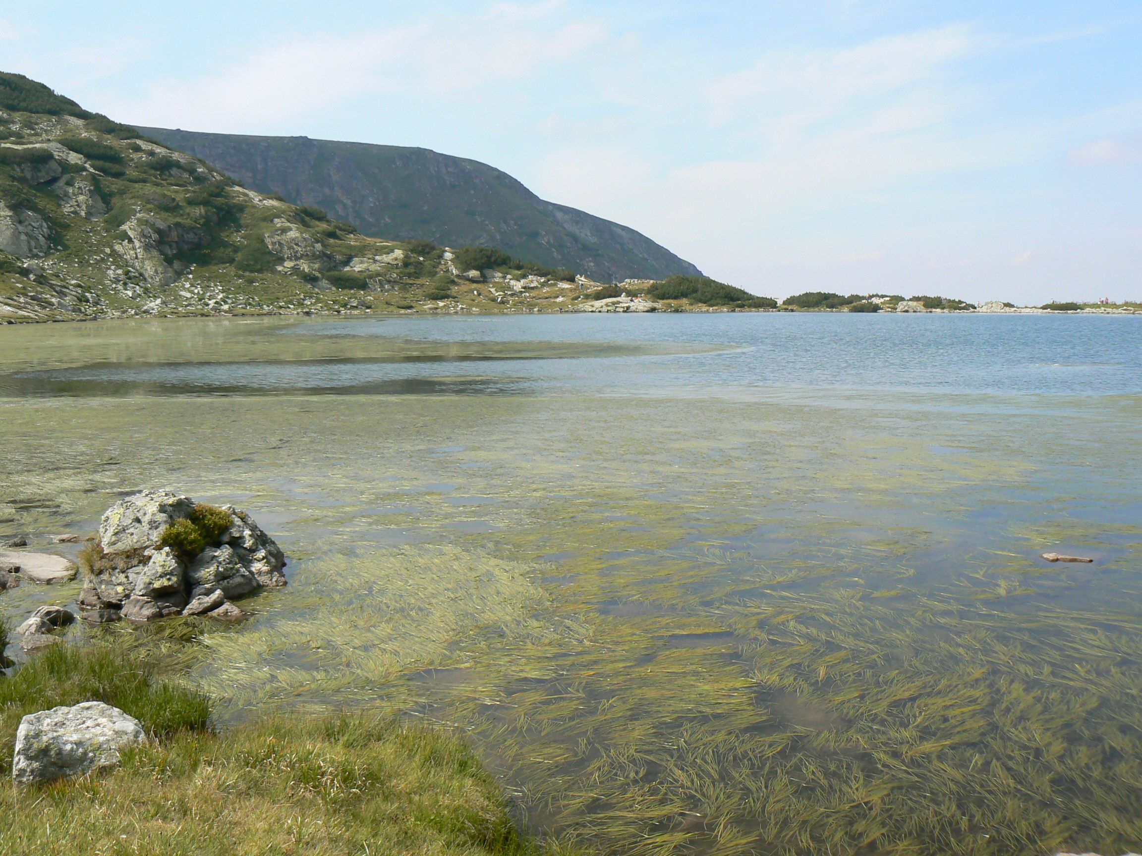
Photo: Vassia Atanassova · Public domain
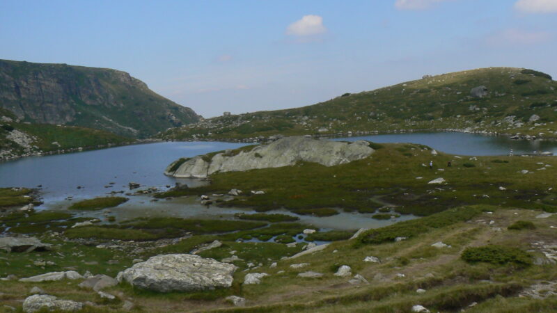
Ribnoto, the Fish Lake, is the sixth of the Seven Rila Lakes, at 2,184 m, and the shallowest of them. The old Seven Lakes hut stands on its north-east shore.
How it formed
It covers about 2.3 ha and is only 2.5 m deep. It takes the water of Trilistnika above and passes it on to Dolnoto, the last lake in the chain, and the cliffs are reflected in the water, especially in the low evening light.
Visit
Swimming
No reliable information
Tips
The usual start is Panichishte, above Sapareva Banya, about 1 hour 45 minutes by car from Sofia. The chairlift rises from about 1,570 m to about 2,100 m in 25 minutes, close to the Rila Lakes Hut (about 2,150 m). Check the time of the last ride down.
Ribnoto comes near the end of the round, on gentler ground, about 8 km and 3.5 hours in all. The hut area is one of the busiest points on the trail, with drinks and a place to rest; check in advance what is on sale. See the Seven Rila Lakes page for more.
Nearby lakes
Show on mapPhoto: Vassia Atanassova · Public domain
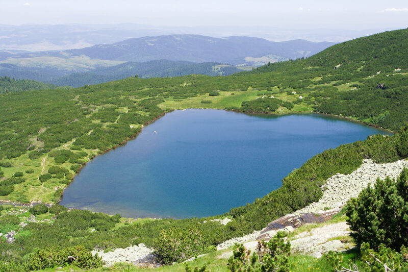 Photo: Dido3 · CC BY-SA 3.0

Bulgaria · Rila · Southwestern Bulgaria
Dolnoto ezero
Glacial · natural
~0.5 kmaway
2,095 metreselevation
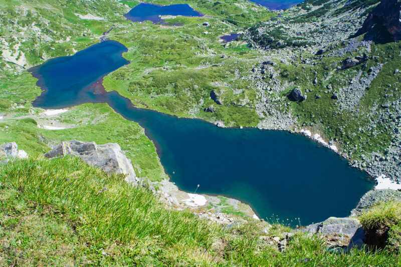 Photo: Dido3 · CC BY-SA 3.0

Know Ribnoto ezero well?
Suggest a beach, viewpoint, trail or amenity, or tell us if something has changed. We read every message.
Sources & data
- Wikidata: Fish Lake (Q12292355), Wikimedia Foundation
- OpenStreetMap: Рибното езеро (way 439492174), OpenStreetMap contributors
- Bulgarian Wikipedia: Рибното езеро, Wikimedia Foundation
- Bulgarian Wikipedia: Седемте рилски езера, Wikimedia Foundation
- Hiking to the Seven Rila Lakes: a complete guide (2025), Olympus Mountaineering