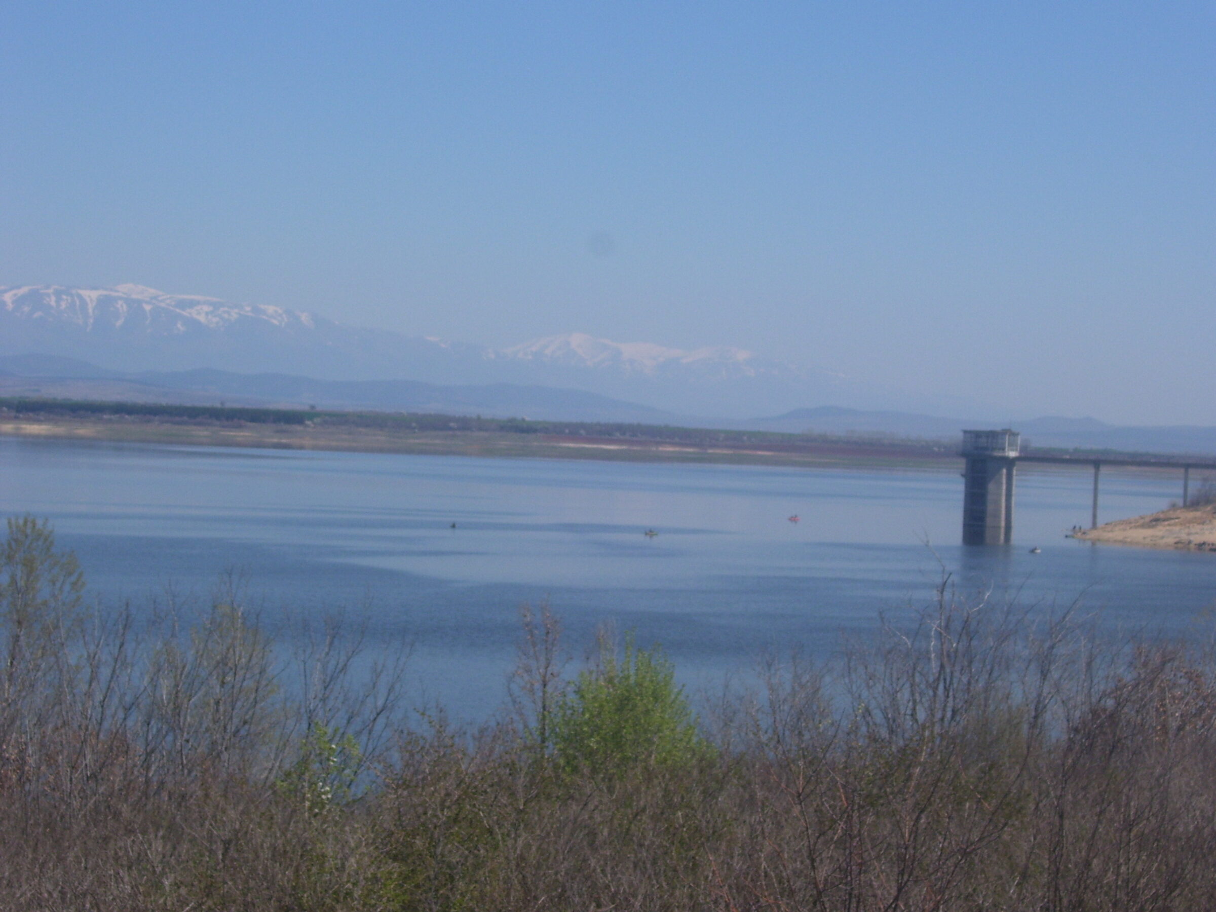
Photo: Мико · CC BY-SA 3.0
The Pyasachnik reservoir lies in the north-west of the Upper Thracian Plain, north-west of the village of Lyuben in Plovdiv Province, on the Pyasachnik river, a left tributary of the Maritsa. Low hills with oak woods and pine plantations surround it.
How it formed
Built in 1958–1964, at about 289 m, it holds about 206 million m³ and irrigates about 270 km² of farmland.
Nature
It regularly holds 20,000 or more waterbirds. Greater white-fronted geese winter here in important numbers, with smaller numbers of pygmy cormorants and red-breasted geese, and ferruginous ducks pass through on migration.
Visit
Swimming
No reliable information
Tips
This is a popular fishing water, and the world record for a grass carp caught on a hook, 39.75 kg, was set here in 2009. Ask in Lyuben about access to the shore and fishing rules.
Nearby lakes
Show on map


Know Pyasachnik Reservoir well?
Suggest a beach, viewpoint, trail or amenity, or tell us if something has changed. We read every message.
Sources & data
- Bulgaria's 2022 Water Framework Directive reporting to the EEA: lake (LW) and transitional (TW) water bodies, field cArea, European Environment Agency (WISE WFD), reported by Bulgaria, 2022
- OpenStreetMap: яз. Пясъчник (way 223450954), OpenStreetMap contributors
- English Wikipedia: Pyasachnik Reservoir, Wikimedia Foundation
- Wikidata: Pyasachnik Reservoir (Q11726676), Wikimedia Foundation
- Pyasachnik Reservoir: KBA factsheet, Key Biodiversity Areas Partnership