The Domlyan reservoir lies at about 351 m on the northern slopes of Sarnena Sredna Gora, near the village of Domlyan in Karlovo municipality, with the Balkan range rising behind it. It covers about 1.6 km².
How it formed
Built in 1964 on the Svezhenska river, it reaches 42 m in depth, with a dam 800 m long.
History
The lake was once a centre for water sports, and local water skiers became national champions.
Visit
Swimming
No reliable information
Tips
The surroundings are quiet, and the lake still has good conditions for water sports. Anglers fish for trout, carp, silver carp, perch, catfish, tench and chub. Ask in Domlyan about access and fishing rules.
Nearby lakes
Show on map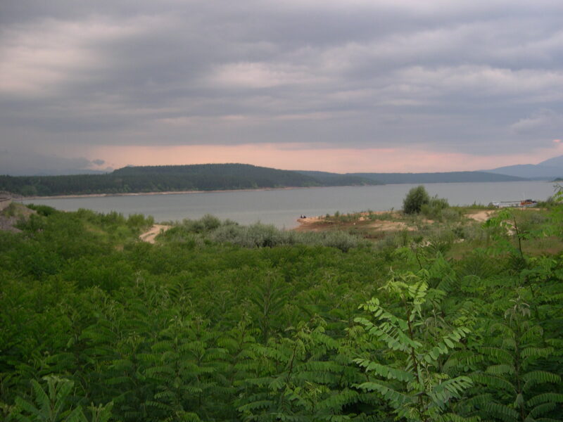

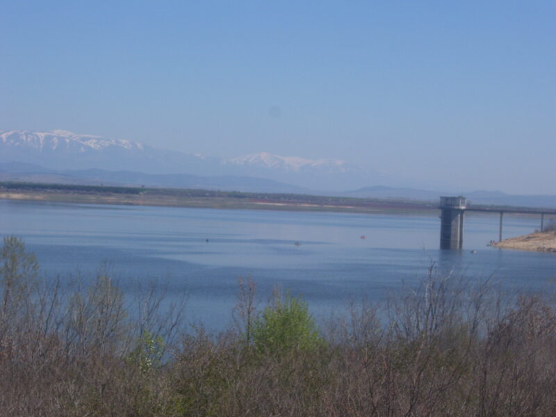 Photo: Мико · CC BY-SA 3.0

Bulgaria · Northern Bulgaria
Hristo Smirnenski Reservoir
Reservoir · artificial
Know Domlyan Reservoir well?
Suggest a beach, viewpoint, trail or amenity, or tell us if something has changed. We read every message.
Sources & data
- Bulgaria's 2022 Water Framework Directive reporting to the EEA: lake (LW) and transitional (TW) water bodies, field cArea, European Environment Agency (WISE WFD), reported by Bulgaria, 2022
- OpenStreetMap: яз.Домлян (way 25222512), OpenStreetMap contributors
- Bulgarian Wikipedia: Домлян (язовир), Wikimedia Foundation
- Domlyan dam, Photo Moments