The Hristo Smirnenski reservoir lies in a narrow gorge on the Panicharka, a left tributary of the Yantra, about 10 km south-west of Gabrovo. It covers about 1 km² and supplies drinking and industrial water to Gabrovo and the settlements around it.
How it formed
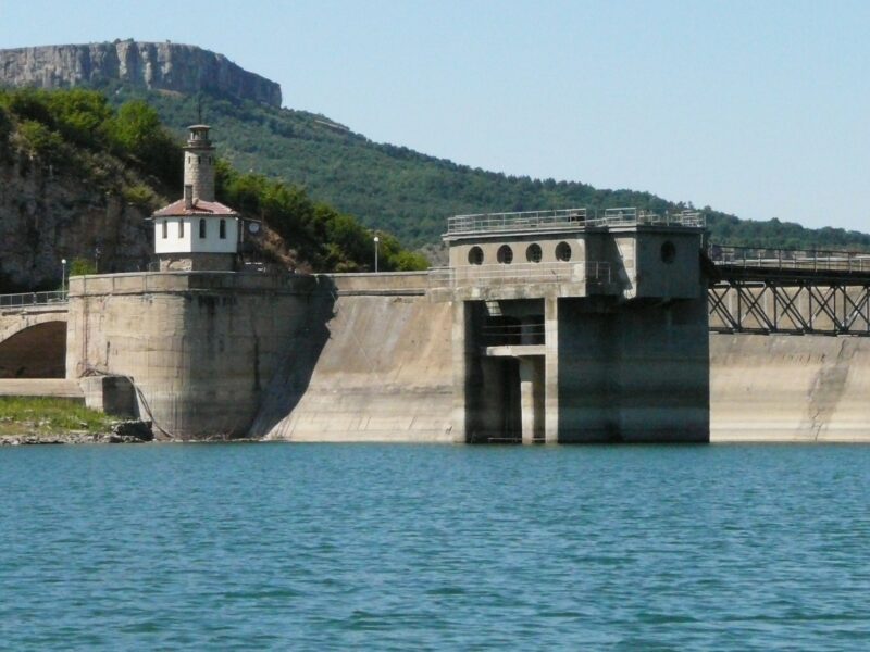
Filling was completed in 1967, and the earth and rock dam was later raised from 55 m to its present 63 m. It takes water from its own catchment and from a channel collecting from the Yantra, and a small power plant stands below the dam.
Visit
Swimming
No reliable information
Tips
As this is a drinking-water reservoir, public access to the immediate shore is prohibited. In the outer protection zone, fishing, rowing and sailing are allowed under sanitary supervision, while motorboats are banned. Carp and rudd are among the fish; check locally before you go.
Nearby lakes
Show on map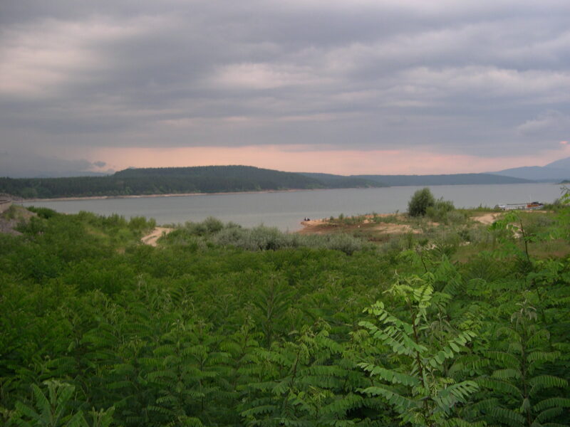


Know Hristo Smirnenski Reservoir well?
Suggest a beach, viewpoint, trail or amenity, or tell us if something has changed. We read every message.
Sources & data
- Bulgaria's 2022 Water Framework Directive reporting to the EEA: lake (LW) and transitional (TW) water bodies, field cArea, European Environment Agency (WISE WFD), reported by Bulgaria, 2022
- OpenStreetMap: яз. Христо Смирненски (way 25220613), OpenStreetMap contributors
- Wikidata: hristo-smirnenski-reservoir (Q19707872), Wikimedia Foundation
- Bulgarian Wikipedia: Христо Смирненски (язовир), Wikimedia Foundation