

Bulgaria · Northern Bulgaria
Hristo Smirnenski Reservoir
Reservoir · artificial
~22 kmaway
152 metreselevation
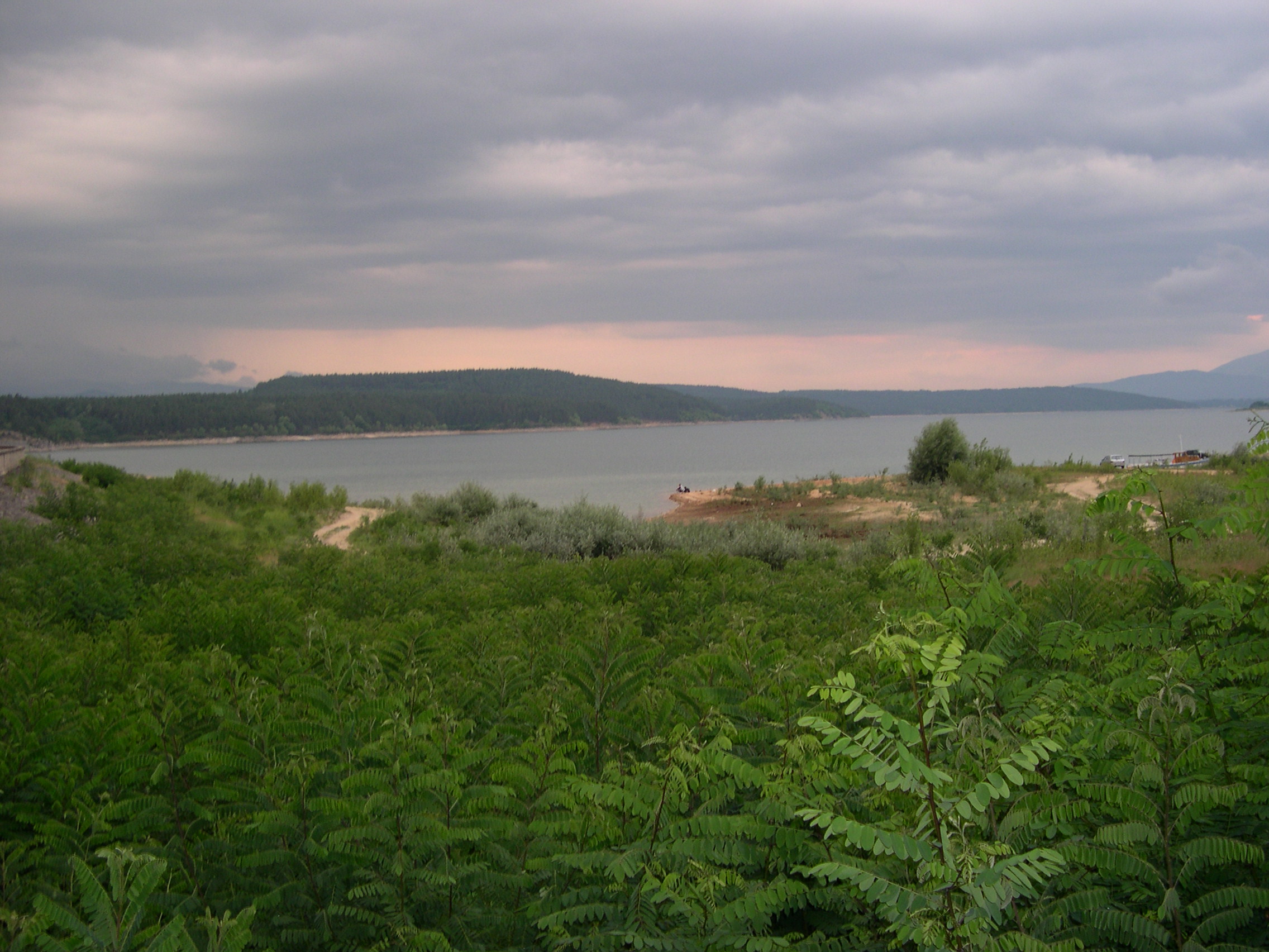
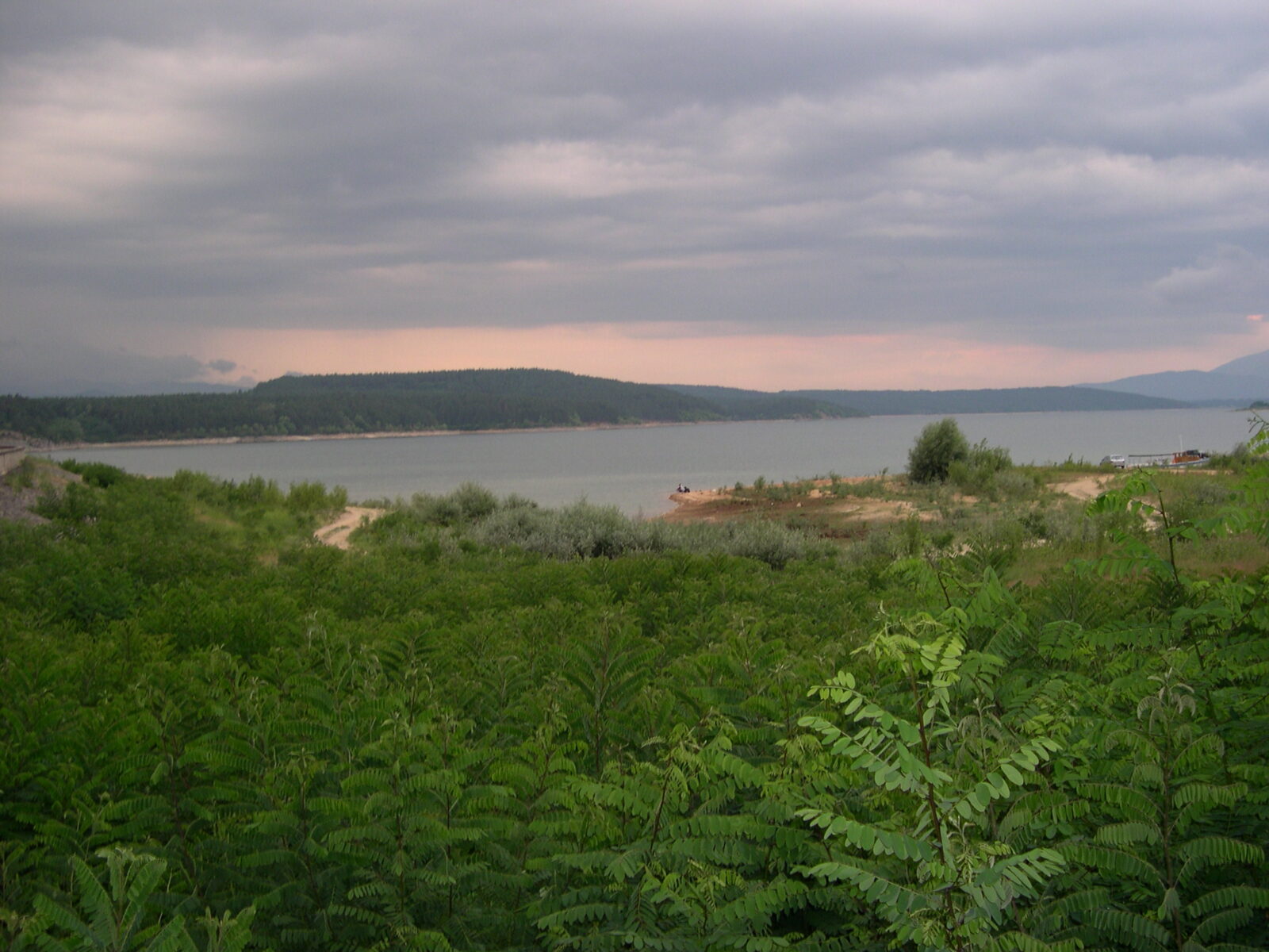
Koprinka is a reservoir in the Rose Valley of central Bulgaria, on the upper Tundzha, in the western part of the Kazanlak valley and just west of the city. It is about 7 km long, with rugged shores and many arms and bays, and the Gabrovnitsa also flows into it.
The first designs date from 1928, but work only began in 1947, filling started in 1954, and the reservoir officially opened in 1955. The dam is 44 m high and 834 m long, part masonry and part earth, and the spillway was rebuilt in 1962, raising the volume by more than half. It was fully drained in 1984 to repair the main outlet. The water serves irrigation, industry and power, and a 39 km canal carries it to Stara Zagora.
While the dam was being built, the ruins of Seuthopolis were found and excavated. Founded by the Thracian king Seuthes III between about 325 and 315 BC, it was the capital of the Odrysian kingdom, and it now lies under the water. The finds are in the museum in Kazanlak. In 2005 an architect proposed uncovering the city by building a wall around it in the middle of the lake, and in 2016 there was talk of turning the site into a cultural attraction.
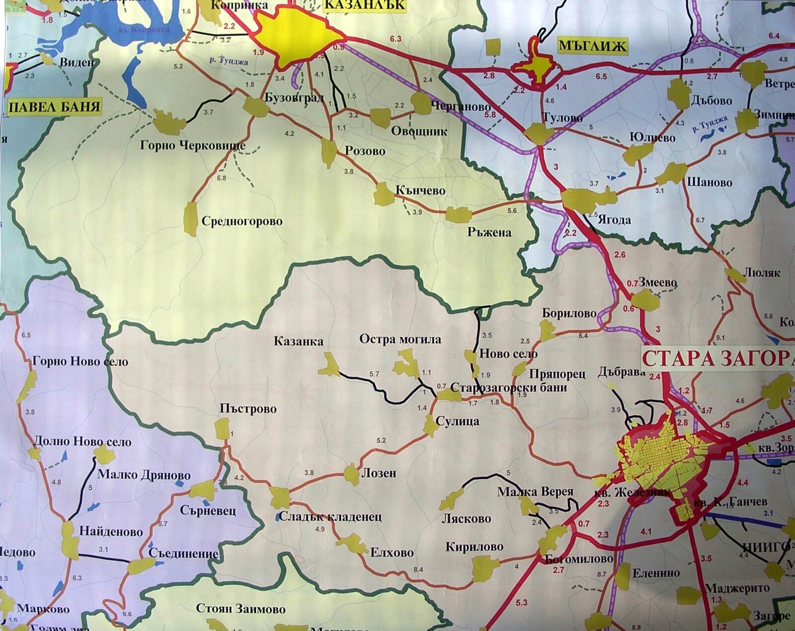 Photo: Zlatanov · Public domain
Nearest settlement: Kazanlak
No reliable information
Anglers find barbel, chub, carp, catfish and other freshwater fish, and the reservoir is managed, so some areas may need permits. There are rest houses, fishing facilities and footpaths, water sports in summer, and excellent views from the dam wall. Dawn in spring or autumn is good for birds, and many spend the winter here. Kazanlak has the cafés, restaurants and lodgings.
Seuthopolis lies under the water, so go to the Kazanlak museum first for the finds. Combine it with the Thracian tomb in Tyulbeto Park in Kazanlak and the Golyama Kosmatka tomb, the burial place of Seuthes III, near Shipka.
Bulgaria · Northern Bulgaria
Reservoir · artificial
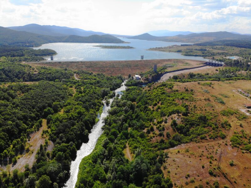 Photo: Cvdr · CC BY-SA 4.0
Suggest a beach, viewpoint, trail or amenity, or tell us if something has changed. We read every message.
Thank you. We read every suggestion.
