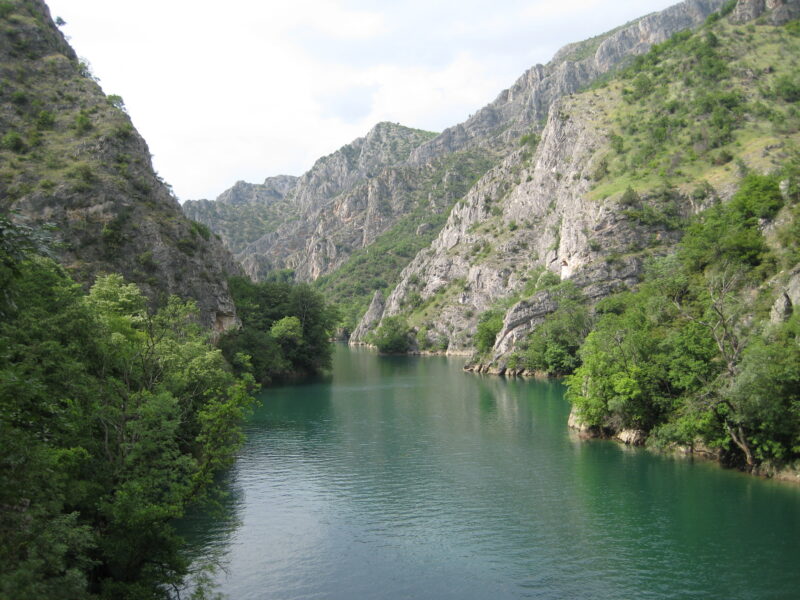
 Photo: Markus Bernet · CC BY-SA 2.5
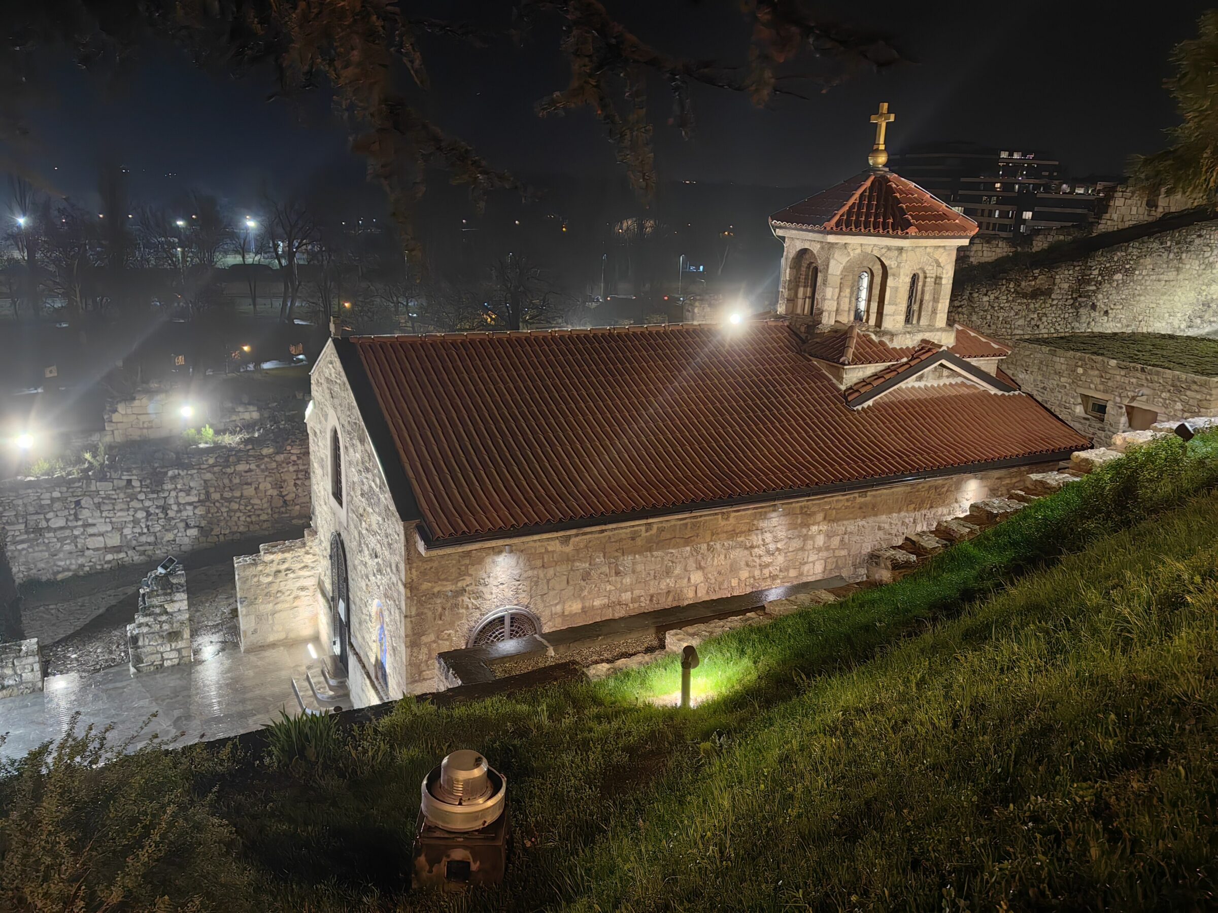
Photo: Александр Сигачёв · CC0
A Treska reservoir between Kozjak and Matka, made for the Sveta Petka hydropower plant.
How it formed
The dam and its 36-megawatt plant, completed around 2012, stand about 12 km downstream of Kozjak and 6 km upstream of Matka, the middle step of the Treska’s cascade of three reservoirs just outside Skopje.
Visit
Swimming
No reliable information
Tips
The reservoir lies just upstream of Lake Matka in the Treska gorge. A narrow, winding road leads to the Matka dam and its car park, a paved path runs on to the hotel, and a lakeside path continues about 6 km into the valley. Boats and kayaks can be hired on Lake Matka, and the 14th-century monasteries of St Andrew and the Holy Mother of God stand in the canyon. Alpine walks run from Easter to November.
Nearby lakes
Show on mapPhoto: Markus Bernet · CC BY-SA 2.5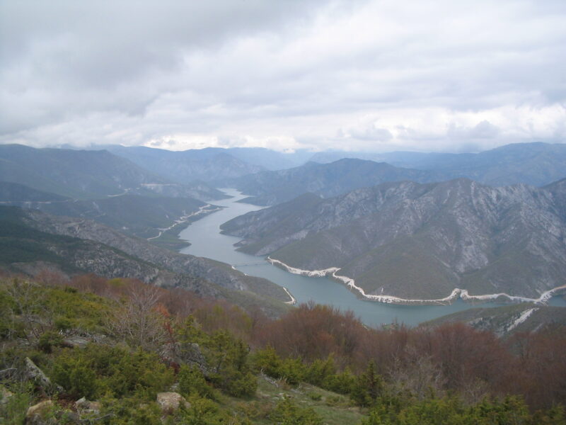


Know Sveta Petka well?
Suggest a beach, viewpoint, trail or amenity, or tell us if something has changed. We read every message.
Sources & data
- OpenStreetMap: Акумулација Света Петка (way 701868141), OpenStreetMap contributors
- HES Treska, ESM
- Matka: canyon, dam and gorge near Skopje, Alaturka