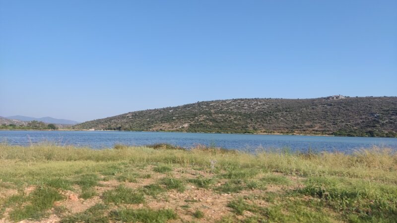
 Photo: NikosLikomitros · CC0
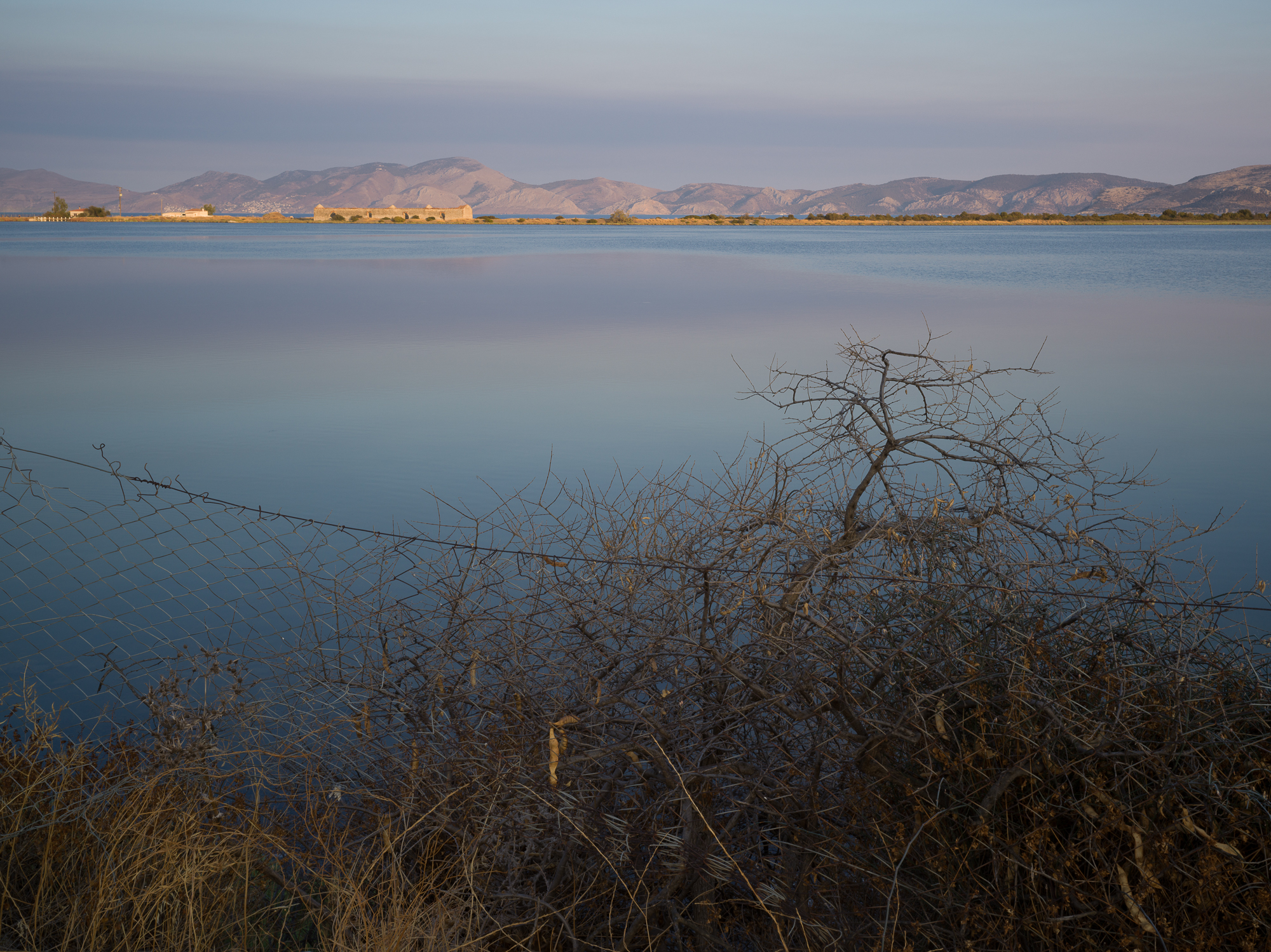
Photo: Nikos Konstantinidis · CC BY-SA 4.0
The Thermisia lagoon lies beside the seaside village of Thermisia in Argolis, about 7–10 km east of Ermioni, and covers about 0.8 km². It is named after the hot springs that were once active here.
History
Pausanias mentions a temple of Demeter Thermasia nearby, though no trace of it survives. In the Venetian period the lagoon was used as a salt pan, and in modern times for fish farming. On a rock high above stands the 12th-century castle of Thermisia.
Nature
Migratory birds stop here in spring, among them herons, gulls and glossy ibises, and rare species using the lagoon are protected under EU and international law.
Visit
Swimming
No reliable information
Tips
Spring is the best time for the birds and the colours of the lagoon. Thermisia makes an easy day trip from Ermioni, with sandy beaches and taverns serving fresh seafood along the coast, and the castle is fairly easy to reach despite the height of its rock.
Nearby lakes
Show on map


Know Thermisia Lagoon well?
Suggest a beach, viewpoint, trail or amenity, or tell us if something has changed. We read every message.
Sources & data
- Greece's 2022 Water Framework Directive reporting to the EEA: lake (LW) and transitional (TW) water bodies, field cArea, European Environment Agency (WISE WFD), reported by Greece, 2022
- OpenStreetMap: Λιμνοθάλασσα Θερμησίας (way 31544705), OpenStreetMap contributors
- Wikidata: Thermisia lagoon (Q24896501), Wikimedia Foundation
- Thermisia Lagoon, All Over Greece
- The Thermisia Lagoon of Ermioni, Land Life Travel
- Thermisia, Greeka