
 Photo: Demiesk · CC BY-SA 4.0
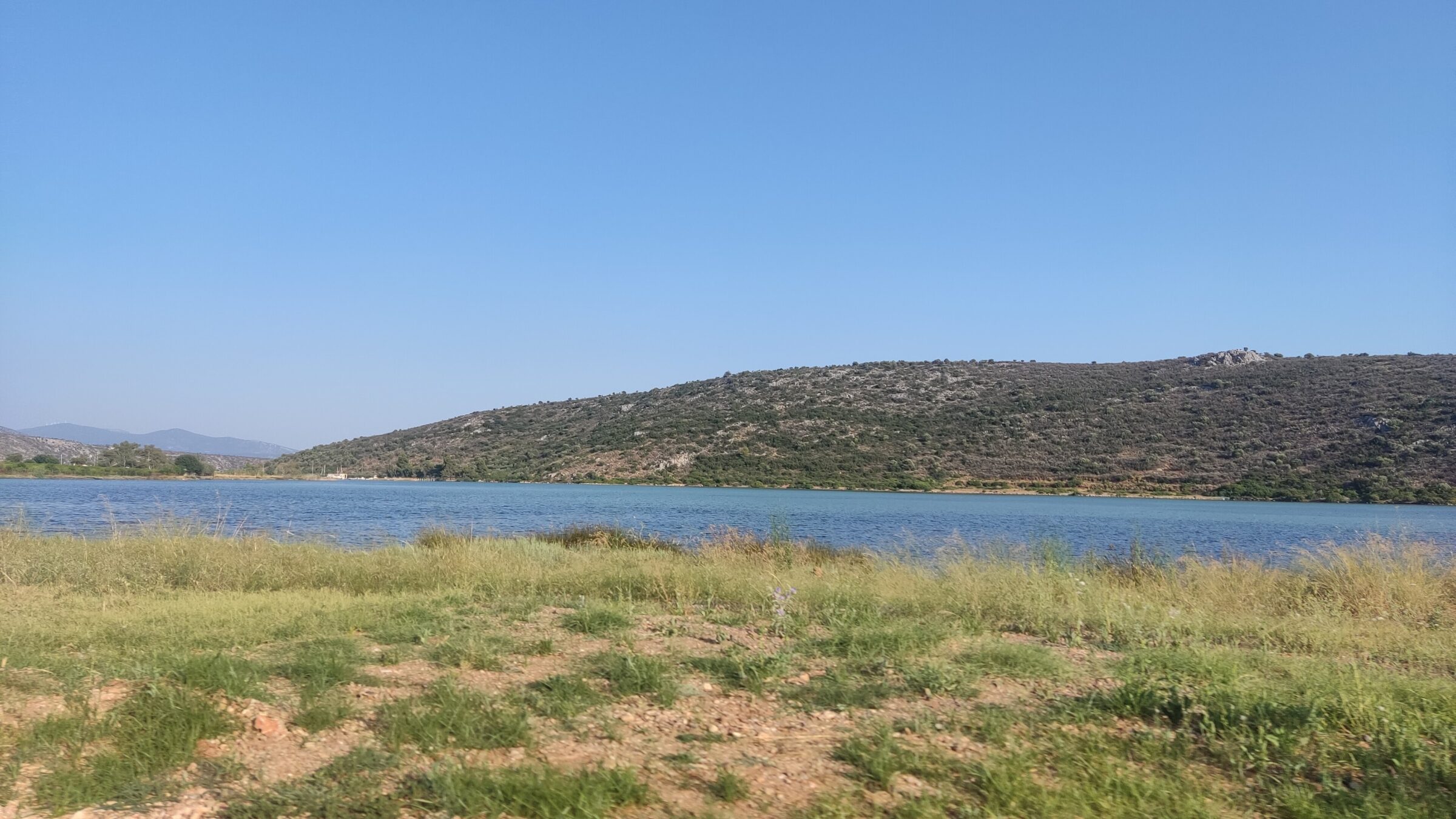
Photo: NikosLikomitros · CC0
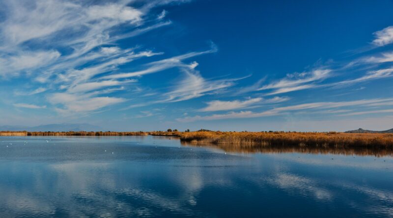
The Vivari lagoon lies in Argolis in the Peloponnese, between Drepano and the fishing village of Vivari, about 15 km from Nafplio. A narrow channel links it with the Argolic Gulf, and it is only about 1.5 m deep at most.
History
The name comes from the Latin vivarium, as the lagoon was traditionally a natural fish farm for sea bream, sea bass, mullet and sole.
Nature
The lagoon is protected for its biodiversity, with many kinds of fish, and it is a refuge for migrating birds, including herons, cormorants, kingfishers, swans and ducks.
Visit
Swimming
No reliable information
Tips
The migration seasons are the time for birdwatching. The village of Vivari is known for its fish taverns with views over the gulf, and there are beaches for swimming nearby. It is easily combined with Nafplio.
Nearby lakes
Show on mapPhoto: Demiesk · CC BY-SA 4.0
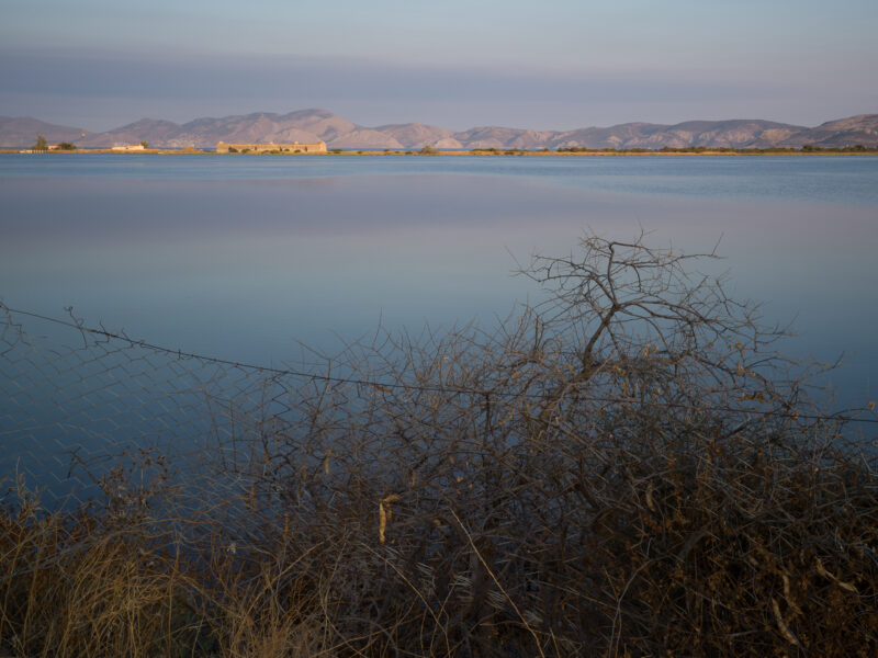 Photo: Nikos Konstantinidis · CC BY-SA 4.0

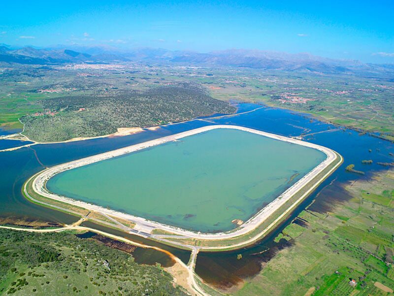 Photo: Apostolos Papageorgiou · CC BY-SA 3.0

Know Vivari Lagoon well?
Suggest a beach, viewpoint, trail or amenity, or tell us if something has changed. We read every message.
Sources & data
- Greece's 2022 Water Framework Directive reporting to the EEA: lake (LW) and transitional (TW) water bodies, field cArea, European Environment Agency (WISE WFD), reported by Greece, 2022
- OpenStreetMap: Λιμνοθάλασσα Βιβαρίου (way 9508145), OpenStreetMap contributors
- Vivari Lagoon, All Over Greece
- Nafplio: the Vivari lagoon with unique colours, Exploring Greece