
 Photo: Rhode-Moyer · CC0
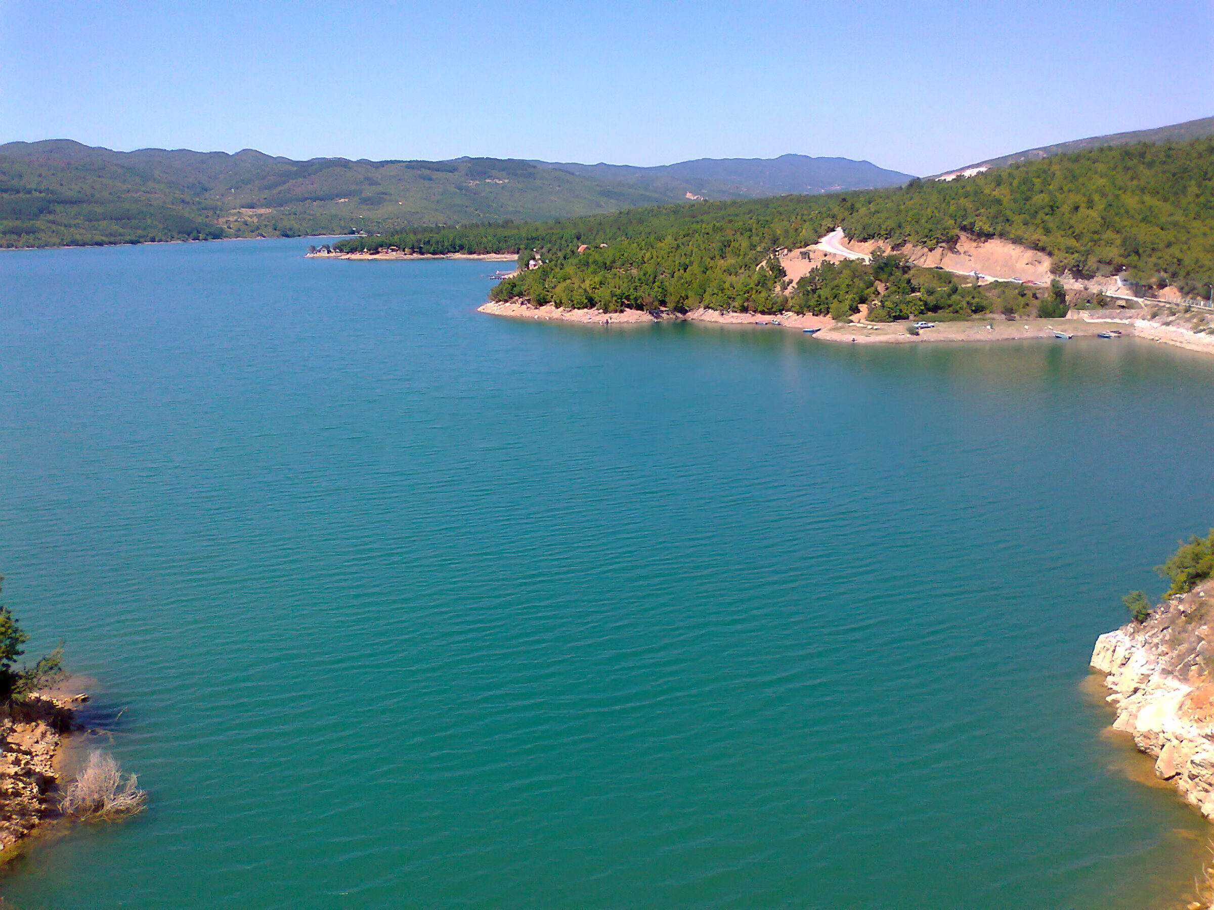
Photo: Gorge Murat · CC BY 3.0
Vodočko Ezero is a storage reservoir near the village of Popčevo, between Belotino and Popčevo in the Strumica municipality, in the basin of the Vodočnica and Trkajana rivers.
How it formed
The lake was built to irrigate the crops of the Strumica valley, and its water level changes a good deal through the year.
Nature
Many marsh birds live here, and the main fish are carp, roach and belvica.
Visit
Getting there
Nearest settlement: Strumica
Swimming
No reliable information
Tips
The lake and its surroundings suit fishing, walking, jogging and cycling. There are no designated beaches or lifeguards, and swimming is generally discouraged, so ask locally before you go in. In July and August the surface water is warm.
In the village of Vodoča, about 5 km north-east of Strumica, stands the Monastery of St Leontius, rebuilt after an earthquake in 1931.
Nearby lakes
Show on mapPhoto: Rhode-Moyer · CC0
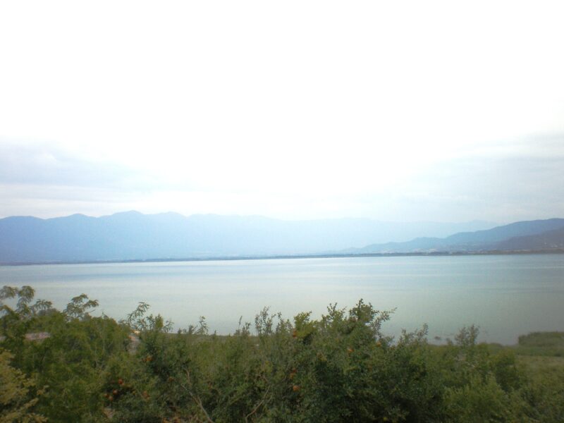 Photo: Македонец · CC BY-SA 3.0

Greece (Central Macedonia) · North Macedonia (Southeastern Region)
Lake Dojran
Karst, Tectonic · natural
~27 kmaway
144 metreselevation
 Photo: Darko Nikolovski · CC BY-SA 3.0

Know Vodočko Ezero well?
Suggest a beach, viewpoint, trail or amenity, or tell us if something has changed. We read every message.
Sources & data
- Macedonian Wikipedia: Водоча (езеро), Wikimedia Foundation
- OpenStreetMap: Водочко Езеро (way 27616251), OpenStreetMap contributors
- Wikidata: vodocko-ezero (Q11058229), Wikimedia Foundation
- Mountains and waters, Come2Strumica
- Wikipedia: Vodoča, Wikimedia Foundation
- Water temperature in Lake Vodocha, Seatemperature.net