
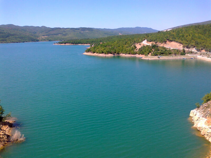
 Photo: Gorge Murat · CC BY 3.0
Photo: Rhode-Moyer · CC0
Mantovo is a reservoir on the Kriva Lakavica near Radoviš and Konče, in south-eastern North Macedonia. With the river below it, it is an Important Bird Area.
How it formed
The dam and its irrigation system were built between 1974 and 1986 and water about 5,500 hectares of the Radoviš and Konče fields, as well as serving industry. A project would bring in water from the Smiljanska river as well.
Nature
Research has found manganese, iron and copper to be important pollutants in the lake, and has called for less waste water from the towns and for its banks to be stabilised.
Visit
Getting there
Nearest settlement: Radoviš
Swimming
No reliable information
Tips
The lake is used for sports, but it is first of all a working reservoir, so ask in Radoviš or Konče about access to the shore, fishing and swimming.
Nearby lakes
Show on mapPhoto: Gorge Murat · CC BY 3.0
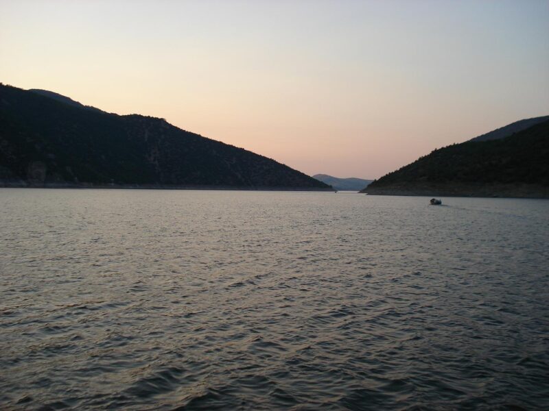 Photo: Pero Veliki · CC BY-SA 3.0

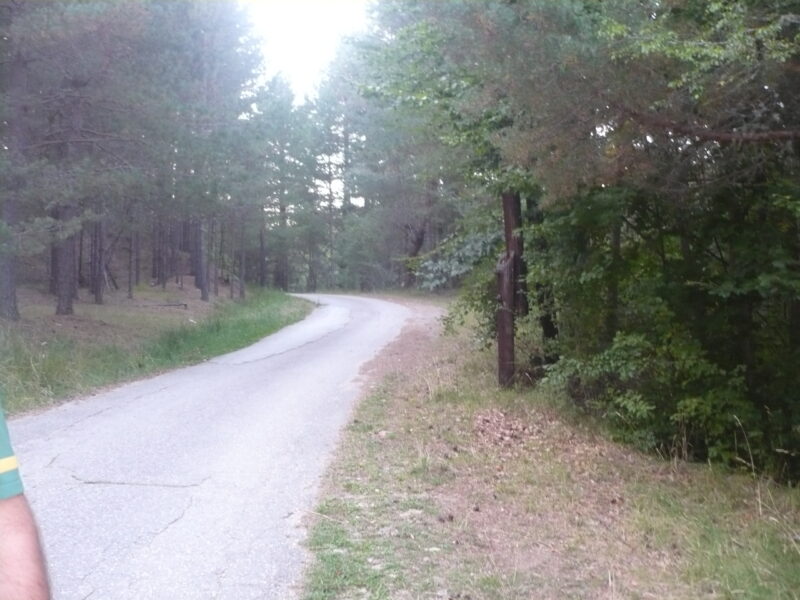 Photo: Darko Nikolovski · CC BY-SA 3.0

Know Mantovo well?
Suggest a beach, viewpoint, trail or amenity, or tell us if something has changed. We read every message.
Sources & data
- OpenStreetMap: Мантово (way 192085216), OpenStreetMap contributors
- Wikidata: mantovo (Q20933159), Wikimedia Foundation
- Subsidiary Radovishko Pole, JSC Water Economy of North Macedonia
- The status of the Mantovo Reservoir and management perspectives (2015), Water Research and Management
- Lake Mantovo and river Lakavica, BirdLife International