 Photo: Rhode-Moyer · CC0
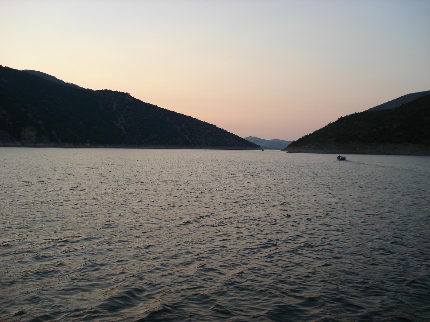
Photo: Pero Veliki · CC BY-SA 3.0
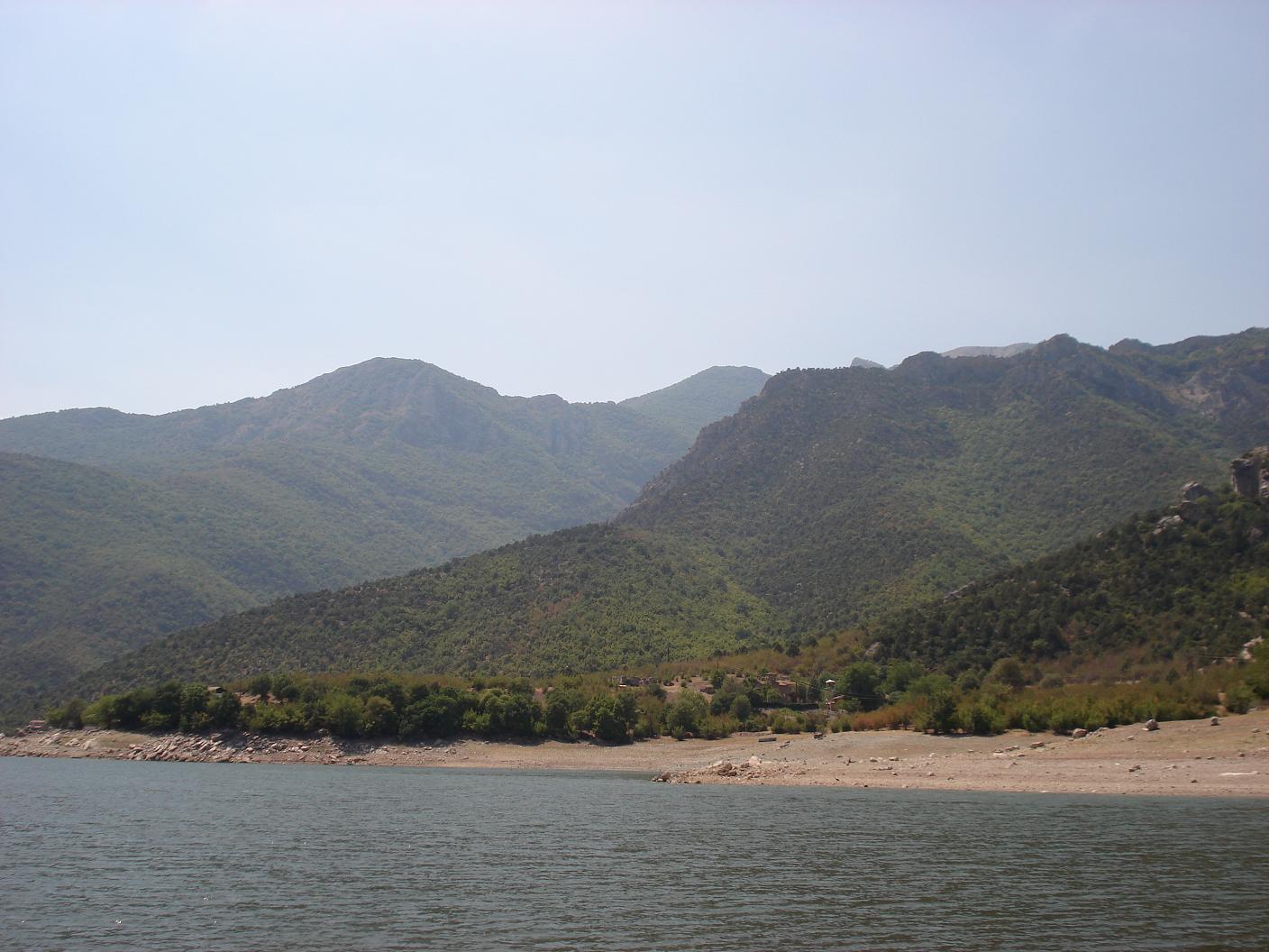
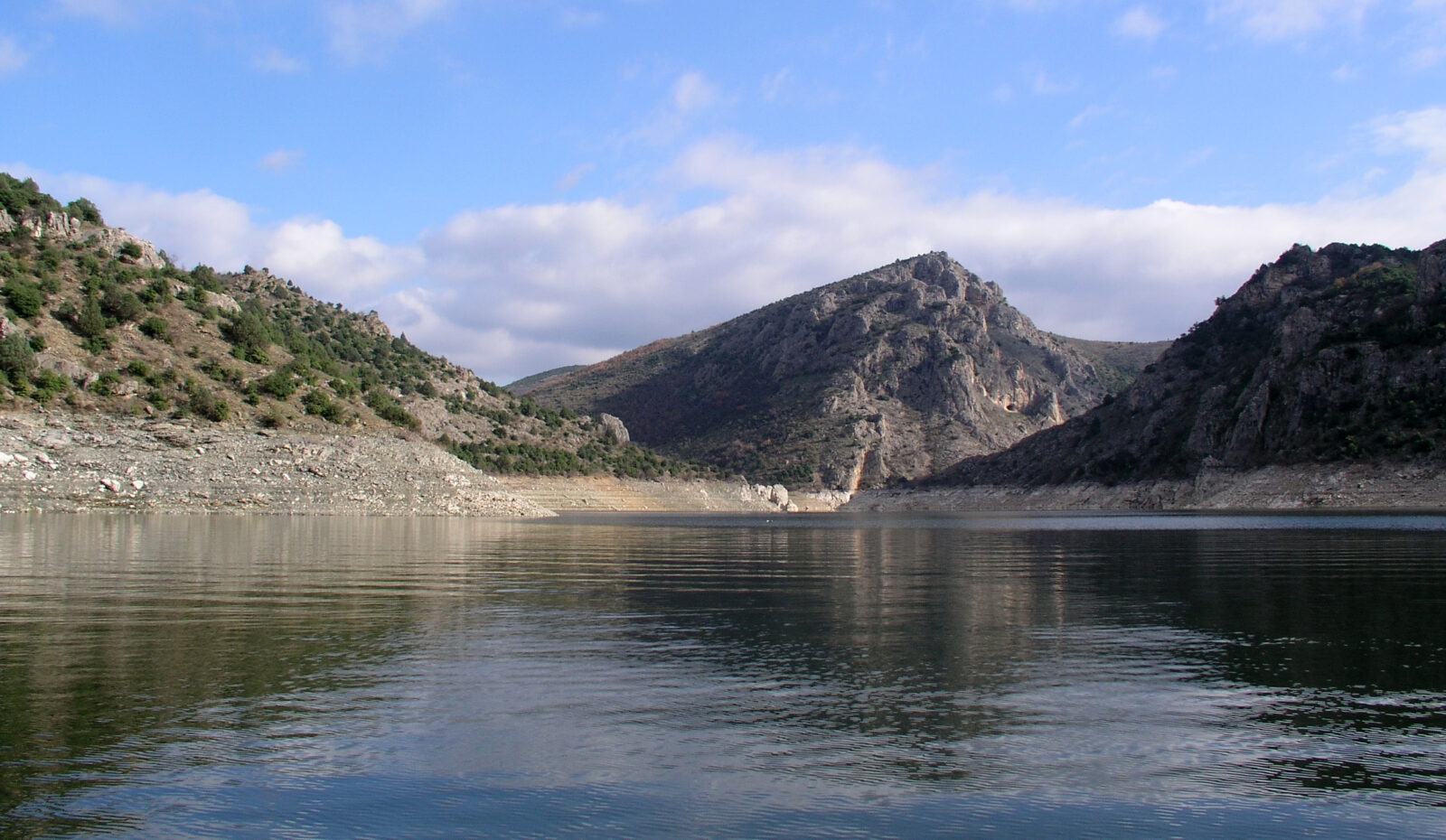
Tikveš Lake is an artificial lake on the Crna Reka, south-west of Kavadarci. It was created in 1968, when the canyon of the river was closed by a rockfill dam with a clay core. It covers about 14 km² and is up to 100 m deep, and it is described as the largest artificial lake in North Macedonia by area, depth and length. At full capacity it is 28.5 km long: the upper part runs from west to east, then the lake makes a bend of about 90 degrees and its lower part runs south to north towards the dam of the Tikveš hydroelectric plant.
History
The monastery of St George Pološki stands on the shore, on the slopes of Višešnica. Since the valley was flooded it has been reached mainly by boat, and it has panoramic views over the water.
Nature
Steep cliffs and thick bushes line the shores, with an occasional small beach. Fishing is the main draw, above all for wels catfish, which can reach 2 m.
Gallery
Visit
Getting there
Nearest settlement: Kavadarci
Swimming
No reliable information
Tips
Tikveš lies 10–12 km south-west of Kavadarci, on a well-signposted road past the vineyards and the village of Vozarci; turn south at Vozarci for the small beach. Small boats can be rented in summer for pleasure or fishing, and a boat with a guide can be arranged from the fish restaurant on the north-eastern shore, including trips to the monastery.
Most weekend houses here can be reached only by boat, and facilities are limited to a few fish restaurants. Kavadarci is the wine capital of North Macedonia, and day trips combine the lake, a wine museum and the monastery. Staff at the two museums in Kavadarci can help with information.
Nearby lakes
Show on mapPhoto: Rhode-Moyer · CC0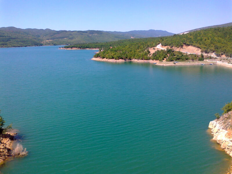 Photo: Gorge Murat · CC BY 3.0


Know Tikveš Lake well?
Suggest a beach, viewpoint, trail or amenity, or tell us if something has changed. We read every message.
Sources & data
- Статистички годишник на Република Македонија 2014, tables T-02.01.5 "Водени површини" and T-02.01.6 "Езера", Државен завод за статистика, 2014
- OpenStreetMap: Тиквешко Езеро (relation 17907466), OpenStreetMap contributors
- Wikidata: Tikveš Lake (Q3086506), Wikimedia Foundation
- Macedonian Wikipedia: Тиквешко Езеро, Wikimedia Foundation
- Lake Tikveš, Journey Macedonia
- Lake Tikveš, In Your Pocket
- Local tour in Kavadarci: Tikvesh Lake, St George Poloski Monastery, Kajak.mk