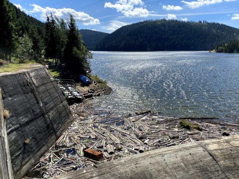
 Photo: Ciuca Valeriu · CC BY-SA 4.0
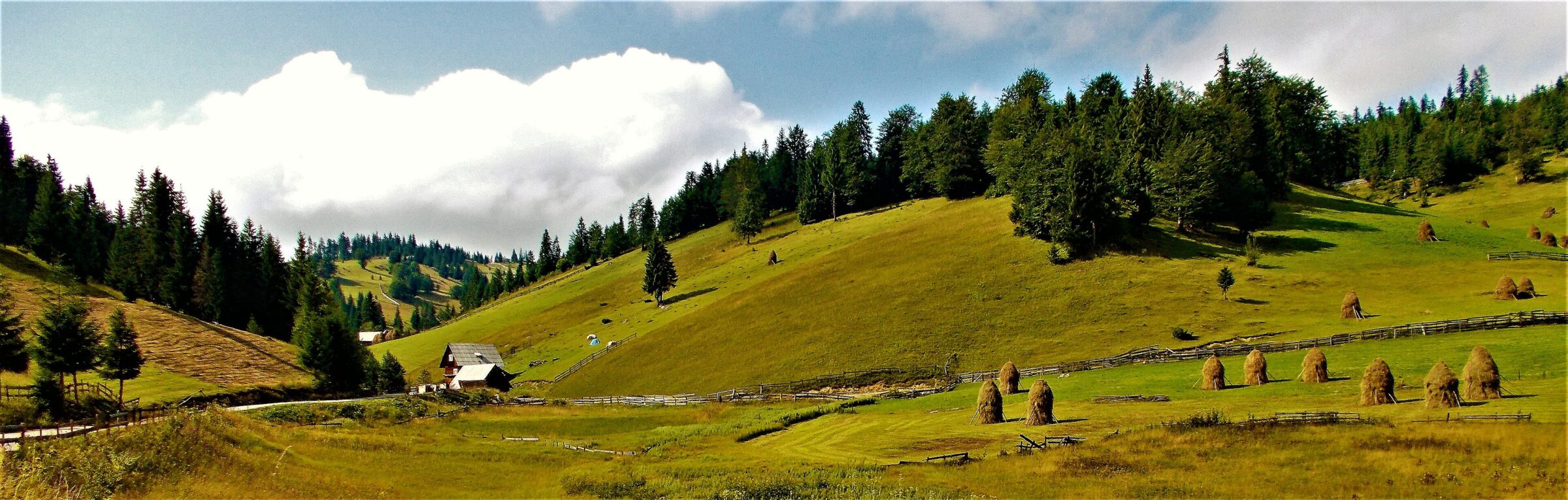
Photo: Nicu Farcaș · CC BY-SA 4.0
Apuseni Natural Park is a protected area of IUCN category V in western Romania, on the territory of Alba, Bihor and Cluj counties. It covers the central-northern side of the Apuseni Mountains, with part of the Bihor Mountains to the south and the Vlădeasa Mountains to the north. It was declared a protected area by law in 2000 and takes in mountain peaks, cirques, caves, valleys, karst areas, forests and pastures, with flora and fauna typical of the Western Carpathians. Several natural reserves lie inside it, among them the Vârtop ice cave, and the park has three resorts: Boga, Fântânele and Vârtop.
Visiting Apuseni
Scărișoara Ice Cave, at about 1,100 m, is reached on foot in roughly half an hour; the guided tour inside lasts 30 to 45 minutes, and the cave is cold all year, so dress warmly. Its underground glacier is among the largest in Europe. Bears' Cave (Peștera Urșilor) holds fossil cave-bear remains, and Cetățile Ponorului has a 70 m entrance portal and underground lakes. Hiking loops include the challenging Galbenei Gorge–Ponor Fortresses loop from Padiș and a moderate Scărișoara loop from Ghețari (about 9.3 km, 420 m of climbing). Autumn is striking, and winter walking needs gear and experience. Bring boots, warm clothes and binoculars, and check the park administration's site, parcapuseni.ro.
Lakes in the area
Skip map
Map unavailable. The list keeps working.
Pinch to zoom. Pan with two fingers.
Ctrl+scroll to zoom (Cmd+scroll on Mac)
- Natural lake
- Natural, regulated
- Artificial lake (reservoir)
Photo: Ciuca Valeriu · CC BY-SA 4.0
Know Apuseni Natural Park well?
Tell us if something has changed or is missing. We read every message.
Sources & data
- English Wikipedia: Apuseni Natural Park, Wikimedia Foundation
- Apuseni: Padiș and Scărișoara Cave, Welcome to Romania
- Apuseni Natural Park, Romanian Friend