

 Photo: Țetcu Mircea Rareș · CC BY-SA 4.0
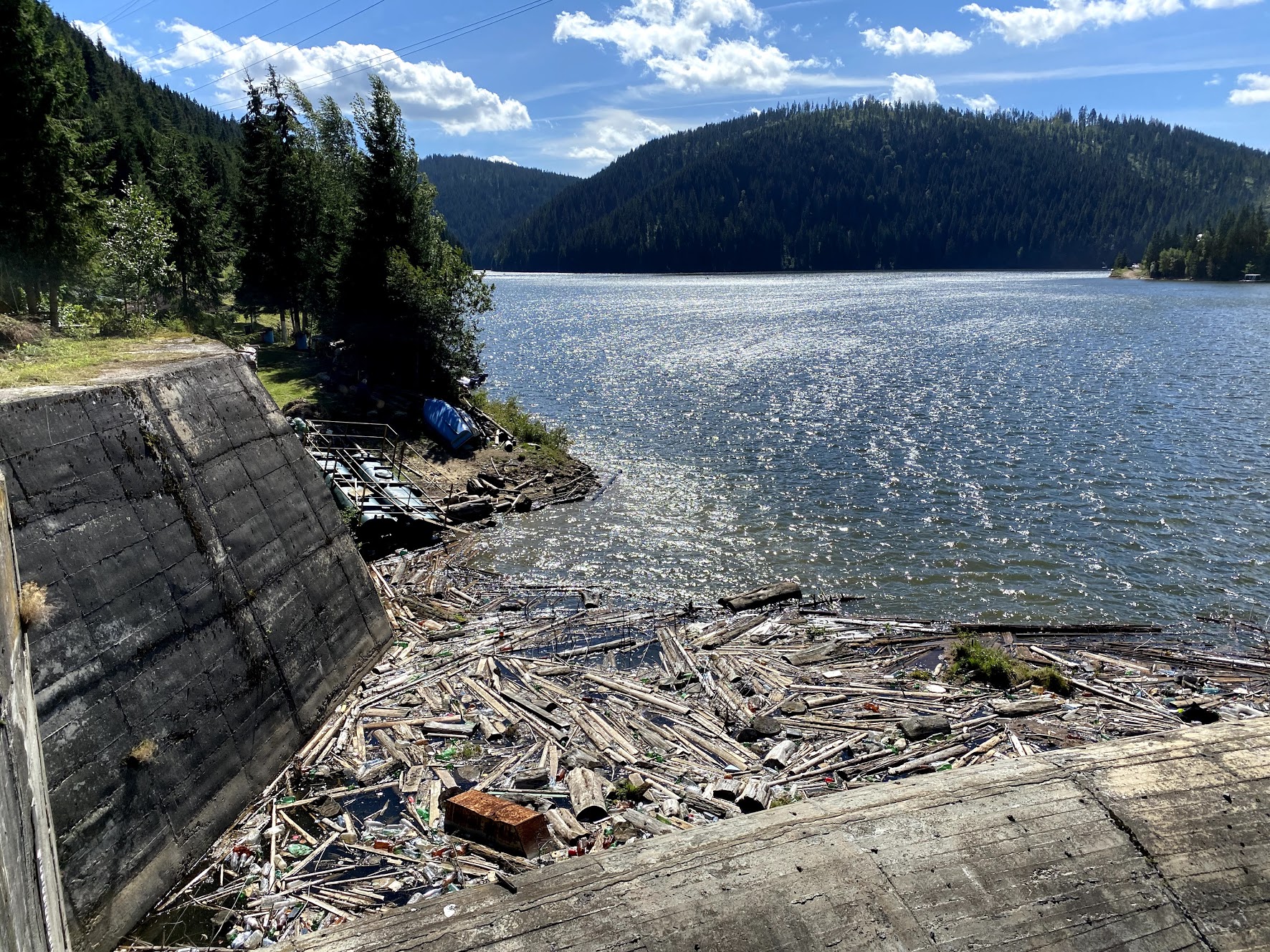
Photo: Ciuca Valeriu · CC BY-SA 4.0
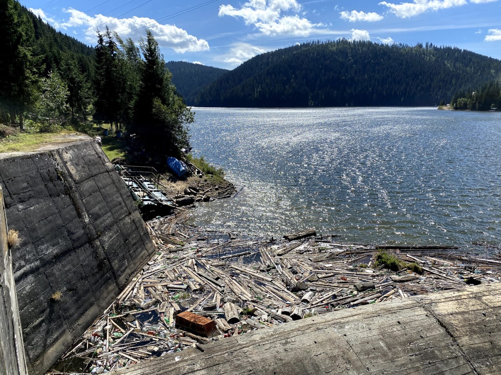
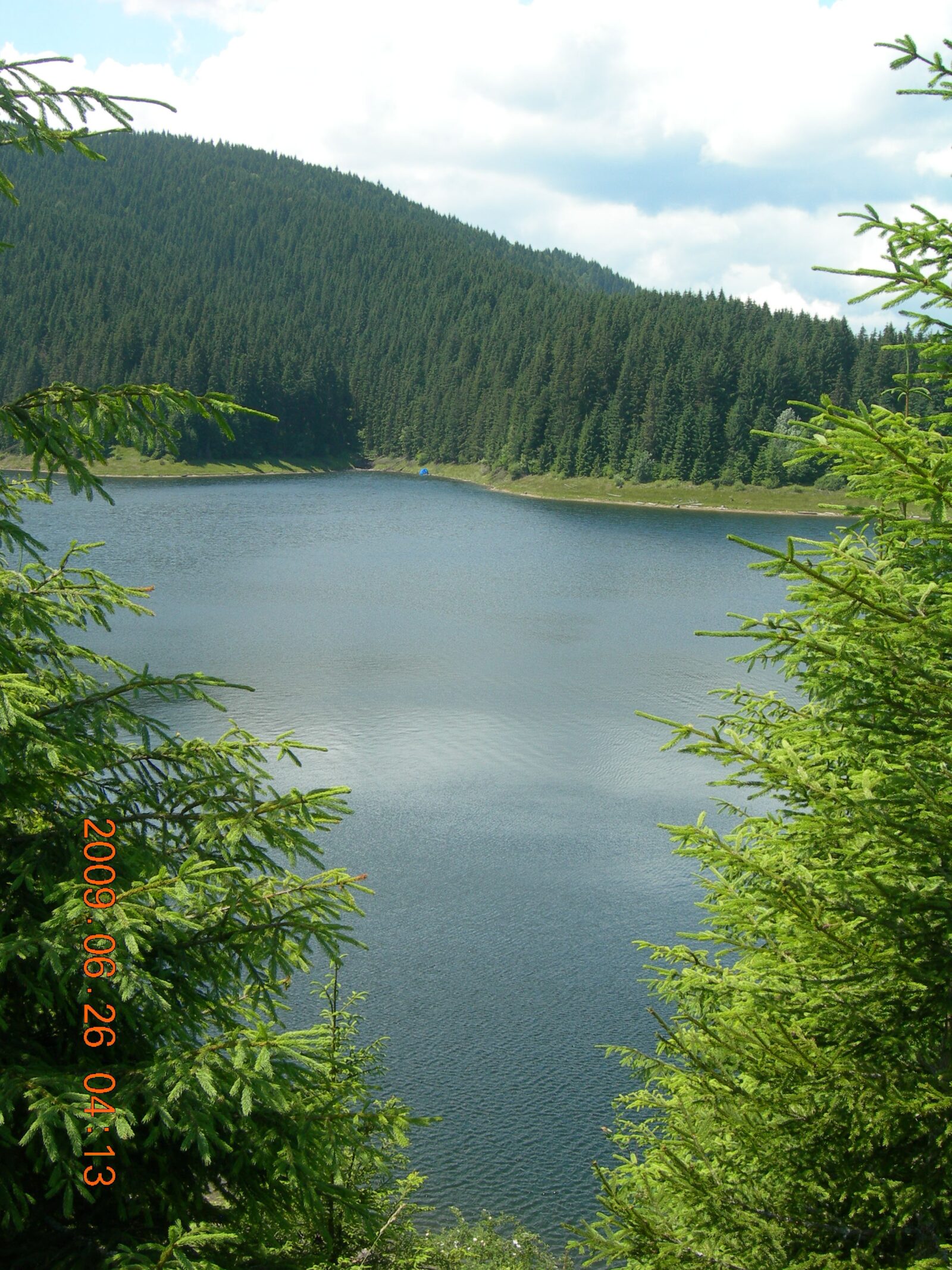
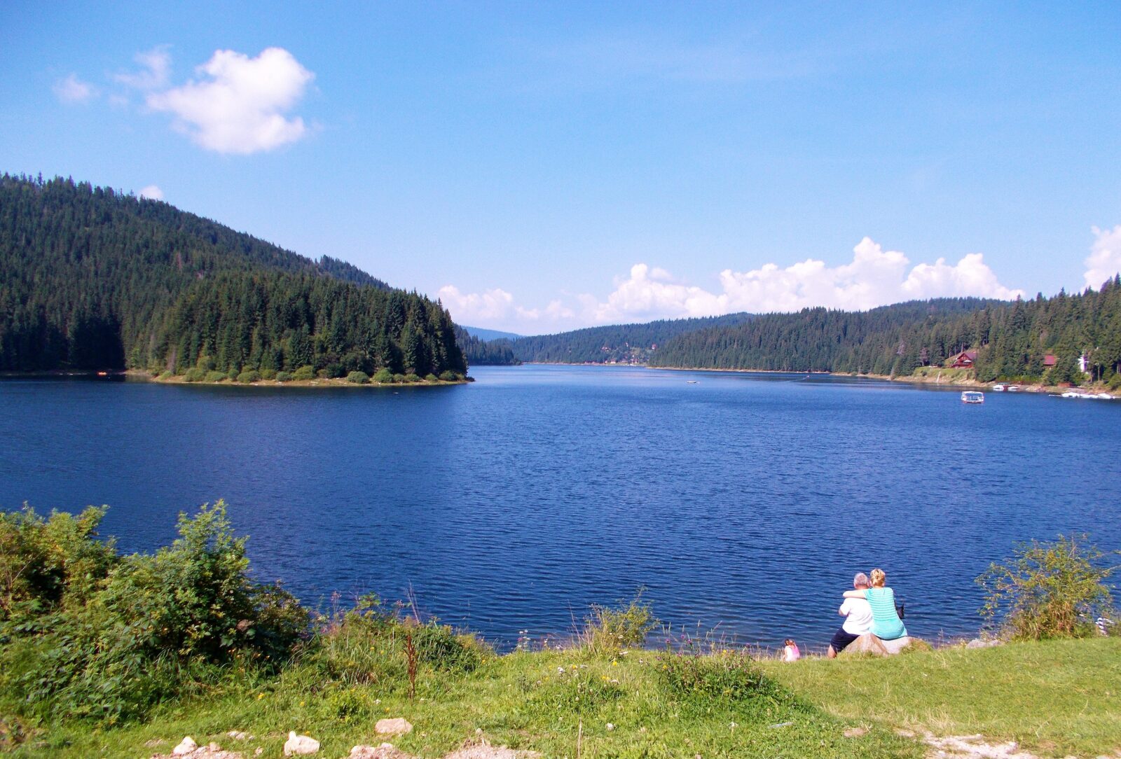
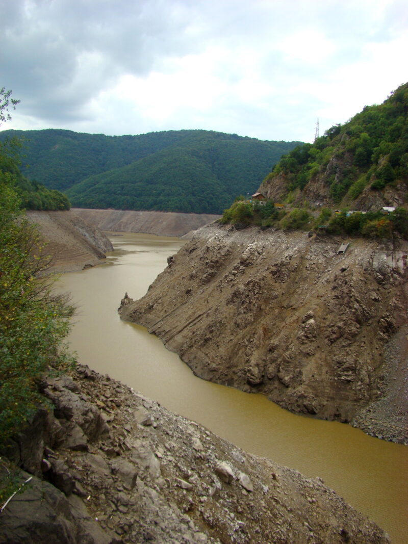
Beliș-Fântânele is an artificial reservoir in the Gilău Mountains, in Cluj County, built between 1970 and 1974 for hydropower on the Someșul Cald. It lies in the north of the Apuseni Mountains, where the Gilău Mountains meet the Vlădeasa Mountains to the west and Muntele Mare to the south, and the resort of Beliș-Fântânele stands on its shore. The people of the old commune of Beliș had to move to the present site of the village, and hamlets such as Milioan, Pleș, Dădești, Bolojești and Giurcuța de Jos now exist only in memory. In very dry summers, when the water level drops far, the ruins of the houses can be seen, the most famous being those of the former church of Giurcuța de Jos.
How it formed
The dam is 95.5 m high and 400 m long at the crest. The lake, at about 990 m, covers about 9.8 km² and runs for about 13 km, with water over 100 m deep near the dam.
Gallery
Visit
Swimming
No reliable information
Tips
Beliș-Fântânele lies in the Gilău mountains about 90 minutes’ drive from Cluj-Napoca, with hiking, mountain biking and good panoramas over the lake, and in winter the area gives access to the Mărișel ski resort. The lake is known for salmonids, graylings and trout; check the rules and any licence before fishing.
The lake’s environmental permit prohibits motorboats, though electric motors have been allowed, so check the current navigation rules. The level changes a great deal, and the church of Giurcuța de Jos shows only at low water. Bears roam the area, so watch your food and catch.
Nearby lakes
Show on mapPhoto: Țetcu Mircea Rareș · CC BY-SA 4.0
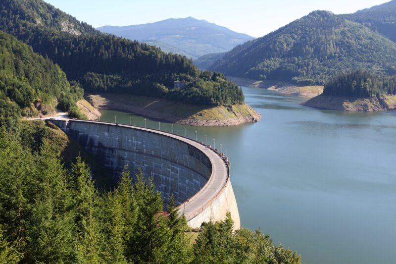 Photo: Philippe Teuwen from Belgium · CC BY-SA 2.0

Know Lake Beliș-Fântânele well?
Suggest a beach, viewpoint, trail or amenity, or tell us if something has changed. We read every message.
Sources & data
- Romania's 2022 Water Framework Directive reporting to the EEA: lake (LW) and transitional (TW) water bodies, field cArea, European Environment Agency (WISE WFD), reported by Romania, 2022
- OpenStreetMap: Lacul de acumulare Beliș-Fântânele (relation 9062865), OpenStreetMap contributors
- Romanian Wikipedia: Barajul Fântânele, Wikimedia Foundation
- Lacul Beliș a secat în parte: istoria bisericii din adâncuri, BZI
- Județul poate face din nou lacurile Tarnița și Beliș navigabile, Actual de Cluj
- Motorised boats have no place on Tarnița and Fântânele (2019), Actual de Cluj