
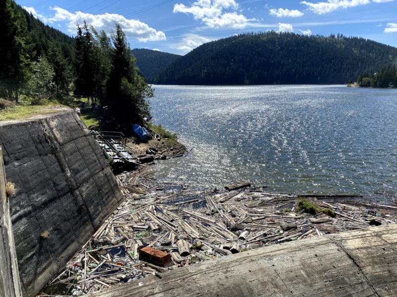
 Photo: Ciuca Valeriu · CC BY-SA 4.0
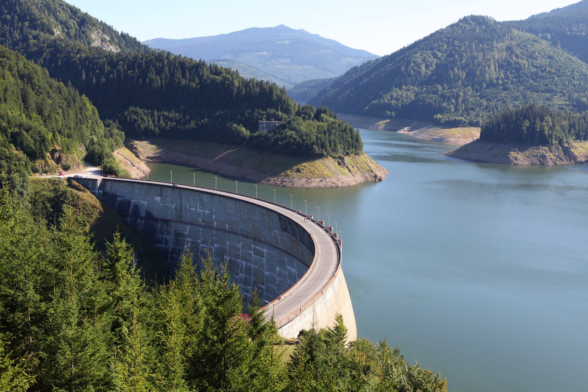
Photo: Philippe Teuwen from Belgium · CC BY-SA 2.0
A reservoir in the Apuseni Mountains, in the valley of the Drăgan river, also called Floroiu.
How it formed
The dam, finished in 1987, is a concrete arch about 120 m high and 424 m long, holding back the Drăgan and Sebeșel just below where they meet. The lake stores about 292 million m³ for electricity generation.
Visit
Swimming
No reliable information
Tips
The lake lies in Cluj County, about 100 km from Cluj-Napoca. It suits camping, hiking and birdwatching, and anglers come too, but fishing is regulated, so check the rules and get a permit first. A cycling loop of about 29 km goes over the dam and follows the shore, with about 1,150 m of climbing.
From the tourist lodge in the Drăgan valley, a marked trail climbs to the Vlădeasa lodge: about 12 km and 4–4.5 hours, with about 1,000 m of climbing. Trail marks may change, so bring a current map.
Nearby lakes
Show on mapPhoto: Ciuca Valeriu · CC BY-SA 4.0
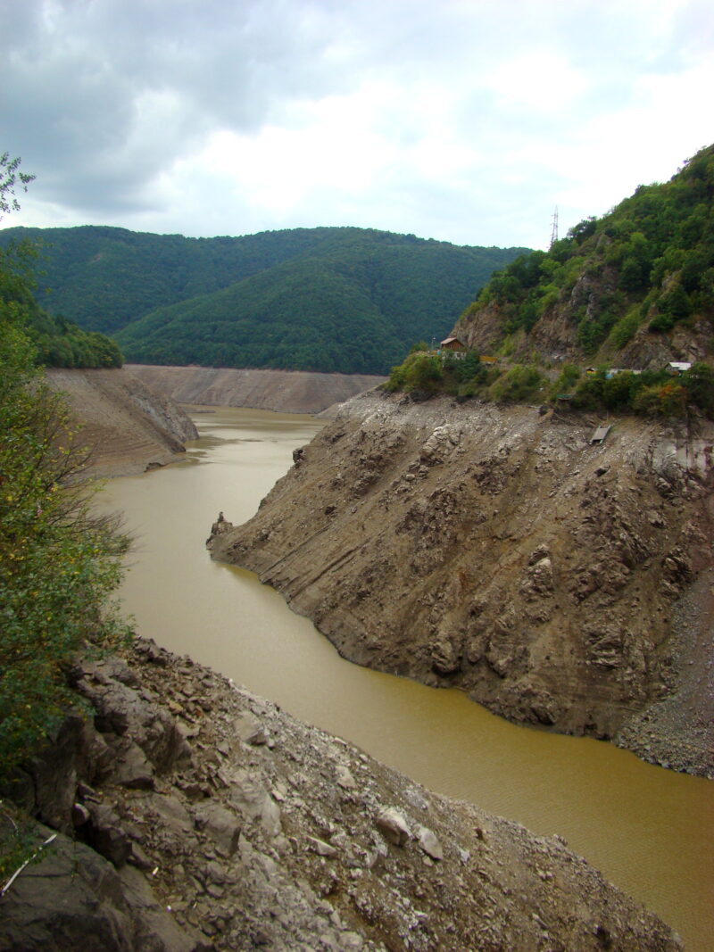 Photo: Țetcu Mircea Rareș · CC BY-SA 4.0

Know Lake Drăgan well?
Suggest a beach, viewpoint, trail or amenity, or tell us if something has changed. We read every message.
Sources & data
- Romania's 2022 Water Framework Directive reporting to the EEA: lake (LW) and transitional (TW) water bodies, field cArea, European Environment Agency (WISE WFD), reported by Romania, 2022
- OpenStreetMap: Lacul de acumulare Floroiu (way 336610708), OpenStreetMap contributors
- Lake Drăgan, TrekHunt
- Drăgan–Vlădeasa trail, Welcome to Romania
- Lacul Drăgan – Vf. Vlădeasa – Pietrele Albe, Munții Noștri