
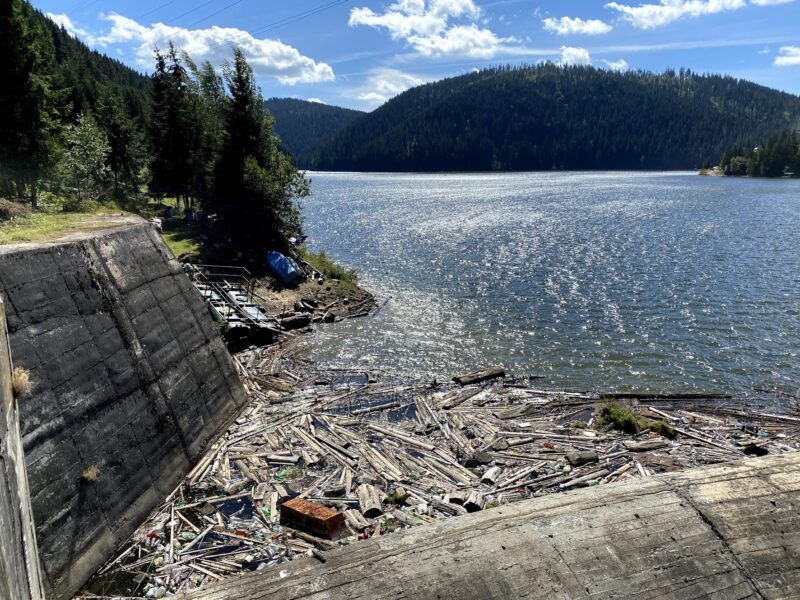
 Photo: Ciuca Valeriu · CC BY-SA 4.0
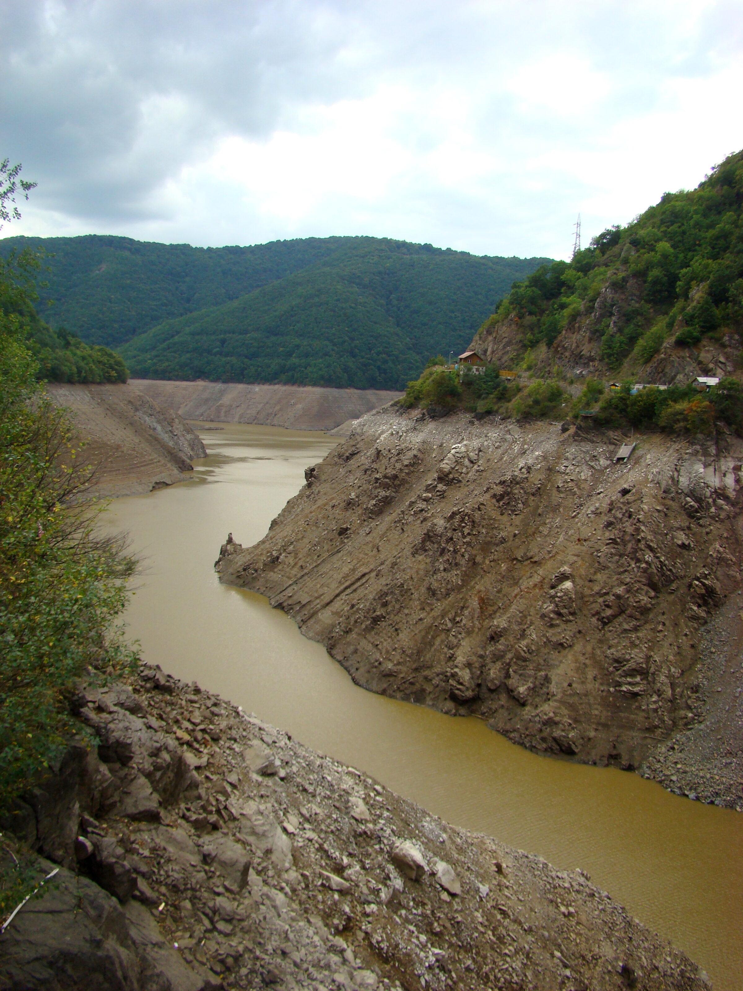
Photo: Țetcu Mircea Rareș · CC BY-SA 4.0
Lake Tarnița is a reservoir of about 2.15 km² on the Someșul Cald in Cluj County, between the communes of Râșca, Mărișel and Gilău, west of Cluj-Napoca. It lies at about 620 m and is nearly 9 km long and over 70 m deep.
How it formed
Its dam, 97 m high, was completed in 1974. As well as producing electricity, the lake supplies drinking water to Cluj-Napoca and the surrounding area.
Visit
Swimming
No reliable information
Tips
Tarnița is a popular outing, about 30 km from Cluj-Napoca. Anglers come for trout, and competitions are held here at times. Because it is a drinking-water source, the Water Ministry said in 2019 that motorboats, jet skis and motorised pontoons cannot be used, so check the current rules before bringing a boat.
Nearby lakes
Show on mapPhoto: Ciuca Valeriu · CC BY-SA 4.0
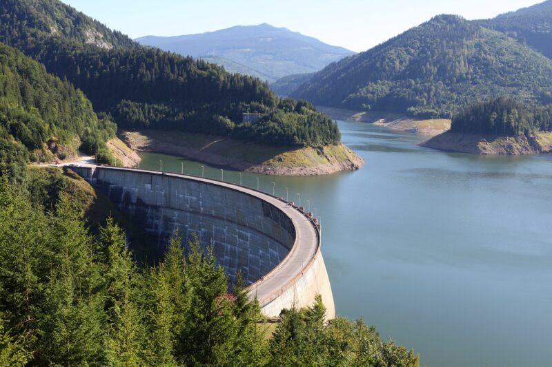 Photo: Philippe Teuwen from Belgium · CC BY-SA 2.0

Know Lake Tarnița well?
Suggest a beach, viewpoint, trail or amenity, or tell us if something has changed. We read every message.
Sources & data
- Romania's 2022 Water Framework Directive reporting to the EEA: lake (LW) and transitional (TW) water bodies, field cArea, European Environment Agency (WISE WFD), reported by Romania, 2022
- OpenStreetMap: Lacul de acumulare Tarnița (relation 9062864), OpenStreetMap contributors
- Wikipedia: Lake Tarnița, Wikimedia Foundation
- Motorised boats have no place on Tarnița and Fântânele (2019), Actual de Cluj
- Tarnița Lake, TagMyFish