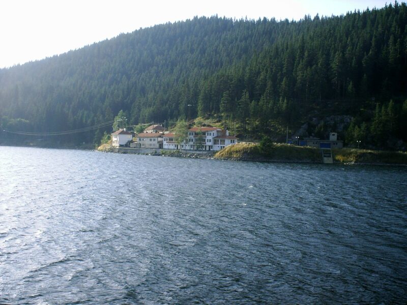
 Photo: Chech Explorer · CC BY-SA 3.0
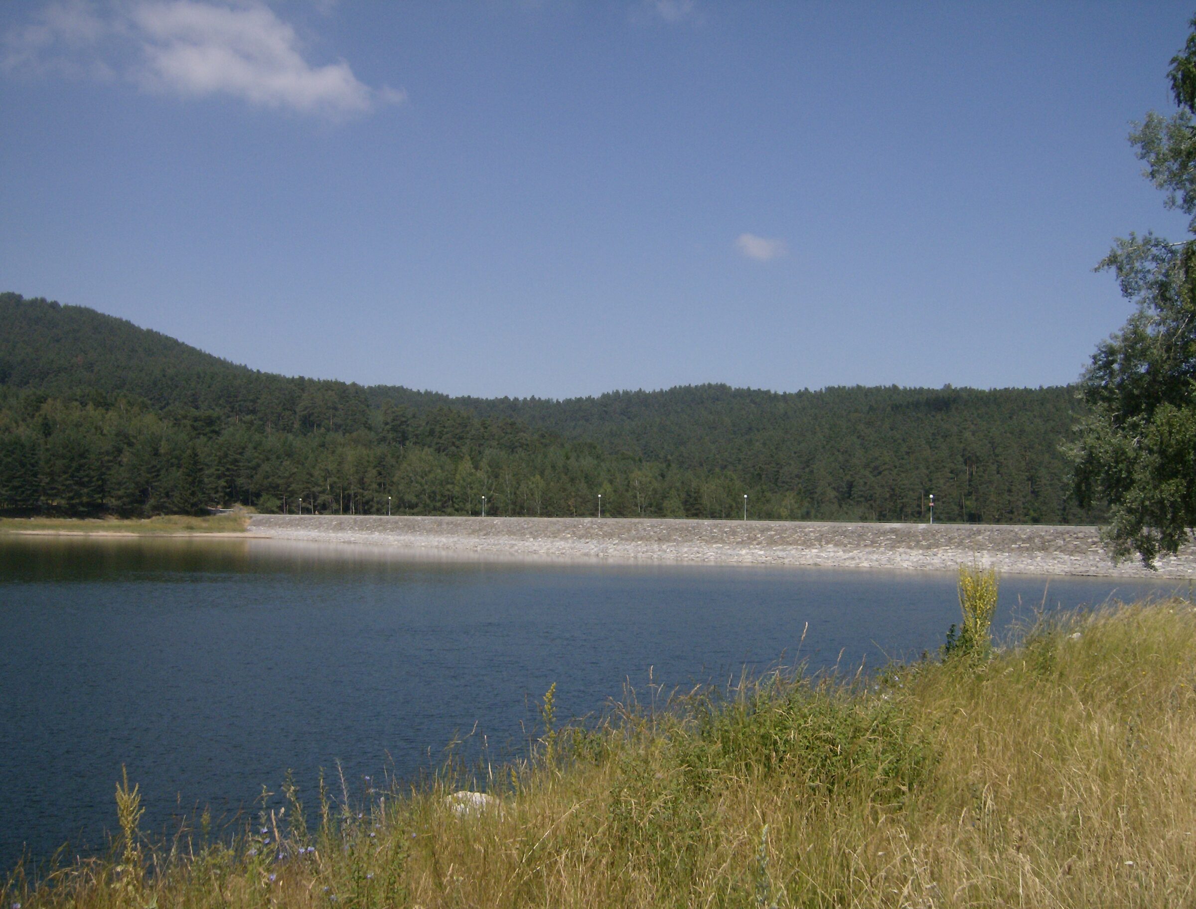
Photo: Izvora · Public domain
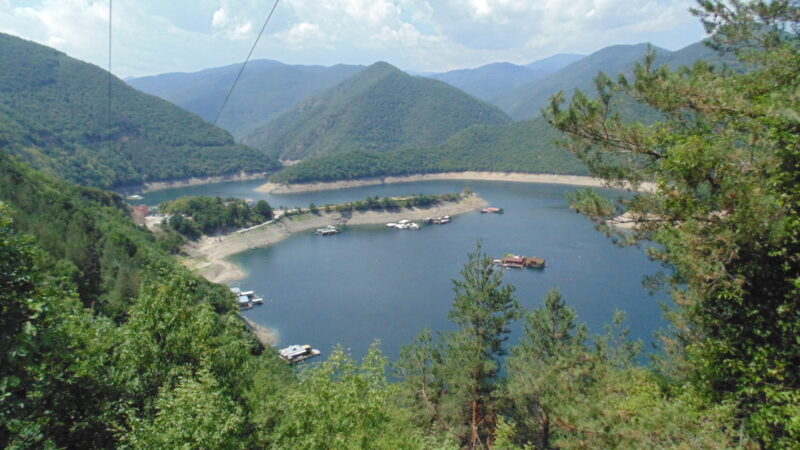
Batak Reservoir is one of the largest reservoirs in Bulgaria, set in the Rhodope Mountains west of the town of Batak. It was built for electricity and irrigation as the main part of the Batak Hydropower Cascade, and its scenery and fish have made it a destination for tourists and anglers. The resort of Tsigov Chark stands on its south-western shore.
How it formed
The reservoir was built between 1954 and 1959 and has two dams: a main earthen dam in the northernmost part of the lake and a counter dam in its western part. It is the main facility of the second level of the Batak Hydropower Cascade, and it is the source of the Matnitsa river, which flows into the Maritsa basin.
History
It was built in the 1950s as part of the cascade. The idea goes back to the engineer Ivan Mavrov, who began surveying the water sources of the Western and Central Rhodopes in 1920. In 1947 the ministry responsible held a competition on using the waters of Rila and the Rhodopes for power and irrigation, design started in 1949, and the technical project was drawn up in 1951–1955.
An enterprise set up for the job under Hidrostroy did the building, with Angel Petarchev as director and Ivan Maslenkov as chief engineer. The underground Batak power station started on 1 January 1958, and the whole cascade, one of the first in Bulgaria, opened on 6 September 1959, with 165 km of collecting canals and tunnels. The lake soon became a place to relax too, with a holiday station for miners on its shore.
Nature
The reservoir is rich in fish, which is one reason it attracts anglers, and it lies in a scenic mountain region.
Gallery
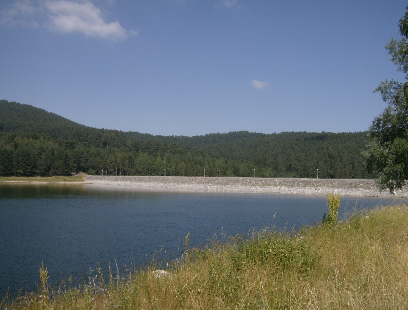 Photo: Izvora · Public domain
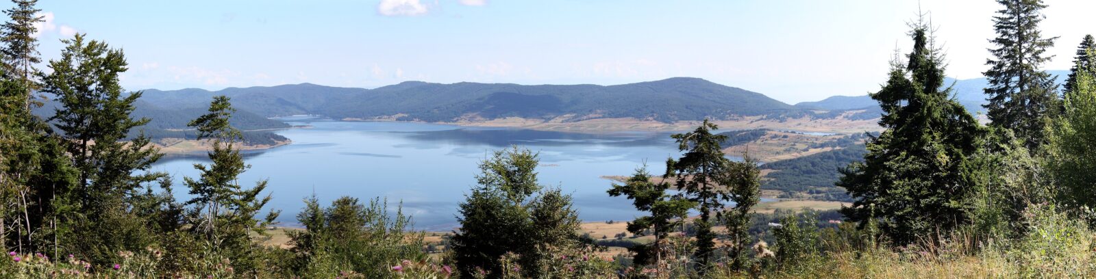 Photo: Reneman · CC BY-SA 4.0
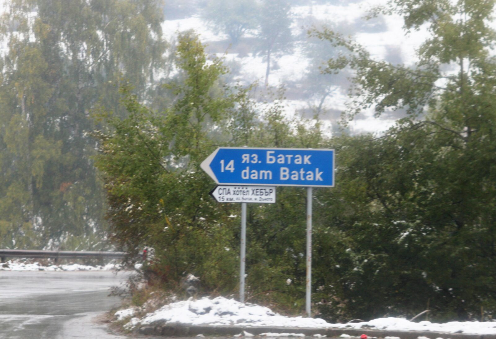 Photo: Bin im Garten · CC BY-SA 3.0
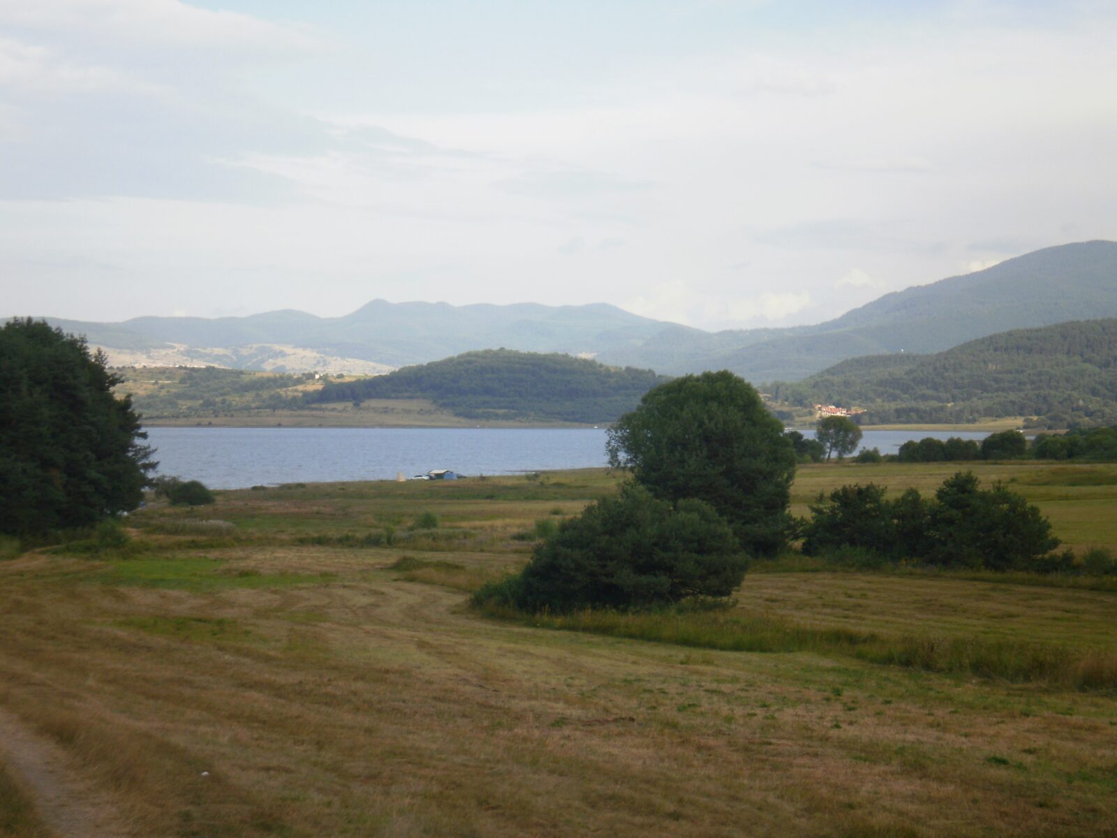 Photo: Спасимир · CC BY-SA 3.0
Visit
Getting there
Nearest settlement: Batak
Swimming
No reliable information
Tips
The resort of Tsigov Chark, on the south-western shore, offers year-round activities, including a ski track, hiking trails, fishing and water sports such as boating and jet skiing. Danoto, in the northern part near the dam, is a smaller and quieter rest area. The main road to the reservoir comes from the east through the town of Batak, and a road along the southern shore continues west to Tsigov Chark and then to Rakitovo and Velingrad.
The Sea of the Rhodopes
At about 1,100 m, the reservoir is nicknamed the "Sea of the Rhodopes", and a panoramic viewpoint over it shows the peaks Golyama Syutkya and Batashki Snezhnik and the small island of Golaka. A road loop around the lake is about 40 km. It is roughly 75 km from Plovdiv and 150 km from Sofia, via the Trakia motorway and Peshtera. Some reviewers find Tsigov Chark noisy and run-down, so check recent feedback, and consider Batak, Velingrad or Peshtera as bases.
Nearby
The Devil's Throat cave and the Yagodina cave are within reach, and so is the museum in Velingrad.
Nearby lakes
Show on map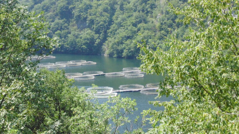


Know Batak Reservoir well?
Suggest a beach, viewpoint, trail or amenity, or tell us if something has changed. We read every message.
Sources & data
- Bulgaria's 2022 Water Framework Directive reporting to the EEA: lake (LW) and transitional (TW) water bodies, field cArea, European Environment Agency (WISE WFD), reported by Bulgaria, 2022
- OpenStreetMap: яз. Батак (relation 2764192), OpenStreetMap contributors
- Wikidata: Batak Reservoir (Q4868539), Wikimedia Foundation
- English Wikipedia: Batak Reservoir, Wikimedia Foundation
- Batak dam, Bulgaria Guide
- Каскада Баташки водносилов път, BTA
- Язовир „Батак“: почивна станция на миньорите, BTA