 Photo: Izvora · CC BY-SA 4.0
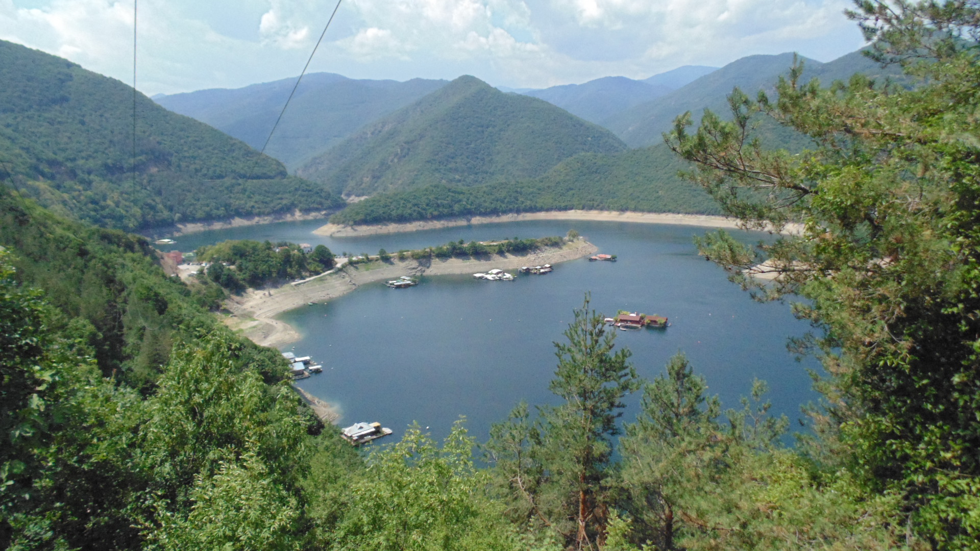
Photo: Izvora · CC BY-SA 4.0
The Vacha reservoir lies in the Rhodopes where Smolyan, Pazardzhik and Plovdiv provinces meet, about 12 km south of Krichim, and runs about 15 km up the narrow valley to Mihalkovo. Before 1999 it was called Antonivanovtsi, after the partisans of the Anton Ivanov detachment who died here in early 1944.
How it formed
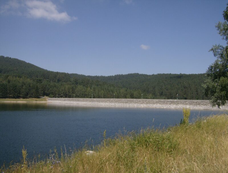
Built between 1968 and 1975, its concrete gravity dam is 144.5 m high and 420 m long, the tallest dam in Bulgaria. It is the second-largest reservoir of the Dospat–Vacha cascade, taking the water released from the Devin power plant.
History
A memorial to the partisans stands on the shore about 1 km west of the dam.
Visit
Swimming
No reliable information
Tips
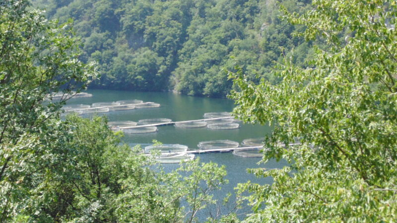
The Krichim–Devin road runs along the lake, with benches and tables on the banks and rest stations and hotels on the shores. Many pontoons with houses are moored on the water, and some are rented out in summer, with water bikes, boats and jet skis nearby.
This is a well-known fishing water, with carp, grass carp, bream, pike-perch, catfish and pike among the many species. For a view, go to Bekovi Skali or Sveti Ilia peak. Summer is the main season, and the scenery makes autumn worthwhile too.
Nearby lakes
Show on map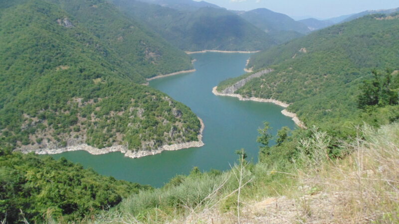


Know Vacha Reservoir well?
Suggest a beach, viewpoint, trail or amenity, or tell us if something has changed. We read every message.
Sources & data
- Bulgaria's 2022 Water Framework Directive reporting to the EEA: lake (LW) and transitional (TW) water bodies, field cArea, European Environment Agency (WISE WFD), reported by Bulgaria, 2022
- OpenStreetMap: язовир Въча (relation 3746852), OpenStreetMap contributors
- Wikidata: Vacha Reservoir (Q909248), Wikimedia Foundation
- English Wikipedia: Vacha Reservoir, Wikimedia Foundation
- Bulgarian Wikipedia: Въча (язовир), Wikimedia Foundation
- Vacha dam in summer, Photo Moments