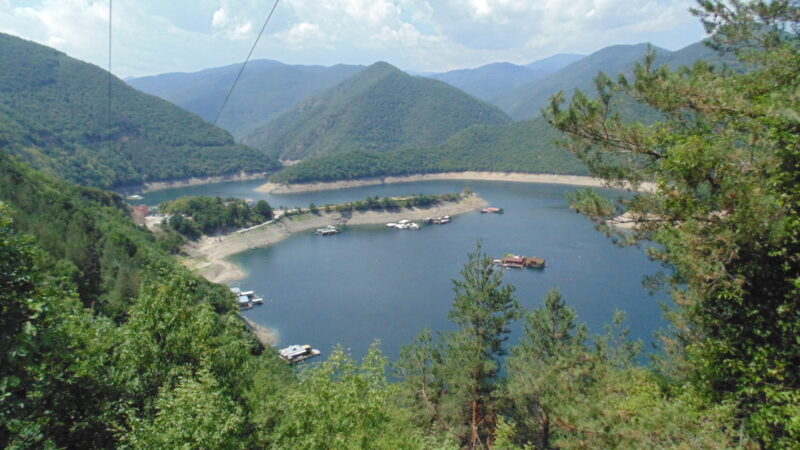
 Photo: Izvora · CC BY-SA 4.0
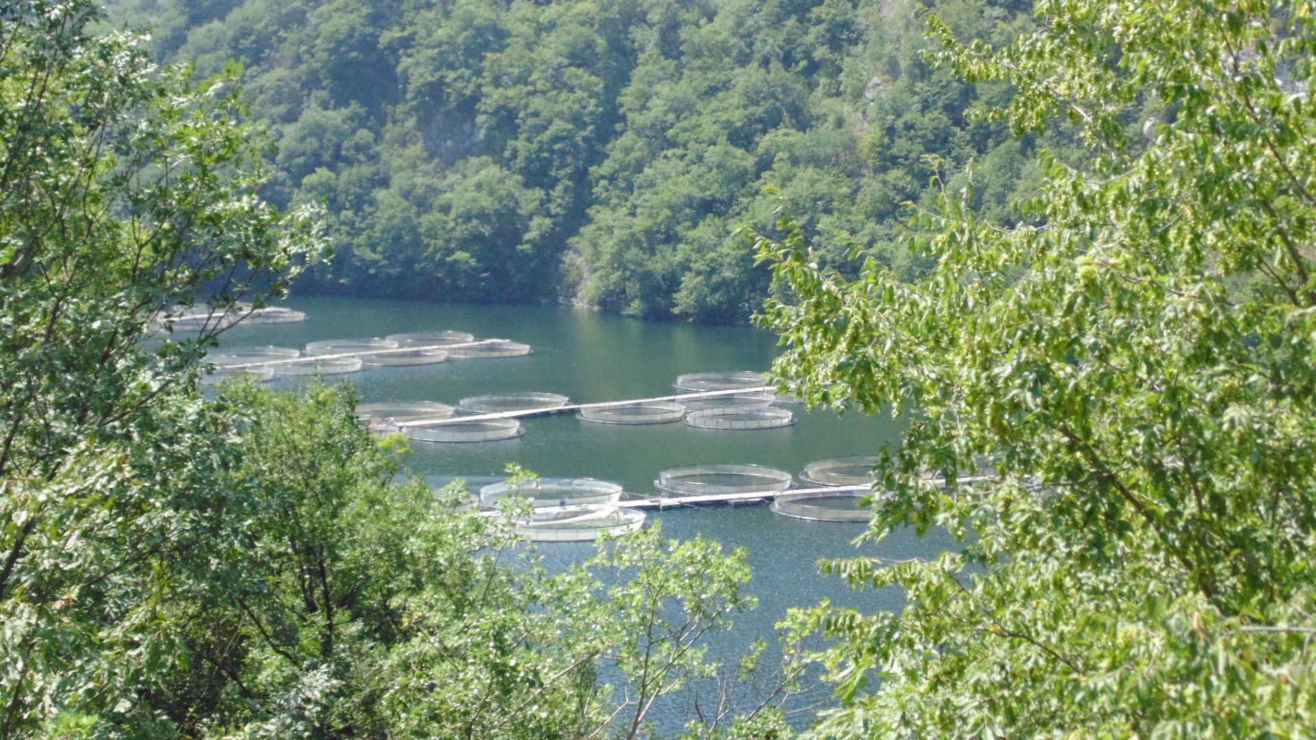
Photo: Izvora · CC BY-SA 4.0
The Krichim reservoir fills about 4 km of the narrow Vacha valley in the northern Rhodopes, on the lands of the town of Krichim and the villages of Ravnogor and Zhrebichko, at about 418 m. It covers less than a square kilometre.
How it formed
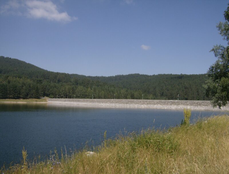
Built between 1963 and 1972, it is the last step of the Dospat–Vacha cascade, with a concrete dam 104.5 m high. Water reaches it from the Vacha reservoir above, through the Orfey power plant, and from the Churska river by a diversion. It leaves by two pipelines, for power, irrigation and drinking water.
Visit
Swimming
No reliable information
Tips
Anglers know the lake for Balkan and rainbow trout, pike-perch, chub, roach, asp, carp and pike. The Vacha enters it through a narrow gorge. Ask in Krichim about access to the shore.
Nearby lakes
Show on map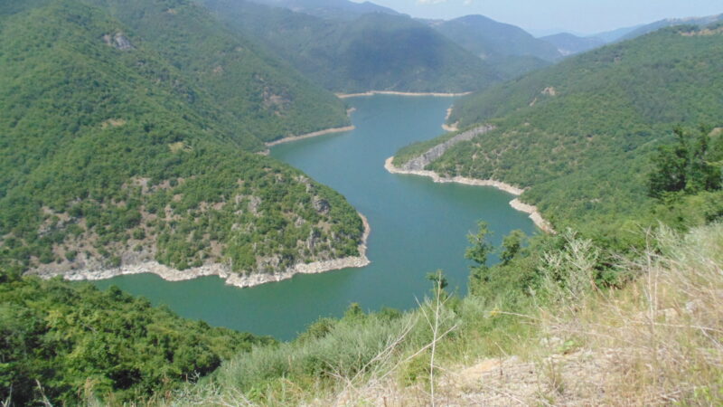


Know Krichim Reservoir well?
Suggest a beach, viewpoint, trail or amenity, or tell us if something has changed. We read every message.
Sources & data
- Bulgaria's 2022 Water Framework Directive reporting to the EEA: lake (LW) and transitional (TW) water bodies, field cArea, European Environment Agency (WISE WFD), reported by Bulgaria, 2022
- OpenStreetMap: яз. Кричим (relation 18393303), OpenStreetMap contributors
- Wikidata: Krichim Reservoir (Q106240584), Wikimedia Foundation
- Bulgarian Wikipedia: Кричим (язовир), Wikimedia Foundation