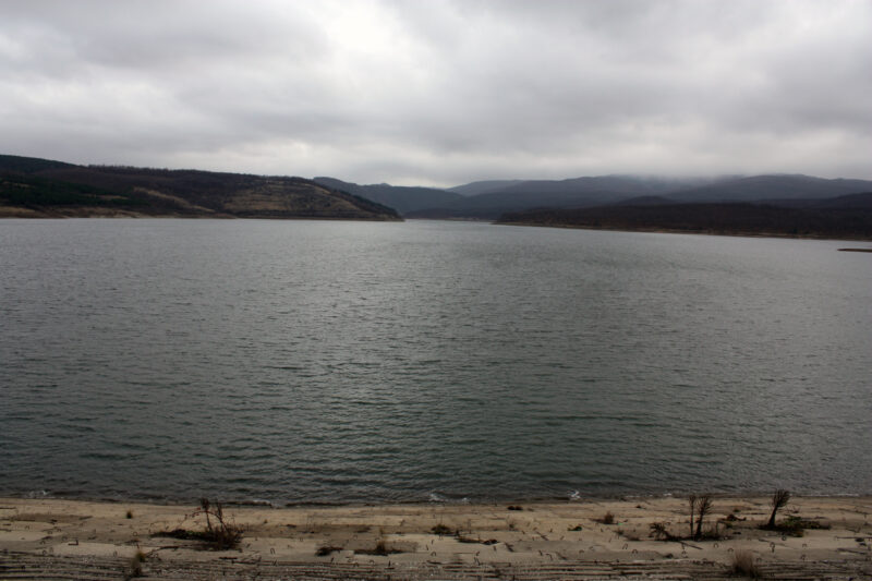
 Photo: Edal Anton Lefterov · CC BY-SA 3.0
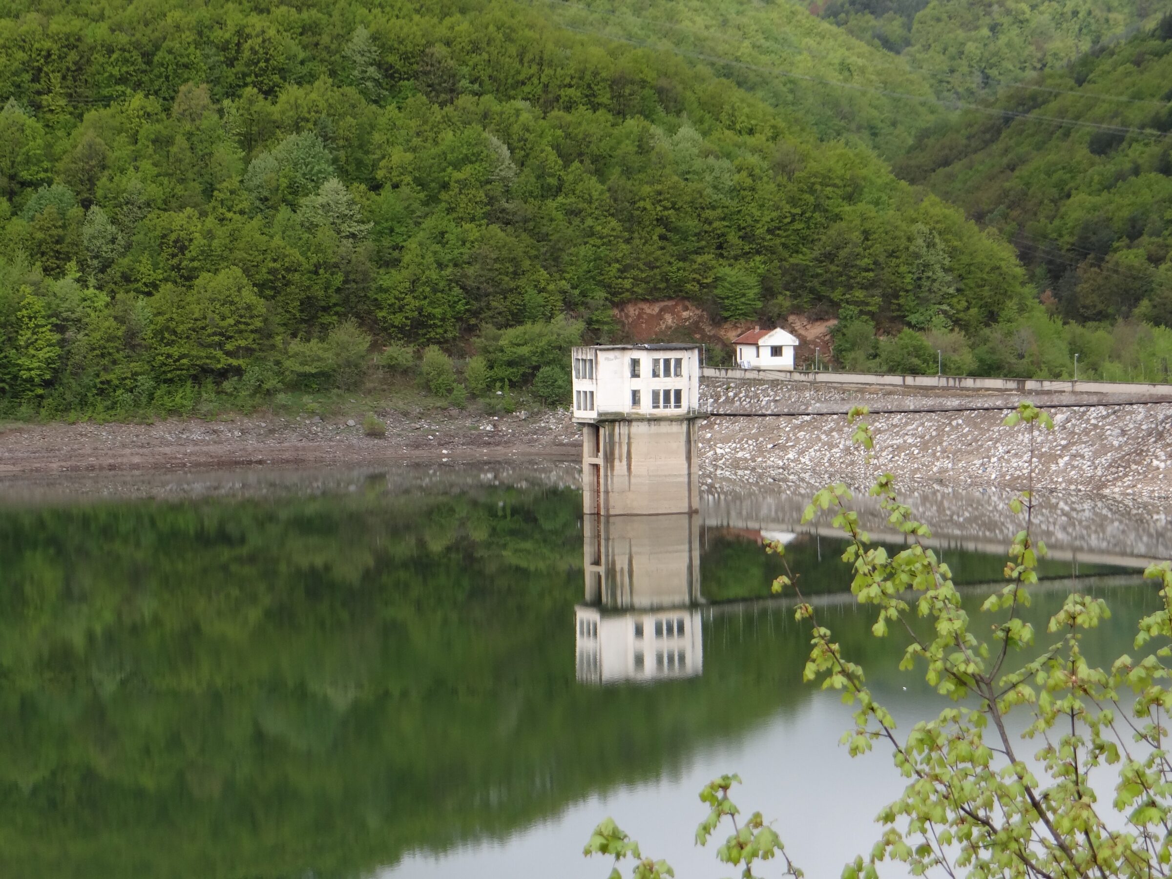
Photo: Loquita desita · CC BY-SA 4.0
The Bebresh reservoir lies in the Balkan range in Botevgrad municipality, on the Bebresh river, about 3 km upstream of the village of Vrachesh. It holds about 15 million m³ of water.
How it formed
Completed in 1987 to irrigate farmland, it now supplies industrial and treated drinking water to Botevgrad and the Botevgrad valley. Its dam of rammed clay is 48 m high and 408 m long, with a water tower of 53 m beside it.
Visit
Swimming
No reliable information
Tips
Anglers come for native river fish such as barbel, chub, bleak and gudgeon. As this is a drinking-water source, ask in Botevgrad or Vrachesh about access and fishing rules. Nearby, the Skravena and Transfiguration monasteries, both founded in the 12th–14th centuries, stand near the river, and the high Bebresh viaduct of the Hemus motorway crosses the valley.
Nearby lakes
Show on mapPhoto: Edal Anton Lefterov · CC BY-SA 3.0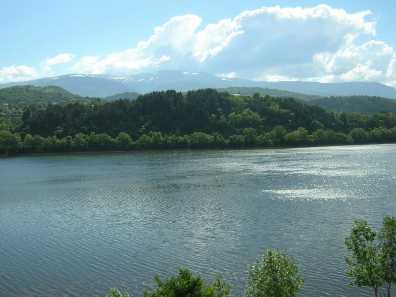


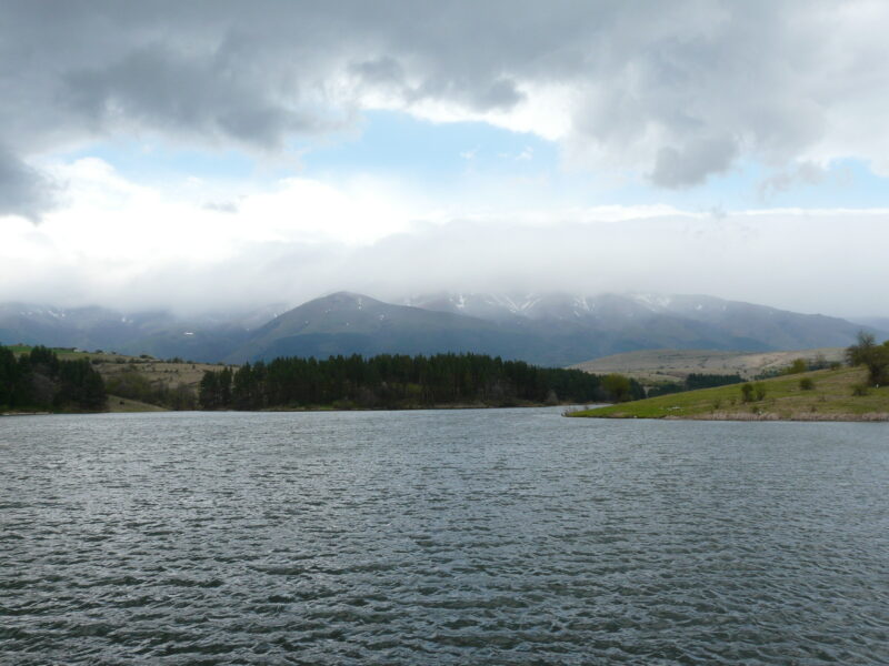 Photo: Georgi Hristozov · CC BY-SA 3.0

Know Bebresh Reservoir well?
Suggest a beach, viewpoint, trail or amenity, or tell us if something has changed. We read every message.
Sources & data
- Bulgaria's 2022 Water Framework Directive reporting to the EEA: lake (LW) and transitional (TW) water bodies, field cArea, European Environment Agency (WISE WFD), reported by Bulgaria, 2022
- OpenStreetMap: Язовир Бебреш (relation 18452299), OpenStreetMap contributors
- Wikidata: Bebresh Dam (Q52503687), Wikimedia Foundation
- Bulgarian Wikipedia: Бебреш (язовир), Wikimedia Foundation
- Wikipedia: Bebresh, Wikimedia Foundation