

Bosnia and Herzegovina · Herzegovina
Goričko jezero
Reservoir · artificial
~12 kmaway
296 metreselevation
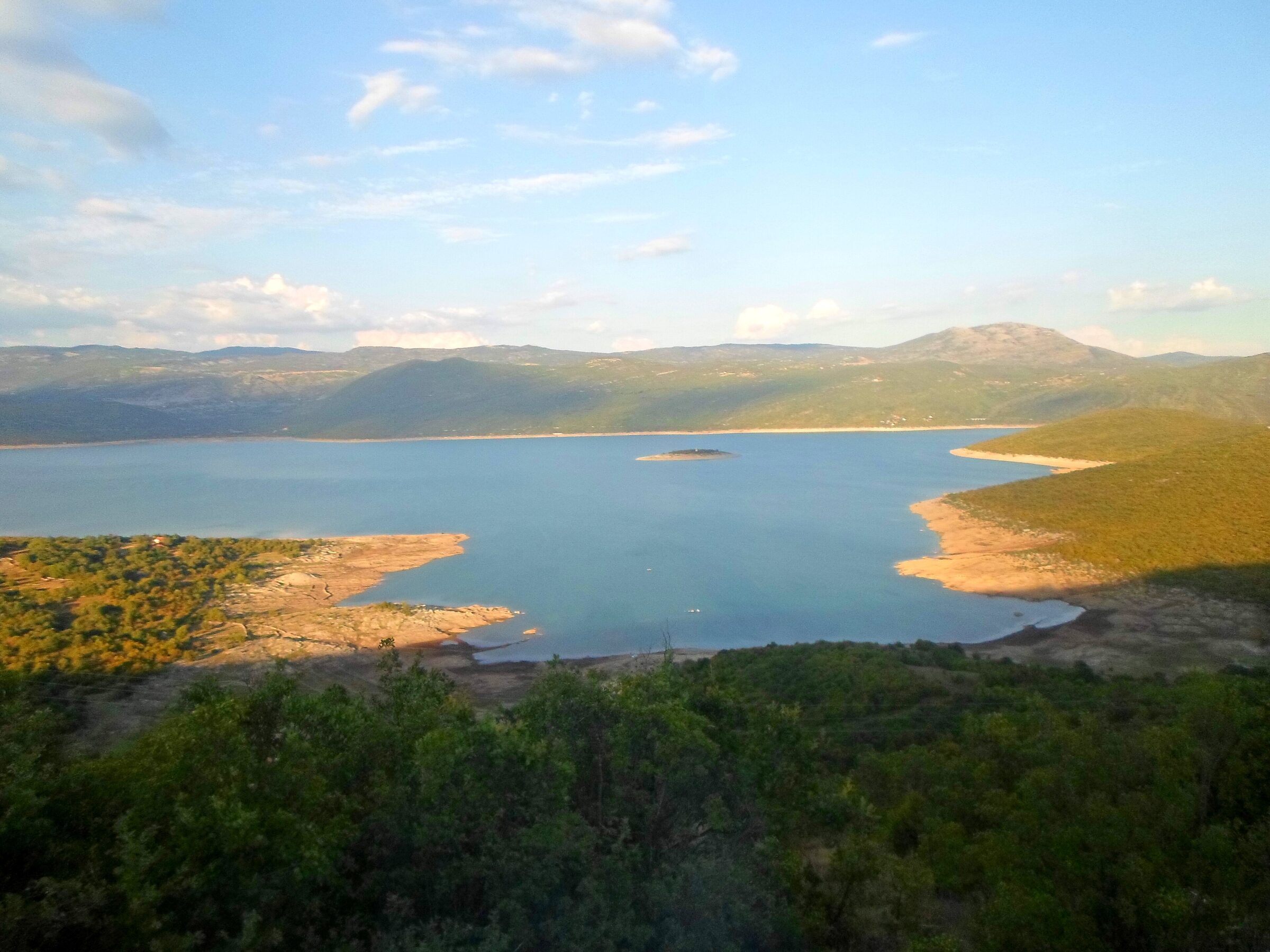
Photo: Egzoftalmus · CC BY-SA 4.0
Bosnia and Herzegovina (Herzegovina) · Montenegro (Central Montenegro)
Bilećko jezero · Билећко језеро
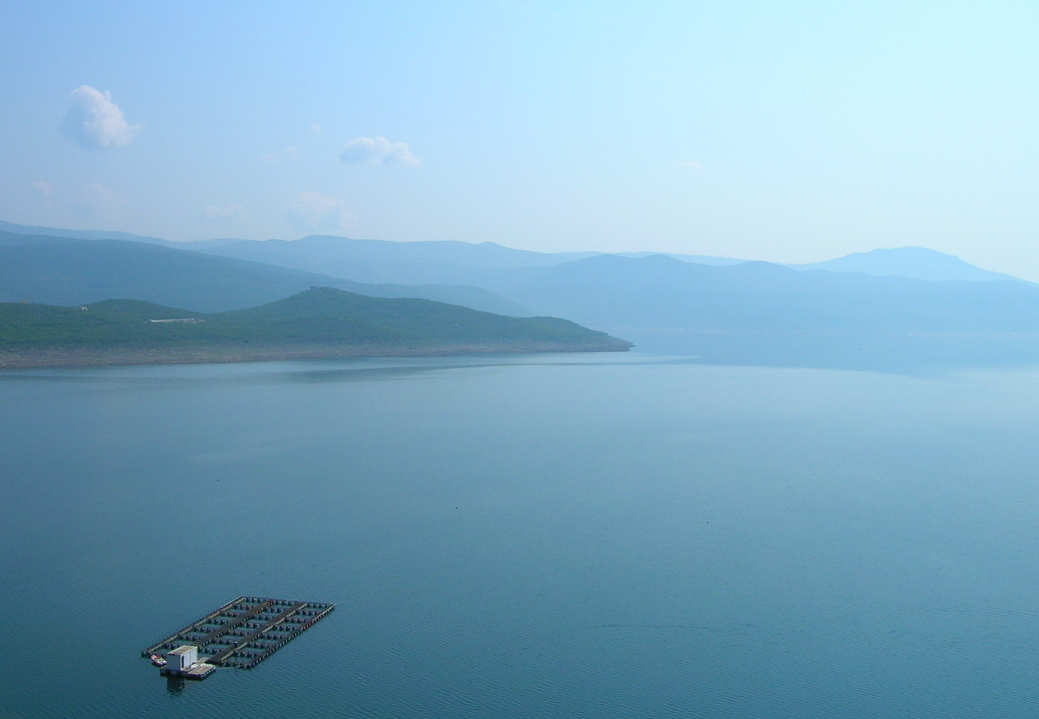
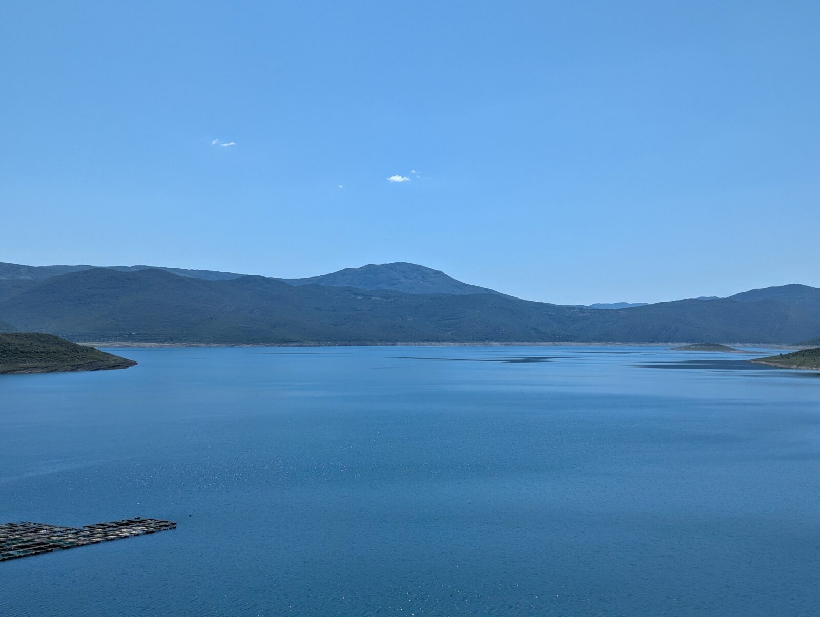
Bileća Lake is a large reservoir on the Trebišnjica River, created in 1968 when the Grančarevo arch dam closed the valley. Most of it lies in Bosnia and Herzegovina, in the municipality of Bileća, but its length forms part of the border, so a small part lies in Montenegro. The whole lake covers about 27 km² at an elevation of 383 m, which makes it one of the largest lakes in Bosnia and Herzegovina. The surrounding district is limestone country with bare karst, and the lake is the only source of surface water in an area of hard winters and hot summers.
Before the valley filled, five villages were evacuated: Panik, Orah, Čepelica, Zadublje and Miruše. Their houses, farms, cemeteries and churches went under the water, along with the remains of Leusinium, a settlement of Roman times. The 14th-century Kosijerevo monastery, on the Trebišnjica in Banjani, was moved in 1966 to Petrovići near Nikšić in Montenegro, and the 13th-century Dobrićevo monastery was taken down and rebuilt on the new shore near Orah. Divers still explore the drowned houses, roads and churches.
The lake is known for its big wels catfish, as well as zander and trout.
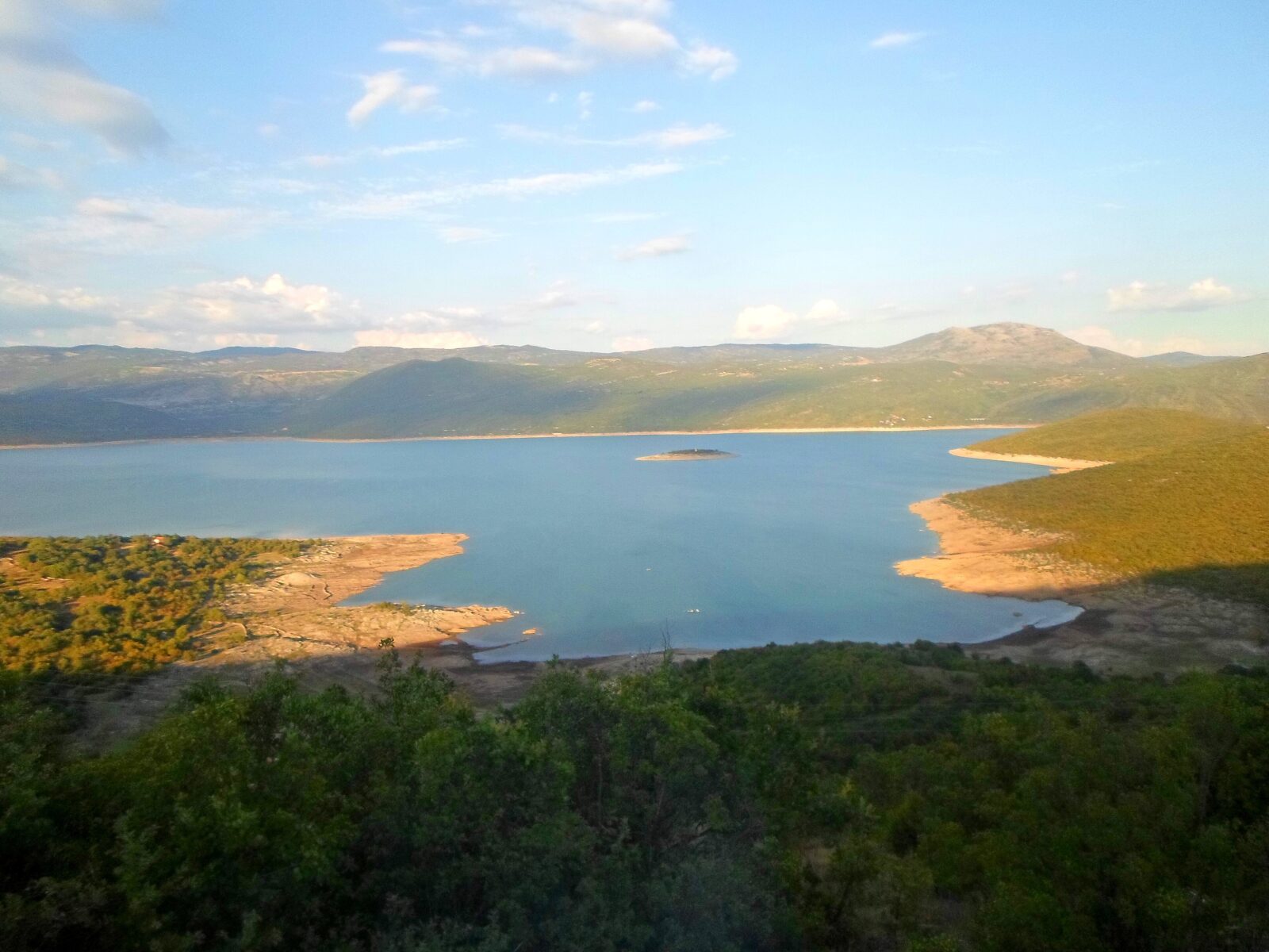 Photo: Egzoftalmus · CC BY-SA 4.0
No reliable information
Bileća Lake, a reservoir on the Trebišnjica about 17 km from Trebinje, has Čepelica, about 5 km from the town of Bileća, as its best-known swimming spot, with floating rafts that are popular for sunbathing and diving. Anglers have several options, from trolling to catfish fishing and lure fishing for zander and trout, and the lake hosts a catfish competition, the Somovijada, each summer.
Many shore access points are pebbly or grassy, so buy food, fuel and supplies in the town of Bileća first. Summer is the swimming season; for fishing licences, ask at the tourist organisation in Bileća.
Bosnia and Herzegovina · Herzegovina
Reservoir · artificial
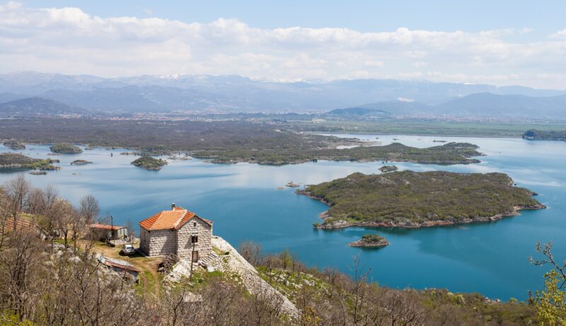 Photo: Diego Delso · CC BY-SA 3.0
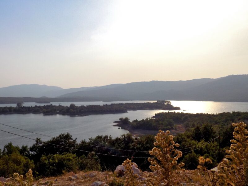 Photo: BuhaM · CC BY-SA 4.0
Suggest a beach, viewpoint, trail or amenity, or tell us if something has changed. We read every message.
Thank you. We read every suggestion.

