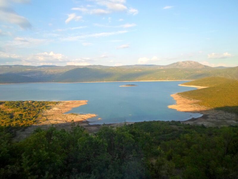
 Photo: Egzoftalmus · CC BY-SA 4.0

Bosnia and Herzegovina (Herzegovina) · Montenegro (Central Montenegro)
Bileća Lake
Reservoir · artificial
~12 kmaway
383 metreselevation
Bosnia and Herzegovina · Herzegovina
Горичко језеро · Trebinjsko jezero
A reservoir on the Trebišnjica a few kilometres above Trebinje, made by the Gorica dam for the Trebinje II power station. It is also known as Trebinjsko jezero.
The Gorica dam, opened in 1981, holds the lake back a few kilometres above Trebinje. It serves as a compensation basin, evening out each day’s flow from the Trebinje I plant upstream, and the small Trebinje II plant stands directly below the dam.
Nearest settlement: Trebinje
No reliable information
The lake is a short way upstream of Trebinje. Trout from the Trebišnjica are on the menu in Trebinje; ask locally about fishing and about access to the shore.
Photo: Egzoftalmus · CC BY-SA 4.0Bosnia and Herzegovina (Herzegovina) · Montenegro (Central Montenegro)
Reservoir · artificial
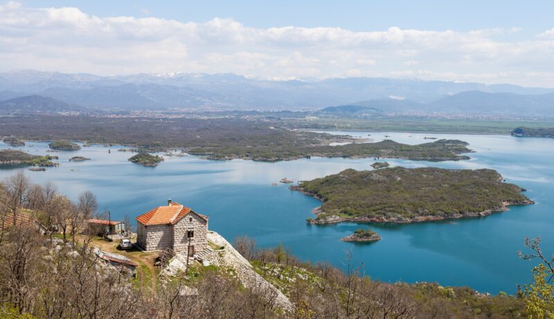 Photo: Diego Delso · CC BY-SA 3.0
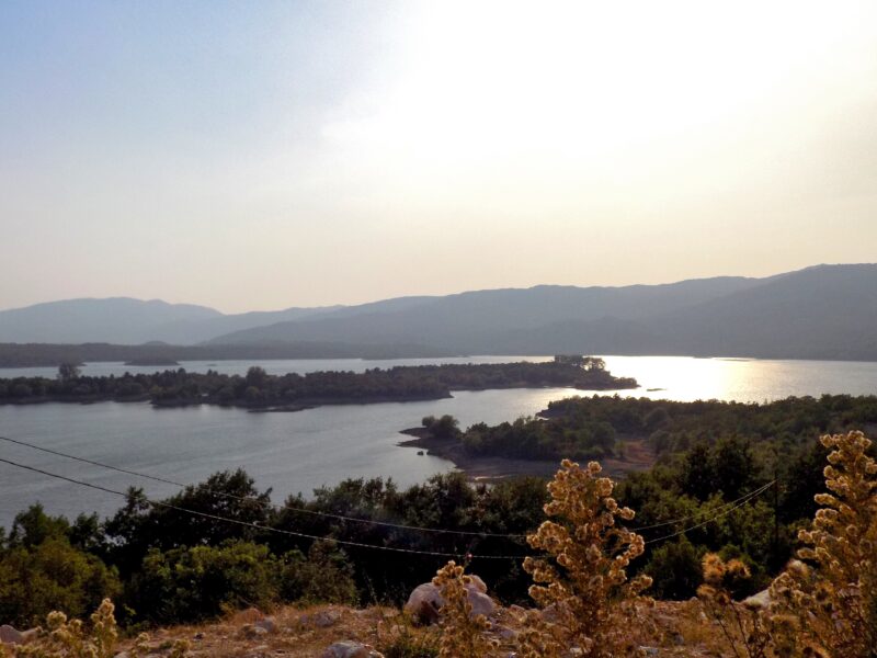 Photo: BuhaM · CC BY-SA 4.0
Suggest a beach, viewpoint, trail or amenity, or tell us if something has changed. We read every message.
Thank you. We read every suggestion.

