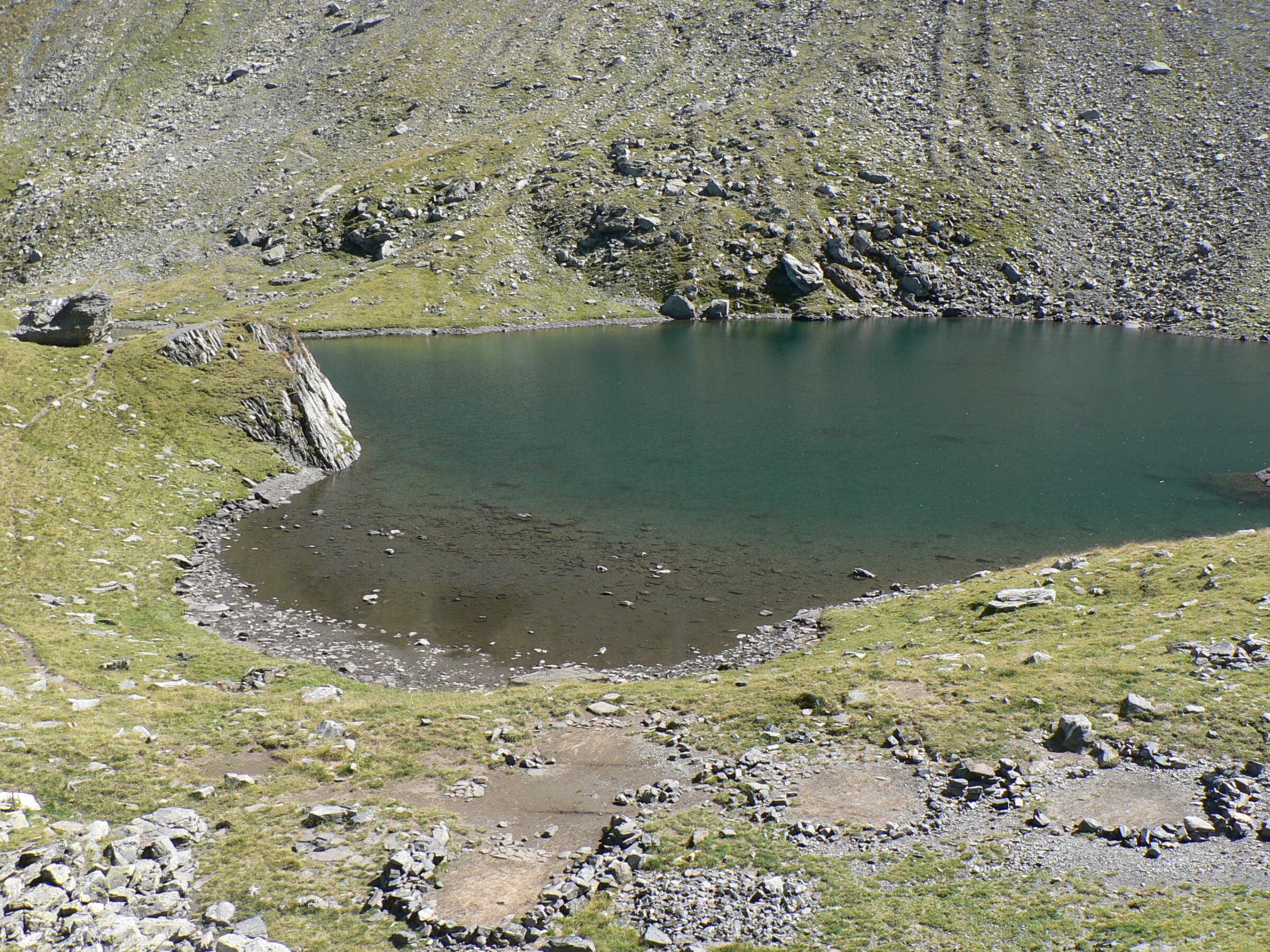
A glacial lake in the Făgăraș Mountains in the north-east corner of Vâlcea County.
How it formed
At 2,011 m, the lake is roughly trapezoidal, about 180 m long and 100 m wide, up to 4.5 m deep. It covers about 1.5 ha and is the source of the Avrig river.
History
Between 2005 and 2008, volunteers cleaned the routes around the lake and its shallows, carrying over a tonne of waste down to the valley in their backpacks.
Visit
Swimming
No reliable information
Tips
The lake lies about halfway between the Suru and Negoiu huts, in the Făgăraș Mountains. From Bârcaciu hut, a blue-dot trail climbs up the Râul Mare over a series of glacial steps, past small waterfalls and through boulders: about 4.5 km and 3.5–4 hours, with about 700 m of climbing and 200 m of descent.
A marked path leads on from the lake towards the Scara and Suru saddles. There are no cafés or shops at the lake, so bring what you need. The route is dangerous in winter.
Nearby lakes
Show on map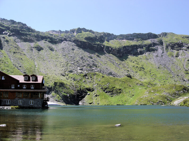
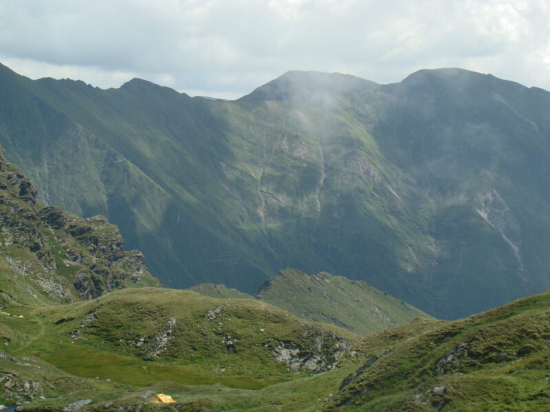
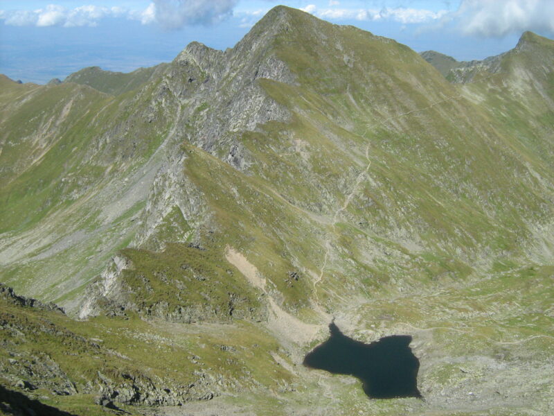


Know Lacul Avrig well?
Suggest a beach, viewpoint, trail or amenity, or tell us if something has changed. We read every message.
Sources & data
- English Wikipedia: Avrig Lake, Wikimedia Foundation
- OpenStreetMap: Lacul Avrig (way 152870748), OpenStreetMap contributors
- Wikidata: Avrig Lake (Q4829457), Wikimedia Foundation
- Bârcaciu hut – Avrig Lake, Welcome to Romania