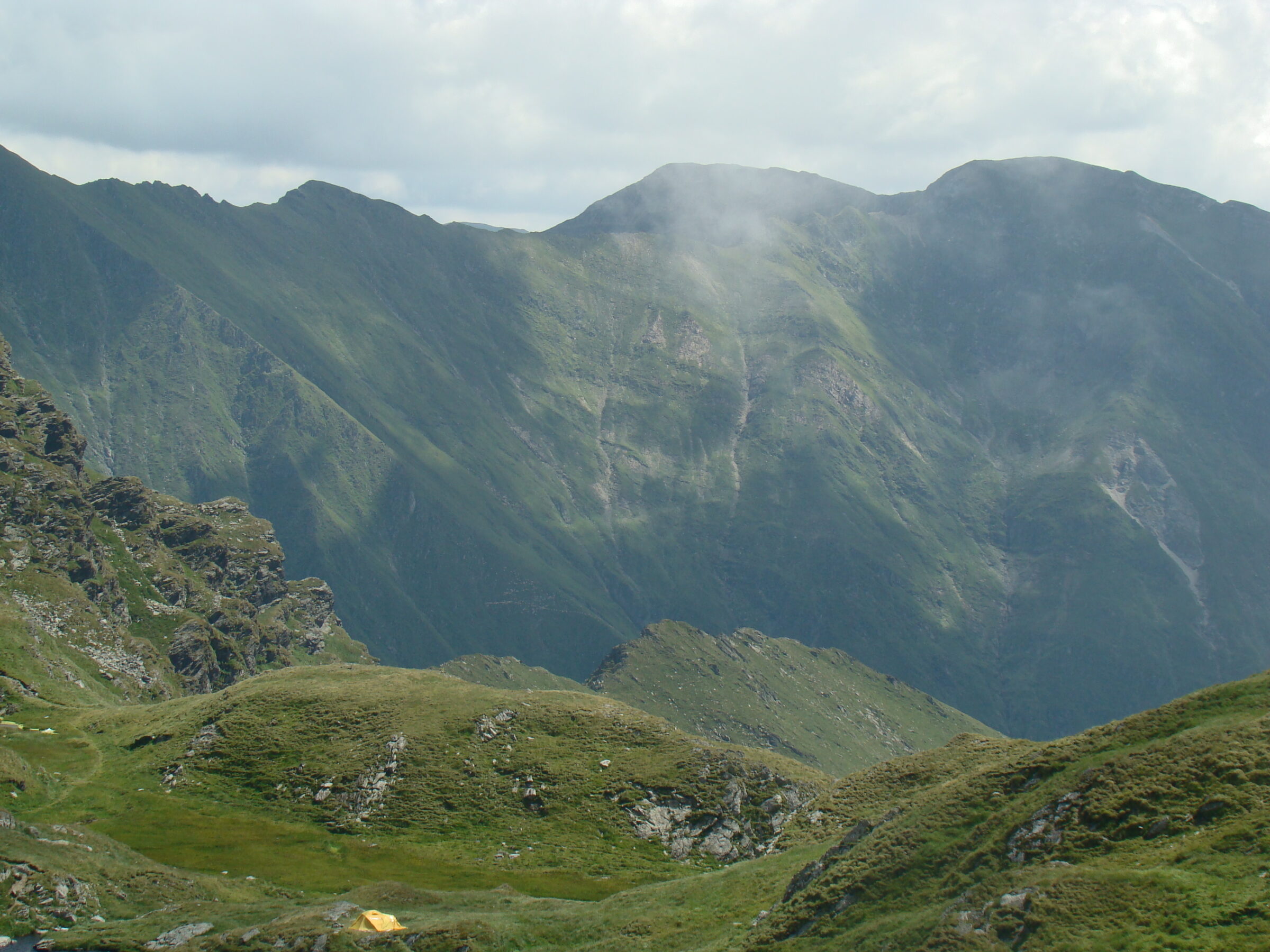
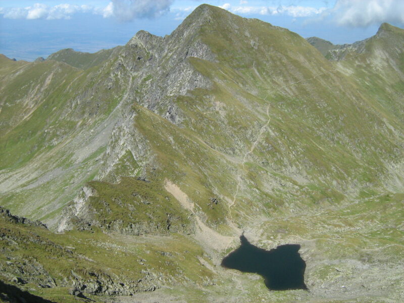
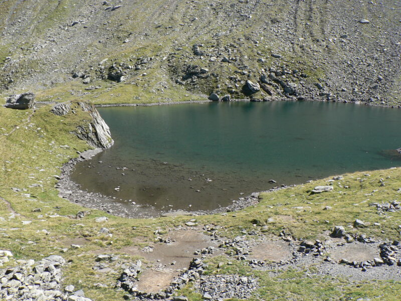
Lacul Capra is a glacial lake at about 2,230 m in the Făgăraș Mountains, in a hollow between Șaua Capra and Buteanu peak, just over the main ridge from Bâlea Lake.
Visit
Swimming
No reliable information
Tips
Drive the Transfăgărășan to Bâlea Lake, then follow the blue-triangle path from the north-east end of the lake, near the Bâlea Lac hut. It climbs about 300 m to Șaua Capra in up to an hour, on a steep, rocky path with loose gravel, and the lake lies in the valley on the far side. Wear sturdy boots.
You can camp by the lake if you carry up a tent and supplies. Vânătoarea lui Buteanu (2,507 m) is a little further on, and a route runs from the lake to Fereastra Zmeilor. In winter the route needs ice equipment.
Nearby lakes
Show on map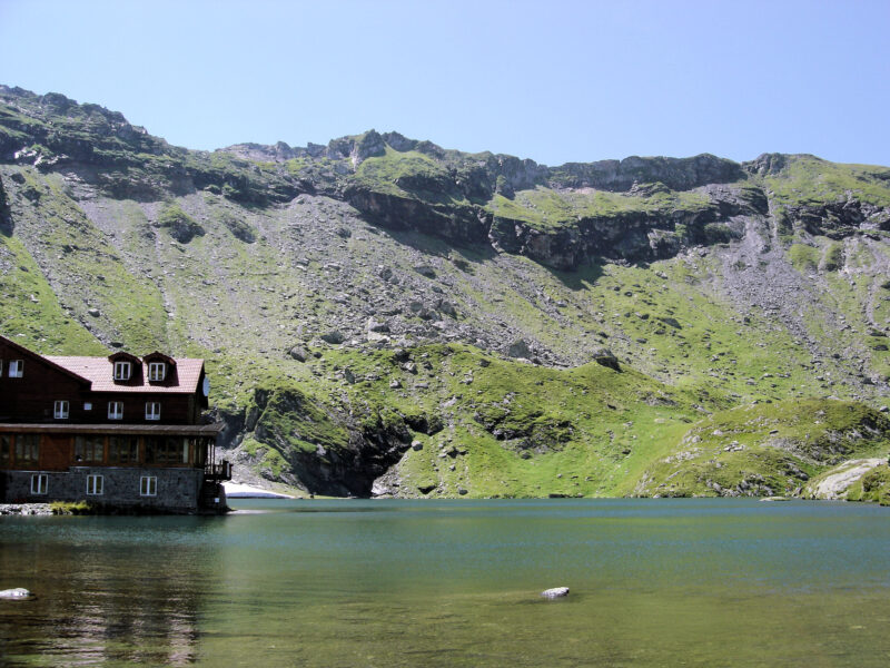


Know Lacul Capra well?
Suggest a beach, viewpoint, trail or amenity, or tell us if something has changed. We read every message.
Sources & data
- OpenStreetMap: Capra (way 336075753), OpenStreetMap contributors
- Cum ajungi la Lacul Capra (2022), Playtech
- Lacul Bâlea – Șaua Capra – Vf. Vânătoarea lui Buteanu, Munții Noștri