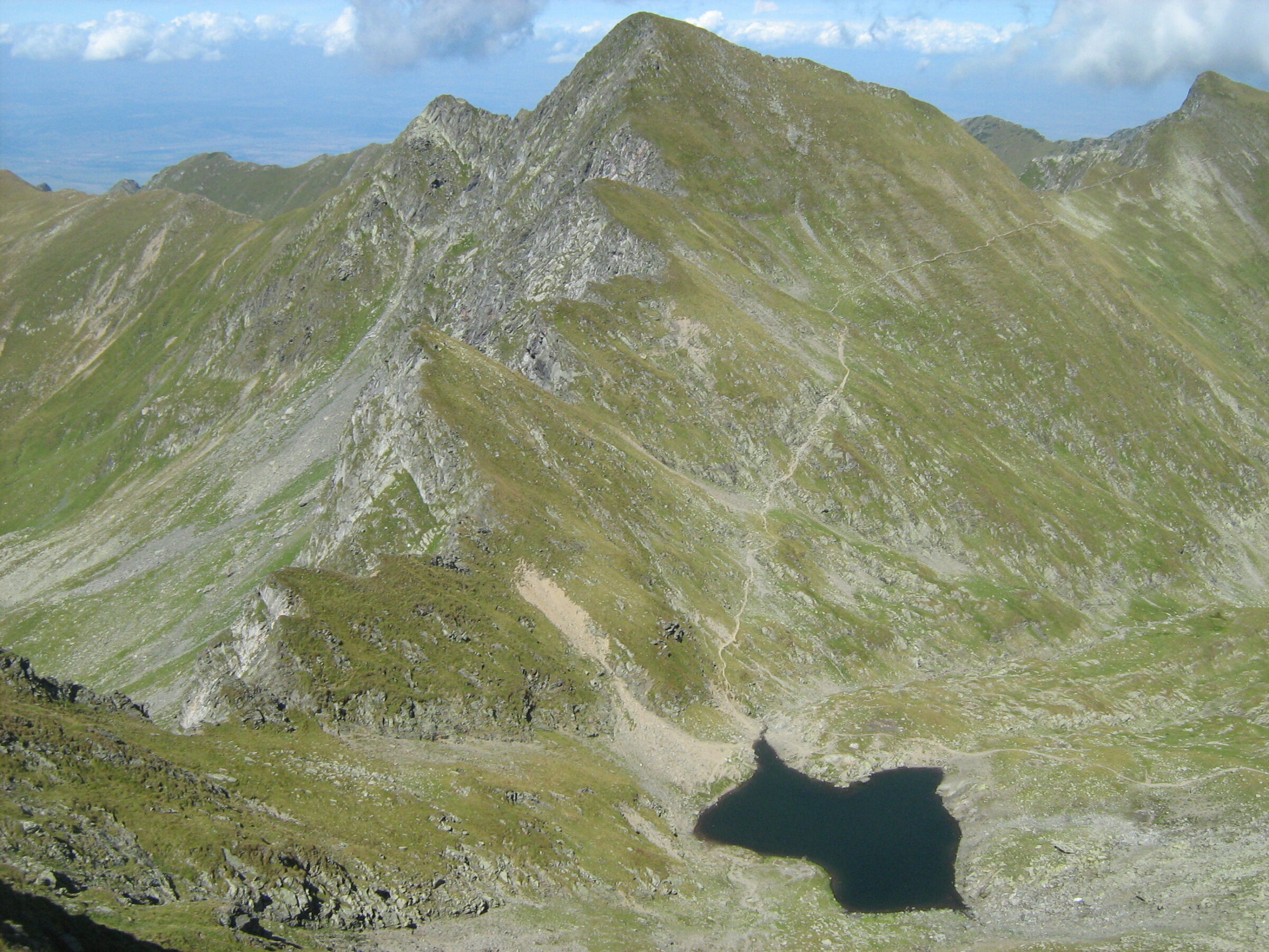
Photo: Cioboata Andrei · CC BY 3.0
Lacul Podragu is a glacial lake on the northern side of the Făgăraș Mountains, about 3 ha, 255 m long and 192 m wide, close to the Podragu hut (2,136 m). At 16.4 m, it is described as the deepest glacial lake in the range.
Visit
Swimming
No reliable information
Tips
From Victoria, a red-triangle trail runs up the Arpașul Mare valley and past the Podragu waterfalls and Turnuri hut: about 16.5 km and 7–8 hours, with about 1,500 m of climbing. It is dangerous in winter, and the Podragu hut closes then.
From the hut, marked routes climb to Podragu saddle (2,301 m) on the main ridge and to Portița Arpașului, past Lake Podrăgel. The route to Portița takes 3.5–4 hours over about 4 km.
Nearby lakes
Show on map


Know Lacul Podragu well?
Suggest a beach, viewpoint, trail or amenity, or tell us if something has changed. We read every message.
Sources & data
- OpenStreetMap: Lacul Podragu (way 176223276), OpenStreetMap contributors
- Lacuri glaciare în Munții Făgăraș, BZI
- Victoria – Podragu, Welcome to Romania
- Podragu – Portița Arpașului, Welcome to Romania