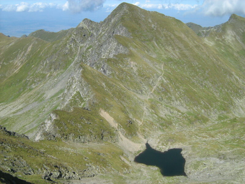
 Photo: Cioboata Andrei · CC BY 3.0
Lacul Urlea is a glacial lake at about 2,192 m on the northern side of the Făgăraș Mountains, about 2 ha and up to 4.4 m deep, among steep rock beneath the Iezerul and La Fundul Bândei peaks.
Visit
Swimming
No reliable information
Tips
A blue-dot route between Curmătura Moșului, the Urlea refuge and Portița Lacului visits the lake. The Urlea glade is reached by road from Făgăraș through Recea and Dejani, about 20 km, and a trail from there climbs to the Moșului saddle (2,200 m) and down the Urlea valley to the Zârnei saddle, 3–4 hours in all and dangerous in winter.
The old Urlea hut burned down in 2019, so do not count on it for shelter. Urlea peak (2,473 m) lies off the main ridge, and the weather here can change quickly, even in summer.
Nearby lakes
Show on mapPhoto: Cioboata Andrei · CC BY 3.0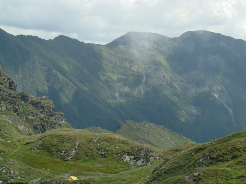


Know Lacul Urlea well?
Suggest a beach, viewpoint, trail or amenity, or tell us if something has changed. We read every message.
Sources & data
- OpenStreetMap: Lacul Urlea (way 31790378), OpenStreetMap contributors
- Lacuri glaciare în Munții Făgăraș, BZI
- Curmătura Moșului – Refugiul Urlea – Portița Lacului, Munții Noștri
- Urlea glade – Zârnei saddle, Welcome to Romania
- Recea – Curmătura Brătilei, Welcome to Romania
- Urlea, Komoot