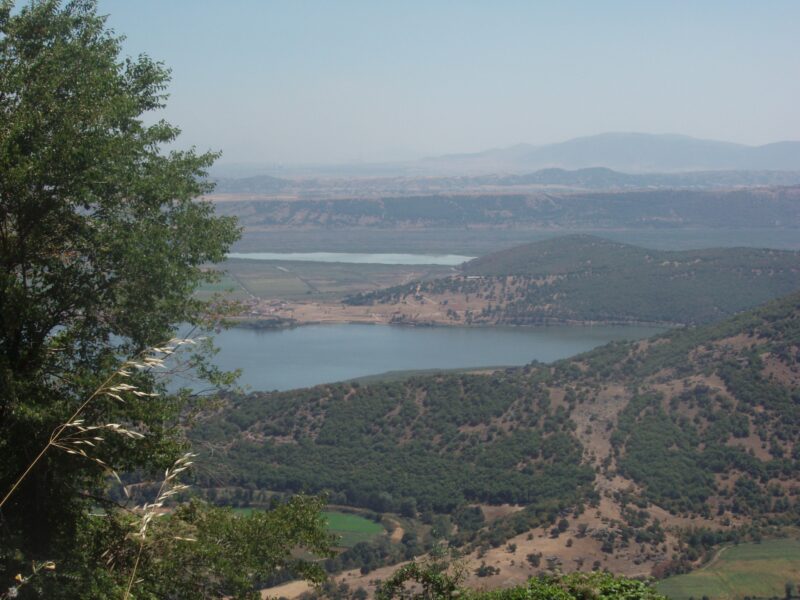
 Photo: Christaras A · CC BY 3.0
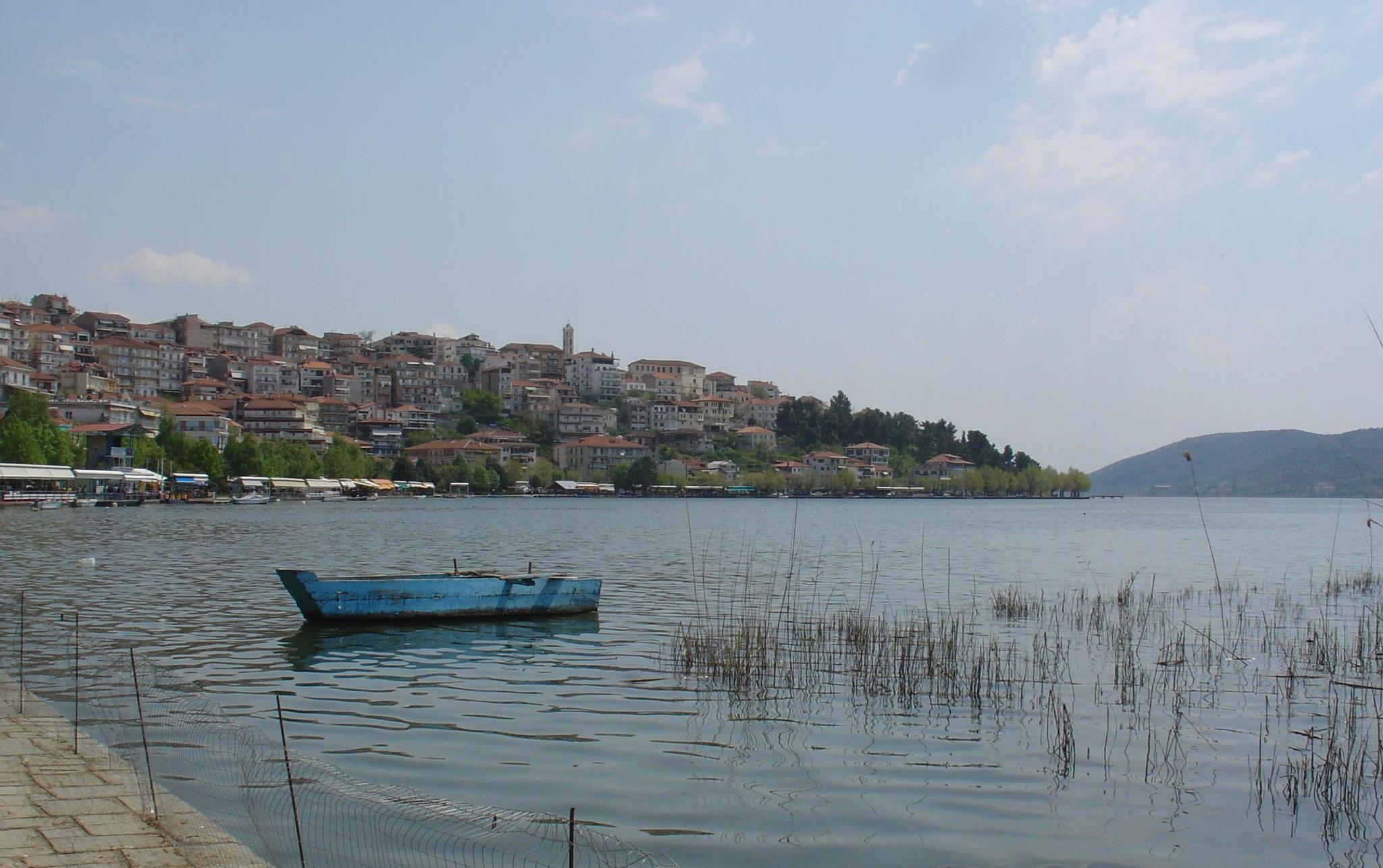
Photo: Pvasiliadis · CC BY-SA 3.0
Lake Kastoria, also called Lake Orestiada, lies in a natural basin surrounded by mountains in northwestern Greece. It is the remnant of a huge ancient lake from the Miocene, and its characteristic kidney shape comes from the Kastoria peninsula, which divides it into a larger northern part and a smaller southern one. The old town of Kastoria, with its Byzantine heritage, stands on the peninsula.
How it formed
The lake is what is left of a vast Miocene lake, much larger and deeper than today. Today it is a shallow lake. Mount Vitsi rises to the north-east, Mount Triklarios to the north-west and the foothills of Voios to the south-west. Water comes mainly from Mount Vitsi, by way of the Xiropotamos on the eastern shore, and from smaller streams, and the lake drains to the Haliacmon river through the small Gioli stream.
History
The lake takes its name from the Oreiades. Its shores hold the Byzantine architectural heritage of the town of Kastoria, the Byzantine monastery of Panagia Mavriotissa from the eleventh century, and the reconstructed prehistoric settlement of Dispilio, where the Dispilio Tablet was recovered from the lake in 1992.
Furs and mansions
Kastoria was long known for its furriers, and the grand mansions of the Doltso quarter reflect the wealth that fur processing and trade brought in the 17th and 18th centuries. Traditional fur workshops still work in the town. In the Apozari quarter you will find ornate Byzantine churches, and the town has more than 70 Byzantine churches in all.
A Neolithic lakeside settlement
Wooden structures at Dispilio date to roughly 5600–5000 BC, to the Middle Neolithic, and the lakeside settlement is a free stop for visitors.
Nature
The lake is surrounded by wooded hills, wet meadows, reedbeds, lakeside forests of willow, poplar and alder, marshes and fields, which support a rich birdlife; the riverside forests shelter more than 200 bird species. It is a eutrophic lake, overloaded with nutrients from agricultural waste and the town's sewage. In some winters it freezes over for a few weeks.
Gallery
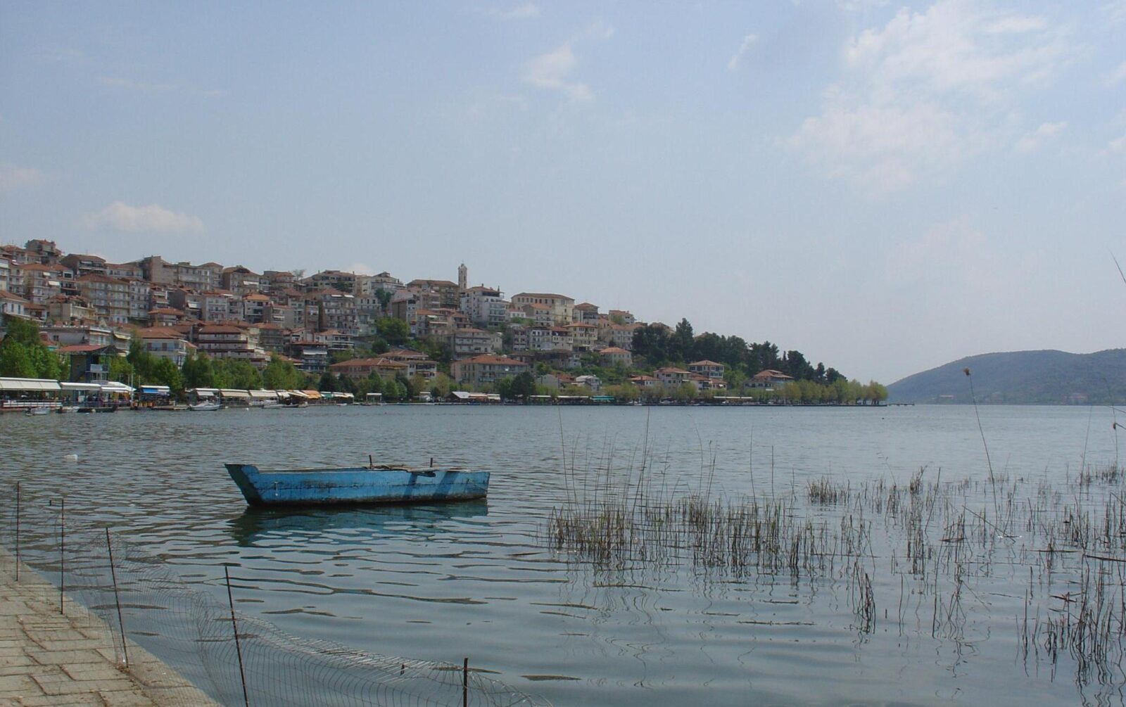 Photo: Pvasiliadis · CC BY-SA 3.0
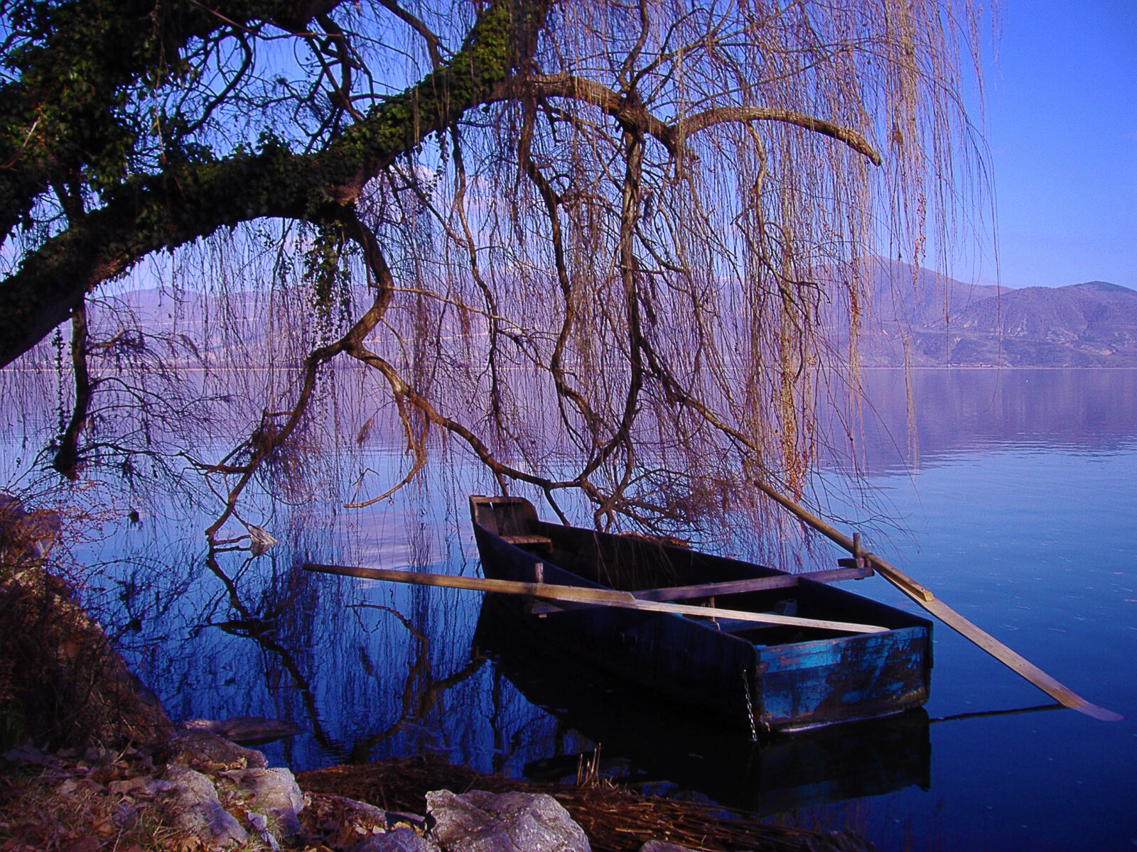 Photo: Poli.papazoi · CC BY-SA 4.0
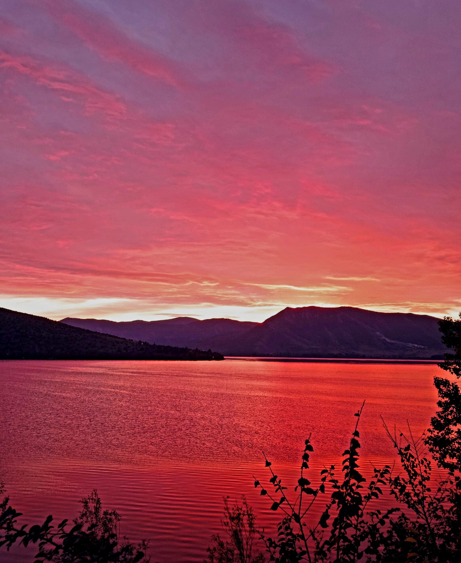 Photo: Alalmanak · CC BY-SA 4.0
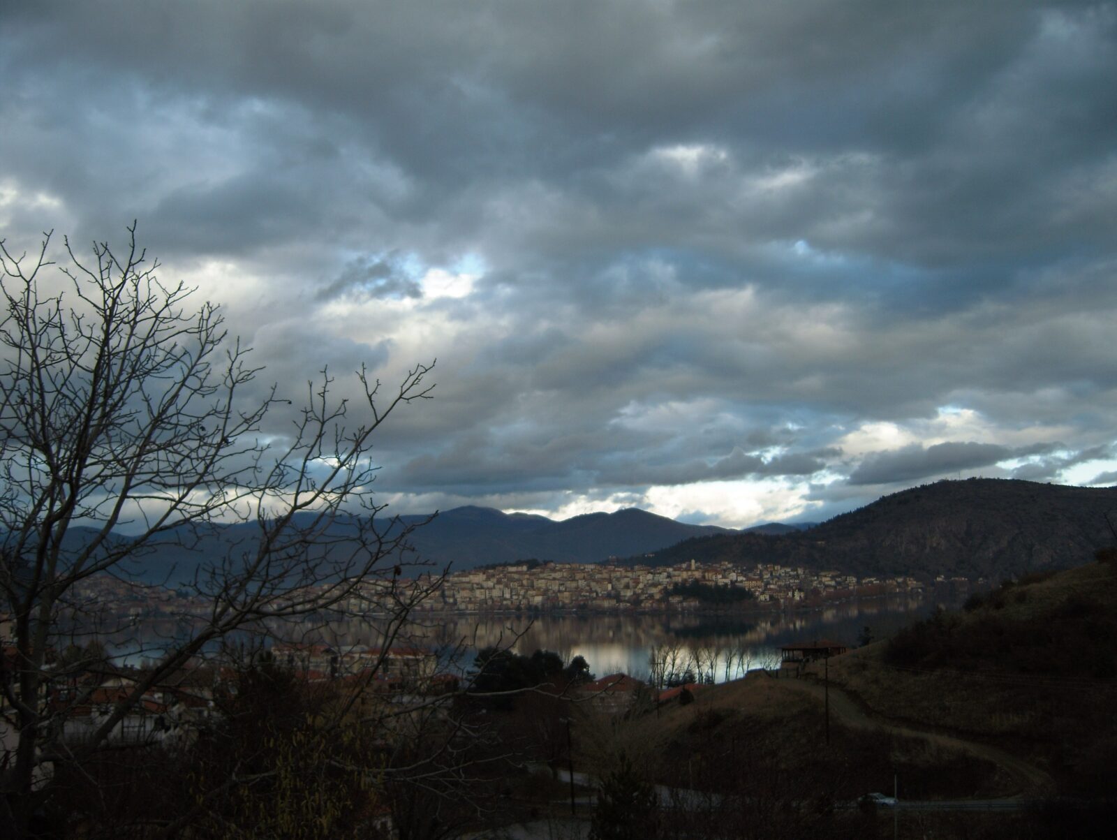 Photo: Подпоручикъ · CC BY-SA 3.0
Visit
Getting there
Nearest settlement: Kastoria
Swimming
No reliable information
Tips
The town of Kastoria lies on the peninsula, with the lake on both sides, and the Panagia Mavriotissa monastery and the settlement of Dispilio are among the lakeside sights. The water quality is affected by pollution, so check local conditions before swimming.
On foot, by bike and on the water
The promenade (perantzada) around Lake Orestiada passes beech and plane trees, and a traffic-free lakeside path suits cyclists. Guided kayak and bike tours are offered, and there is hiking around the lake. The lake lies at about 630 m, and the nearest airport is about 3 km from the centre. March and October–November usually bring lower accommodation prices.
Nearby lakes
Show on map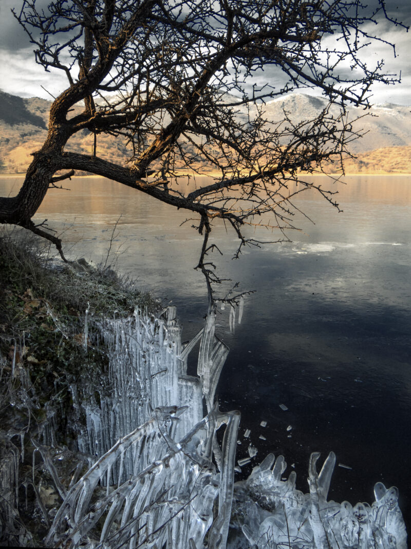


Know Lake Kastoria well?
Suggest a beach, viewpoint, trail or amenity, or tell us if something has changed. We read every message.
Sources & data
- Greece's 2022 Water Framework Directive reporting to the EEA: lake (LW) and transitional (TW) water bodies, field cArea, European Environment Agency (WISE WFD), reported by Greece, 2022
- OpenStreetMap: Λίμνη Καστοριάς (way 186583110), OpenStreetMap contributors
- Wikidata: Lake Orestiada (Q1419902), Wikimedia Foundation
- English Wikipedia: Lake Orestiada, Wikimedia Foundation
- Kastoria, Visit Greece
- Lake Kastoria: things to do, Komoot