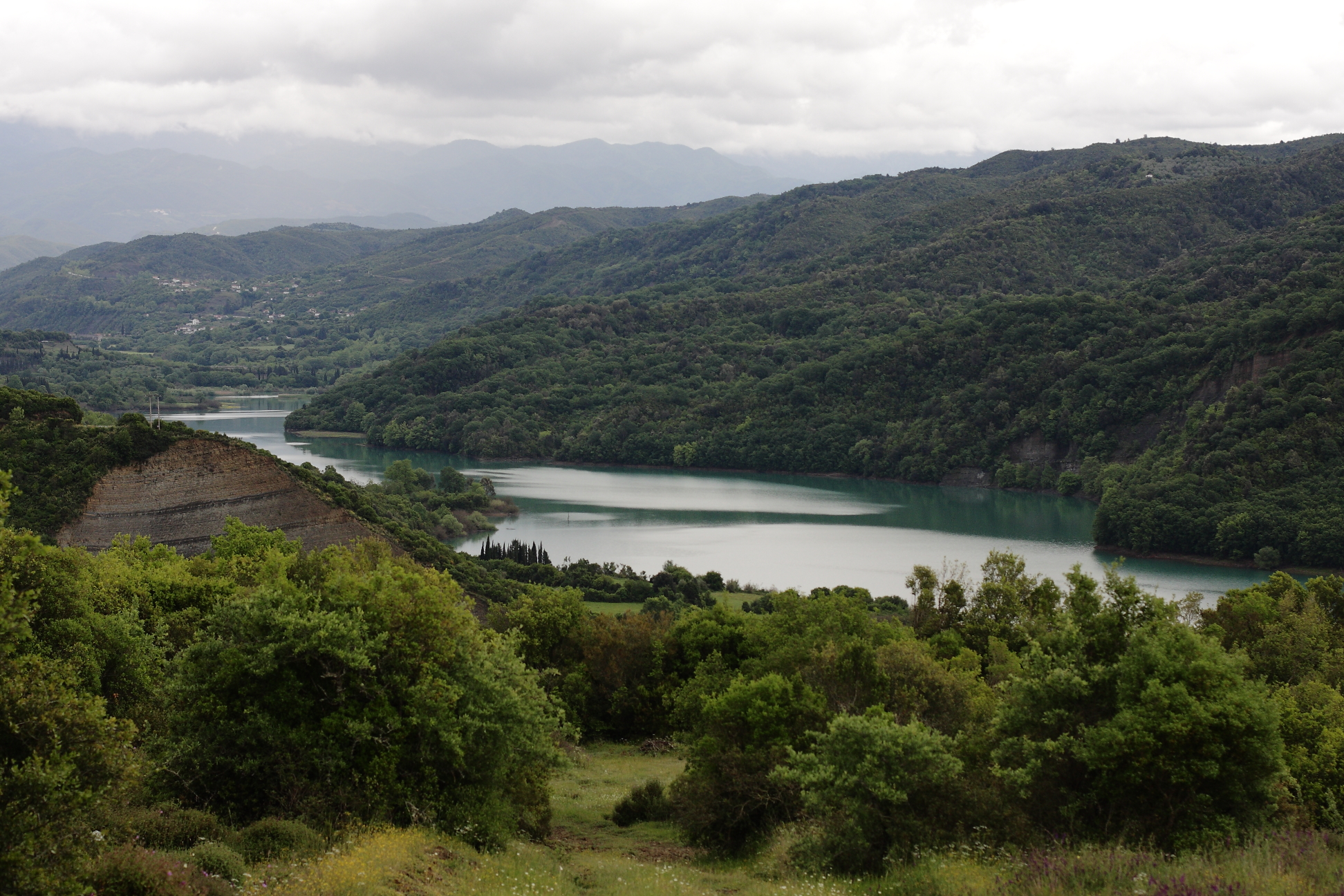
Photo: Christos Houliaras · CC BY-SA 4.0
Lake Pournari is a large artificial lake on the Arachthos near Peta, between Arta and the Tzoumerka mountains, with lush shores and narrow, fjord-like inlets. Its dam is about 107 m high.
History
The water rose over the settlement of Fagos, part of the village of Kato Kalentini, and its people left for higher ground in the early 1980s. In the drought of 2024 the level fell by some 10 m, and stone houses and the school, which once taught about 120 children, came back into view, reached from the Arta–Trikala road past Melates.
Nature
Carp, wild trout and eels live in the lake, with herons, mallards and kingfishers among its birds.
Visit
Swimming
No reliable information
Tips
Shoreline roads and viewpoints give good views of the water, and people come for angling, short hikes and scenic drives. Late spring to early autumn is the best time, with midday heat in high summer.
Guided canoe and kayak trips of about four hours explore the place where the Arachthos enters the lake, all year round, in single, double and triple canoes, and the ruins of Kato Kalentini can be seen when the water is low.
Nearby lakes
Show on map


Know Lake Pournari well?
Suggest a beach, viewpoint, trail or amenity, or tell us if something has changed. We read every message.
Sources & data
- Greece's 2022 Water Framework Directive reporting to the EEA: lake (LW) and transitional (TW) water bodies, field cArea, European Environment Agency (WISE WFD), reported by Greece, 2022
- OpenStreetMap: Τεχνητή λίμνη Πουρναρίου (relation 2963861), OpenStreetMap contributors
- Greek Wikipedia: Λίμνη Πουρναρίου, Wikimedia Foundation
- Wikidata: Pournari lake (Q2106785), Wikimedia Foundation
- Pournari lake, Discover Arta
- The drought revealed a sunken settlement at Lake Pournari (2024), Proto Thema
- Canoe kayak on Lake Pournari, Trekking Hellas
- Pournari lake, TravelDojo