
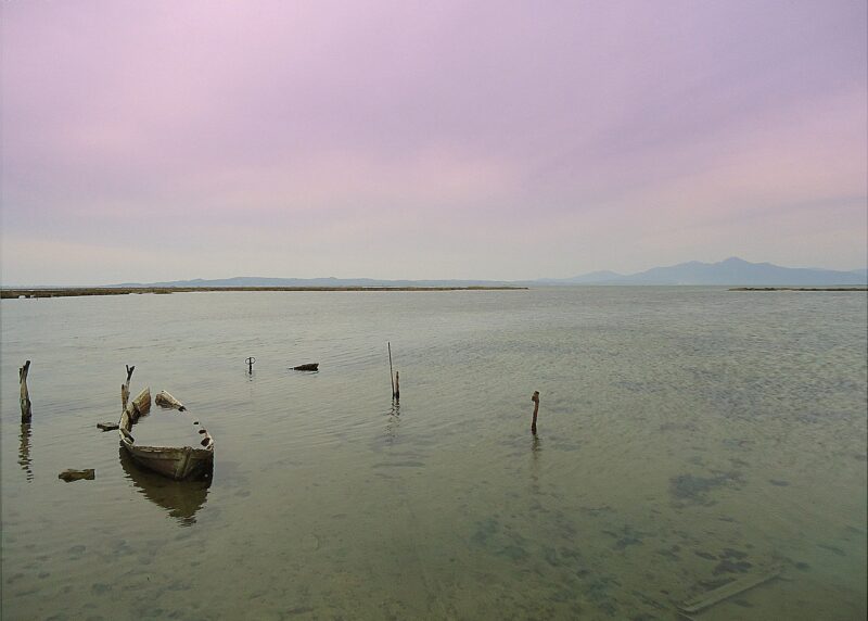
 Photo: ArtaMania · CC BY-SA 4.0
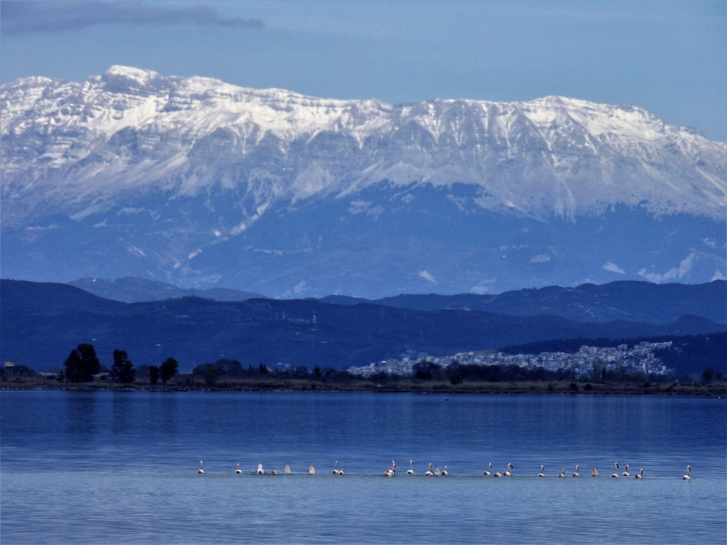
Photo: Plisiotis · CC BY-SA 4.0
Logarou is the largest of the 24 lagoons of the Amvrakikos Gulf, about 27 km² and only about 1 m deep on average. A long strip of land, largely of shells, separates it from the gulf, with which it has only a limited connection.
Nature
The lagoon is very productive and acts as a natural farm for fish and crustaceans. Its seagrass meadows have declined in recent decades, and long droughts, weak winds or frost can lower its oxygen and harm its life. About 300 bird species have been recorded in Amvrakikos National Park, among them Dalmatian pelicans and flamingos, and autumn passage brings the largest numbers.
Visit
Swimming
No reliable information
Tips
A circuit along the earth dykes between the fish ponds gives close views of waders and waterfowl. Boat trips into the lagoon channels run from Menidi and Kopraina. Allow at least a full day for the Amvrakikos wetlands. There is no entrance fee to the park, the main information centre is in Arta, and morning fog is common over the lagoons in autumn and winter.
Nearby lakes
Show on mapPhoto: ArtaMania · CC BY-SA 4.0
Know Logarou Lagoon well?
Suggest a beach, viewpoint, trail or amenity, or tell us if something has changed. We read every message.
Sources & data
- OpenStreetMap: Λιμνοθάλασσα Λογαρού (relation 3544805), OpenStreetMap contributors
- Wikidata: logarou-lagoon (Q25019621), Wikimedia Foundation
- The lagoons of the Amvracian Gulf, Discover Arta
- Amvrakikos Gulf, Katafourko lagoon and Korakonisia, LIFE Transfer
- Amvrakikos Wetlands, International Parks