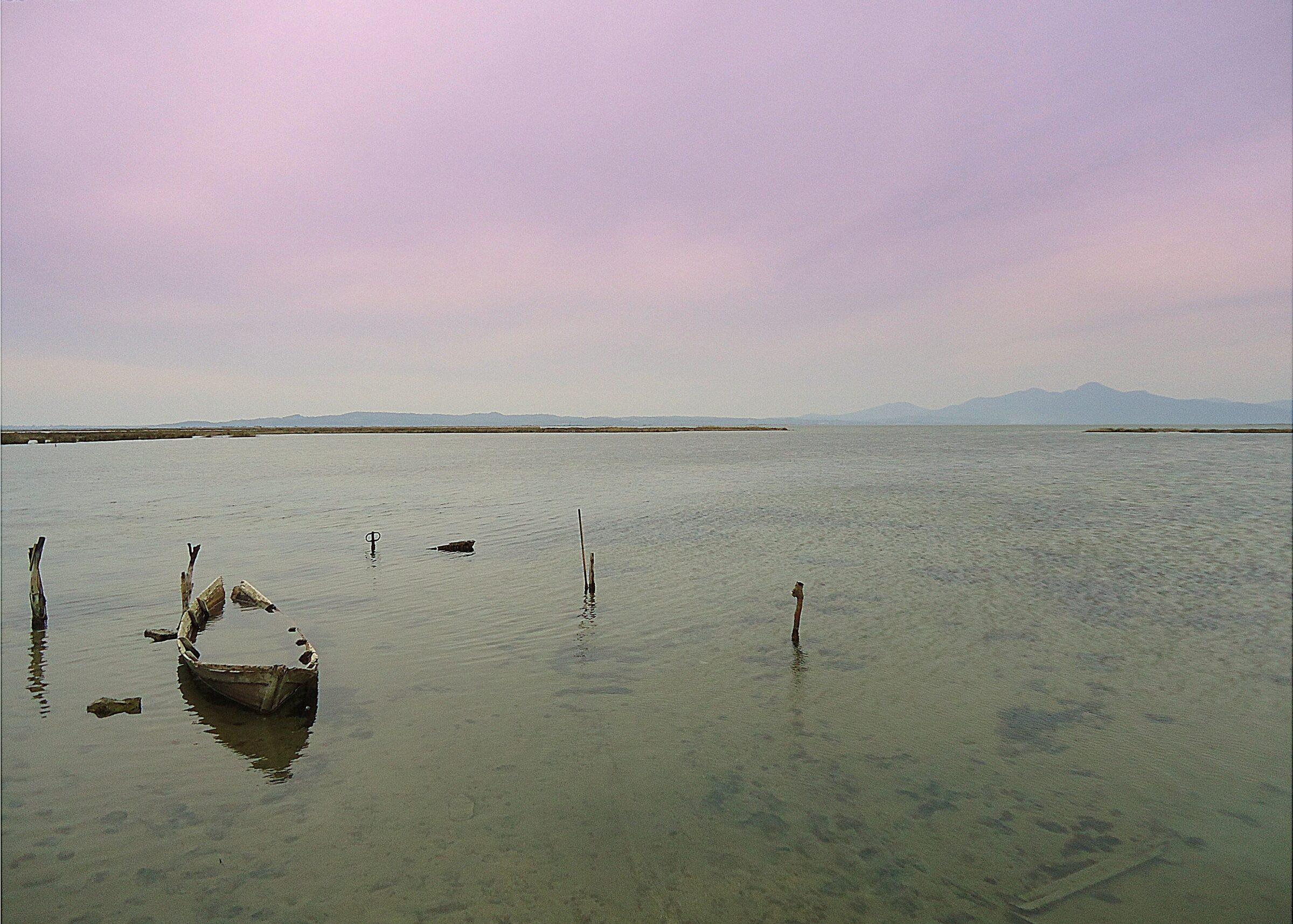
Photo: ArtaMania · CC BY-SA 4.0
Tsoukalio is the second largest lagoon of the Amvrakikos Gulf, about 17 km², joined to its neighbour Rodia in the delta of the Louros, in the north of the gulf. Long strips of land made largely of shells separate these lagoons from the open water.
Nature
It is the saltier of the two lagoons, with stoneworts and dwarf eelgrass on its bed. Flamingos and Dalmatian pelicans feed in the shallows off Vigla, and Kentish plovers, oystercatchers, terns and gulls along the embankment.
Visit
Swimming
No reliable information
Tips
The dirt track from Strongyli to Vigla is good for songbirds, and the shallows in front of Vigla for waders and flamingos. From there, follow the Tsoukalio embankment as far as your car allows. The roads are partly unpaved, and a telescope is useful.
The village of Petra, about an hour by road from Parga or Lefkada, is a good starting point. Winter and the spring and autumn migrations are the best times. Allow at least a full day for the Amvrakikos wetlands. There is no entrance fee to the park, the main information centre is in Arta, and morning fog is common over the lagoons in autumn and winter.
Nearby lakes
Show on map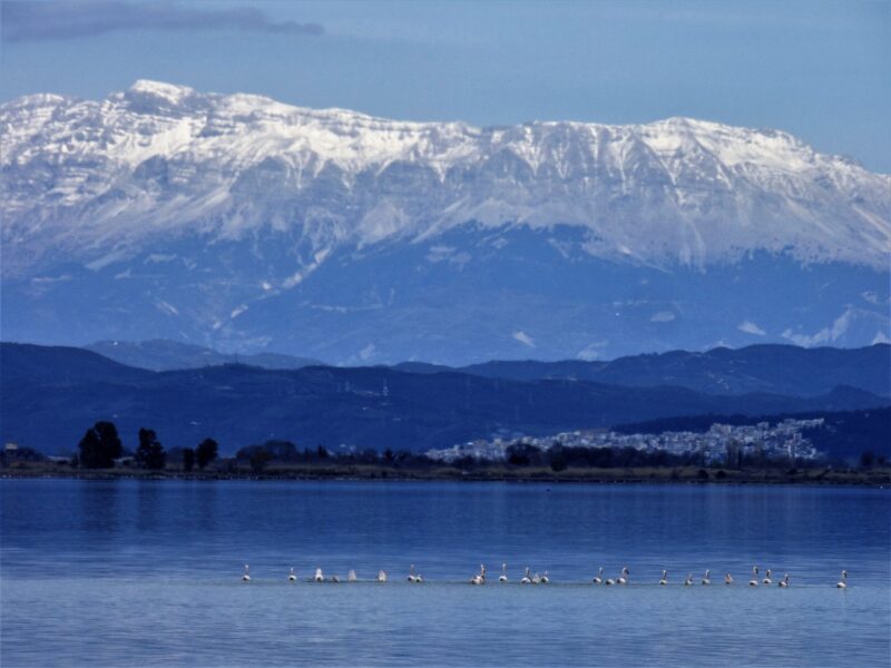


Know Tsoukalio Lagoon well?
Suggest a beach, viewpoint, trail or amenity, or tell us if something has changed. We read every message.
Sources & data
- OpenStreetMap: Λιμνοθάλασσα Τσουκαλού (way 112401669), OpenStreetMap contributors
- Wikidata: tsoukalio-lagoon (Q24888266), Wikimedia Foundation
- The lagoons of the Amvracian Gulf, Discover Arta
- Amvrakikos Gulf, Katafourko lagoon and Korakonisia, LIFE Transfer
- Amvrakikos Wetlands NP: Rodia and Tsoukalio lagoons, Birdingplaces