 Photo: Plisiotis · CC BY-SA 4.0
Protected area
Greece · Epirus · Western Greece
Amvrakikos Wetlands National Park
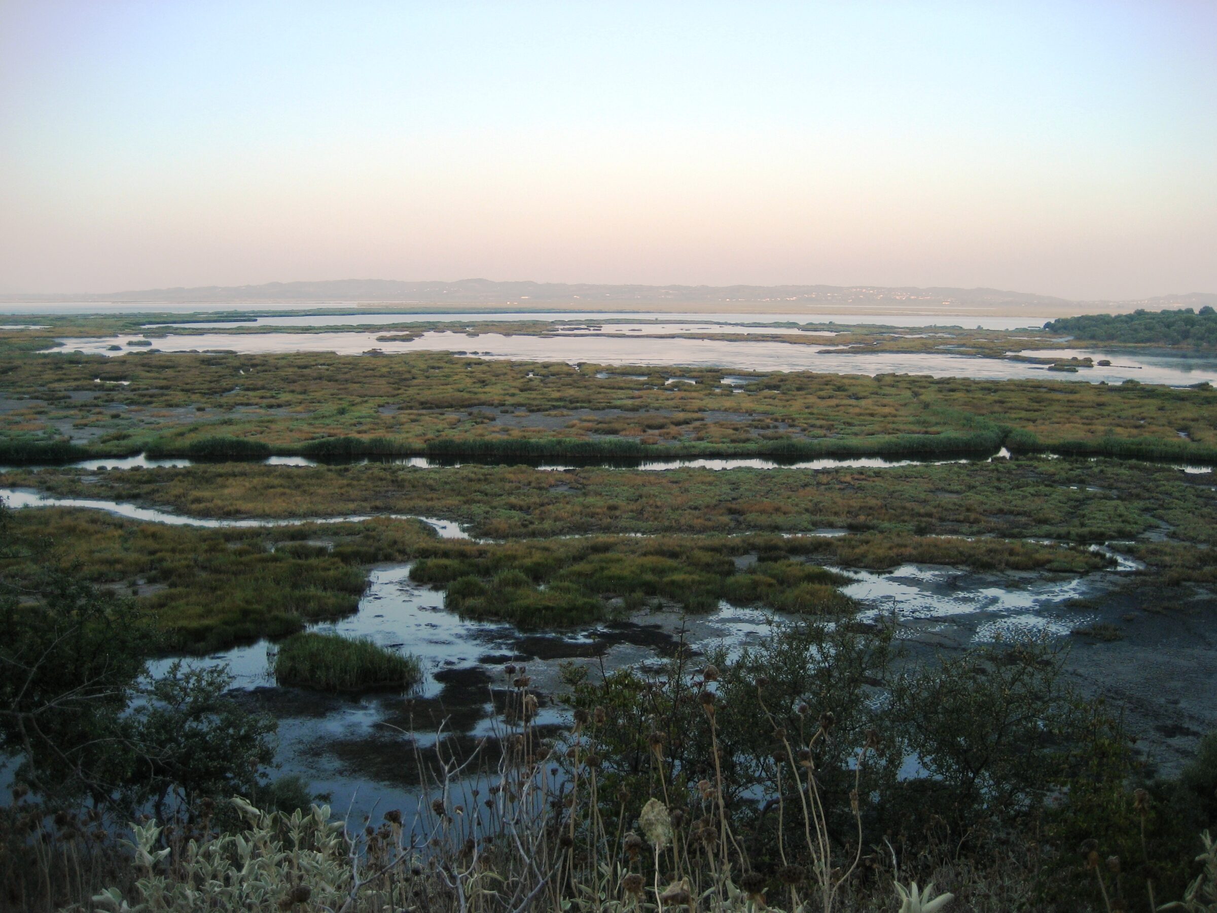
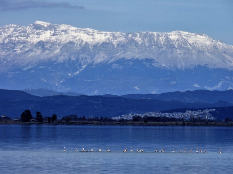
Amvrakikos Wetlands National Park protects the Ambracian Gulf, also called the Gulf of Arta, an enclosed gulf of the Ionian Sea in north-western Greece and one of the largest of its kind in the country. The gulf is shallow and its northern shore is broken by numerous marshes, large parts of which form an estuary system where the Louros and Arachthos rivers drain in. Because of this the water is warmer and less salty than the Ionian Sea. The only entrance is a narrow channel between Aktio and Preveza, now crossed by a road tunnel, and the towns of Preveza, Amfilochia and Vonitsa lie on its shores.
Visiting Amvrakikos
The park has no entrance fee and about 300 recorded bird species. The Logarou circuit follows earthen dykes between fish ponds, with close views of waders and waterfowl, and boat trips leave from Menidi, Kopraina, Preveza and Vonitsa; a guided tour reaches the best viewing spots. Rodia and Tsoukalio need at least a full day, and ideally two. Winter and the spring and autumn migrations are the best seasons. Petra is the gateway village. Dolphins are most often seen from spring to autumn. Some access roads are rough, and one visitor found an embankment impassable after rain.
Lakes in the area
Skip map
Map unavailable. The list keeps working.
Pinch to zoom. Pan with two fingers.
Ctrl+scroll to zoom (Cmd+scroll on Mac)
- Natural lake
- Natural, regulated
- Artificial lake (reservoir)


Know Amvrakikos Wetlands National Park well?
Tell us if something has changed or is missing. We read every message.
Sources & data
- English Wikipedia: Ambracian Gulf, Wikimedia Foundation
- Birding places: Amvrakikos Wetlands, Rodia and Tsoukalio, Birdingplaces.eu
- The lagoons of the Amvracian Gulf, Discover Arta