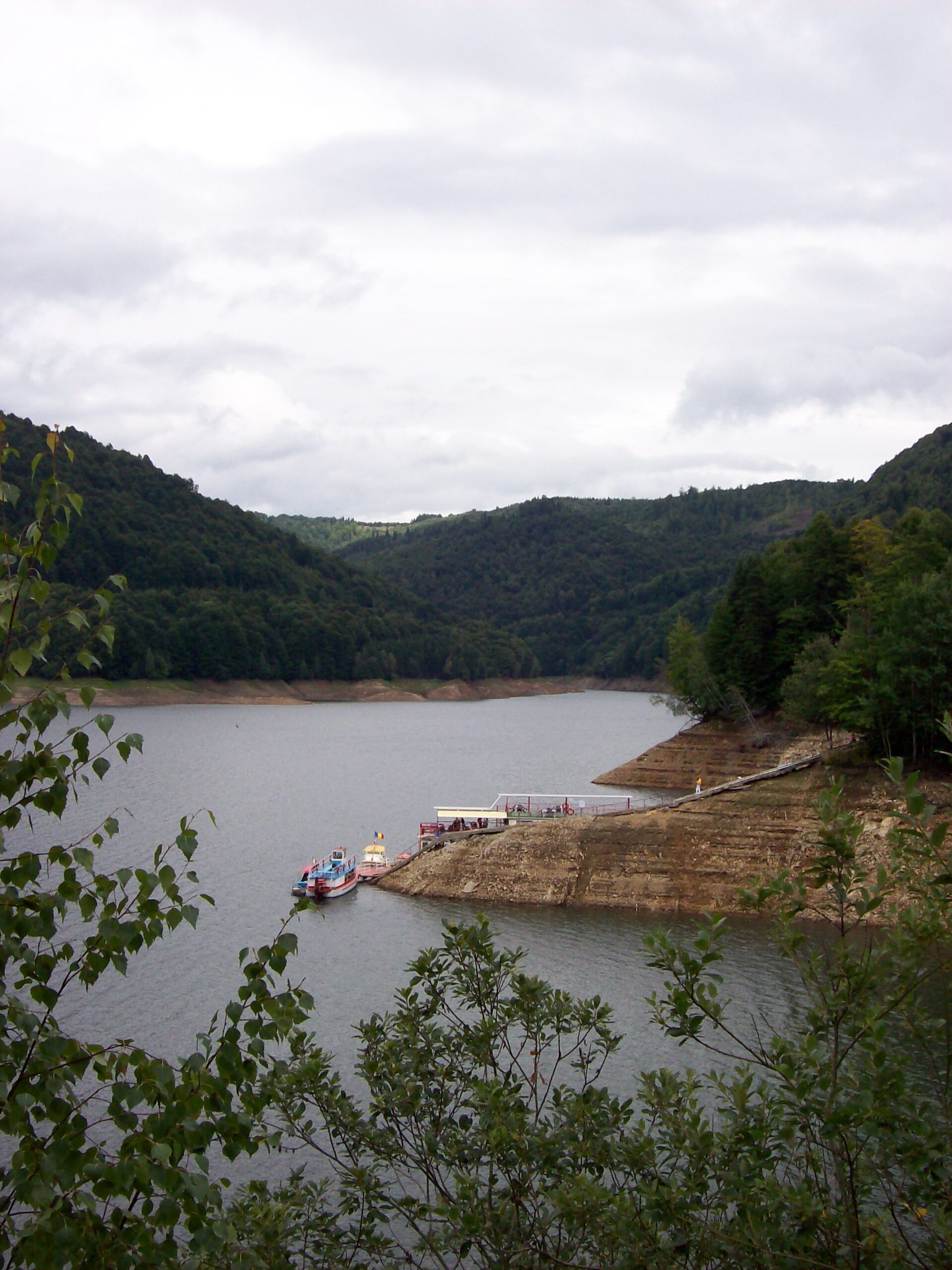
Photo: unknown author · Public domain
Lake Vidraru is an artificial lake on the Argeș river in Romania, created in 1965 by the Vidraru Dam to produce hydroelectricity. It lies in the shadow of the Făgăraș Mountains, and a village lies submerged at the bottom. Tourists come to the dam and the lake for activities such as boating and bungee jumping.
How it formed
The Vidraru Dam was built over more than five years, starting in 1960, and the lake was created in 1965. It is fed by the rivers Capra and Buda and by several smaller streams, and an underground power station lies deep under the Cetatuia massif near the lake. When it was finished it was among the highest-lying artificial lakes in Europe.
History
The village that lies submerged under the water was flooded when the lake was made. On the right bank, on Mount Plesa, stands the statue Energia, which shows Prometheus with lightning in his hand and symbolises electricity.
Nature
The surrounding mountains are wooded and wild, with mixed forests of fir, spruce, beech and oak. Anglers come for brown trout, chub, nase, barbel and perch, and ducks and herons feed near the shore. Woodpeckers, owls and hawks live in the forest, along with deer, wild boar, wolves and brown bears.
Bears often come to the Transfăgărășan road around the dam, drawn by people who feed them. Do not feed or approach them: in July 2025 a motorcyclist who stopped to feed and photograph a bear was killed near a hotel at the dam. Feeding bears can bring a fine of up to 30,000 lei.
Gallery
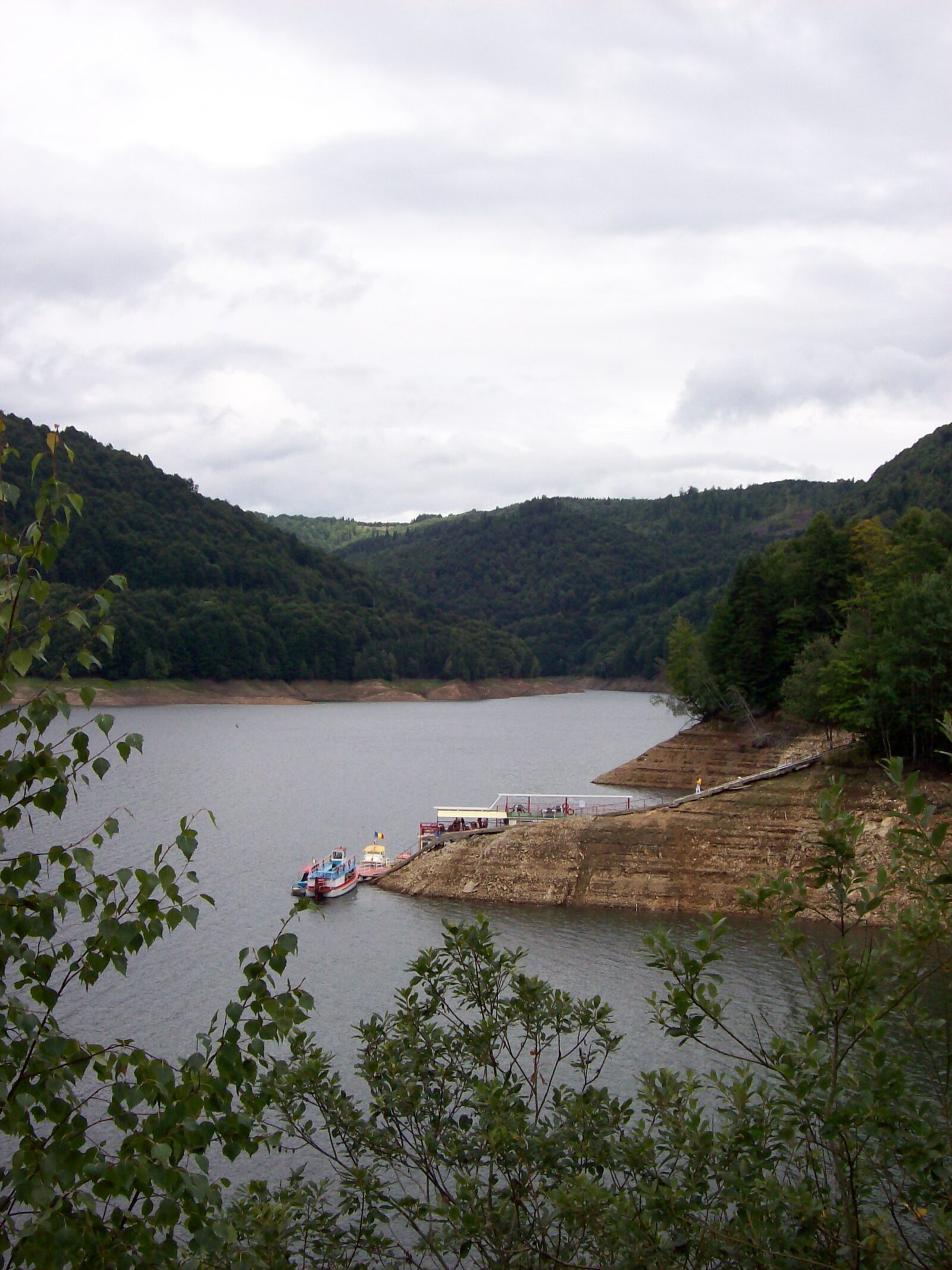 Photo: unknown author · Public domain
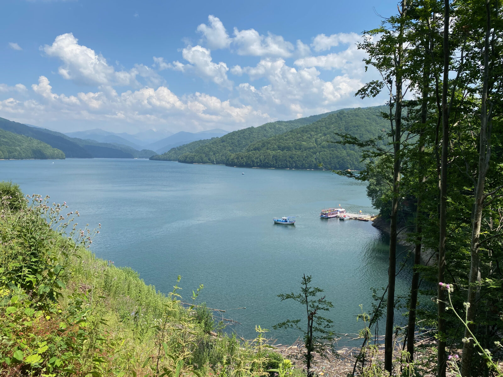 Photo: Josep Renalias Lohen11 · CC BY 4.0
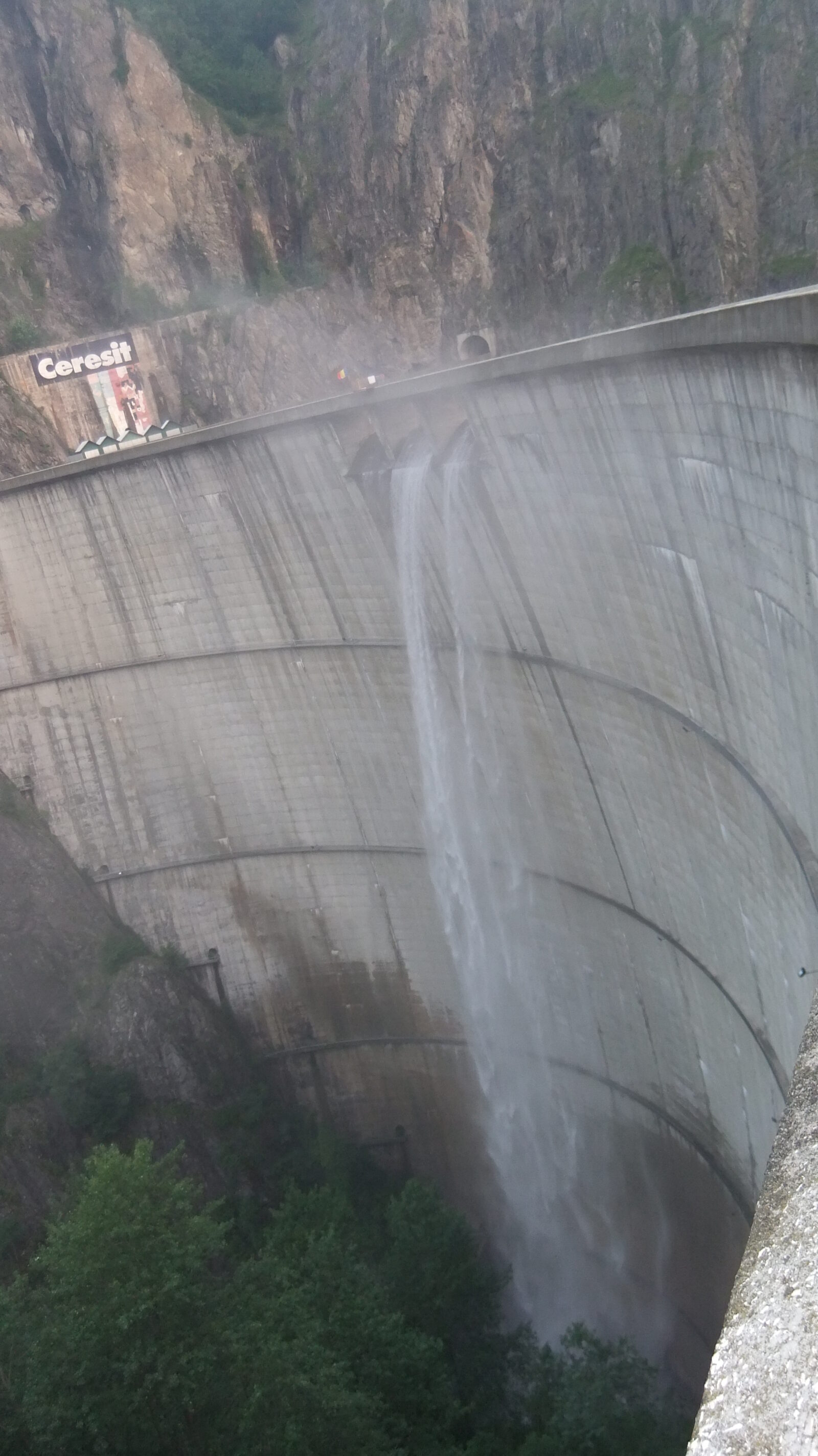 Photo: marius.petriu · CC BY 3.0
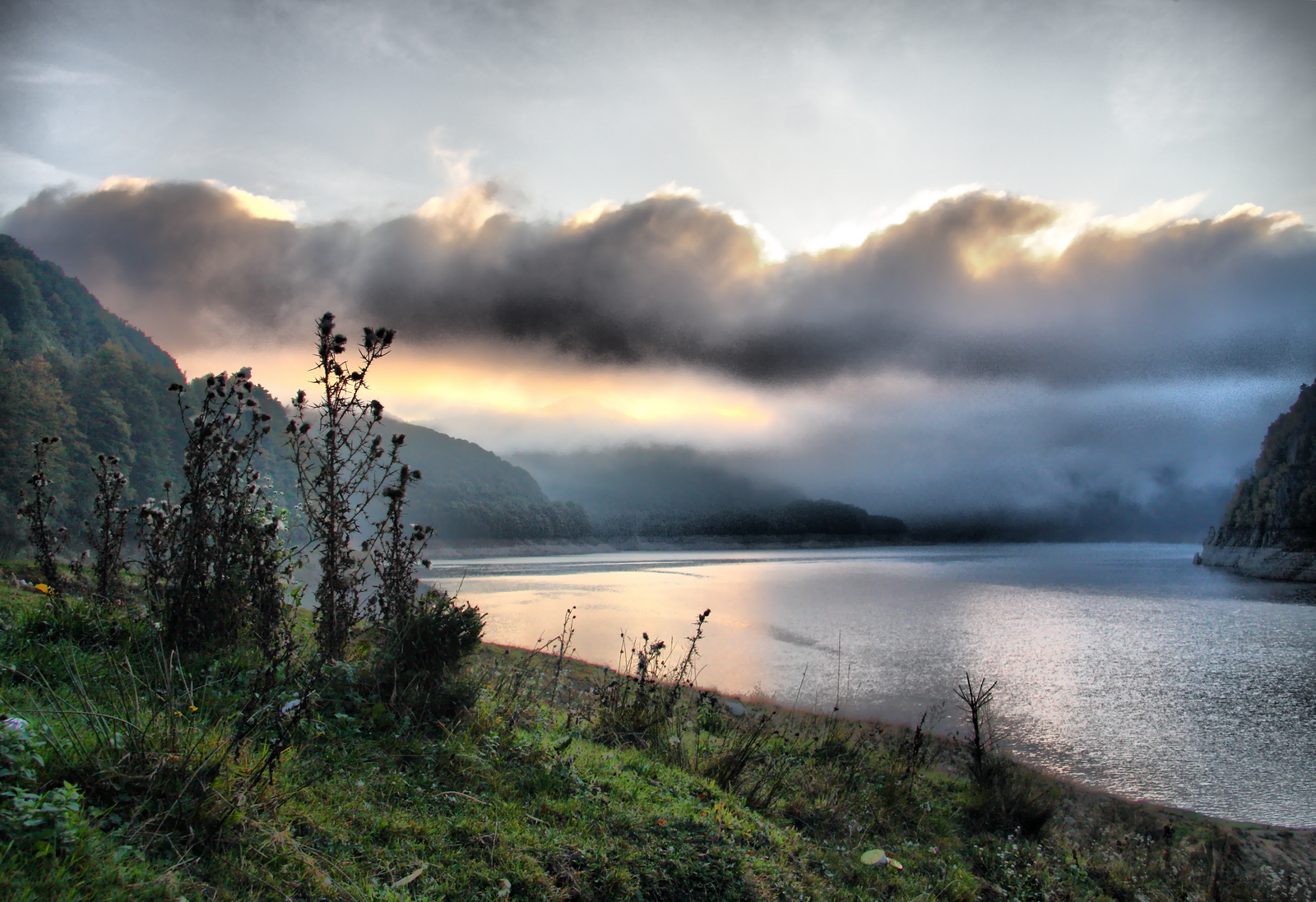 Photo: Petr Kraumann · CC BY 3.0
Visit
Getting there
Nearest settlement: Corbeni
Swimming
No reliable information
Tips
Bungee jumping is practised from the dam, and visitors can walk to the House Argeșeana and to the pier from where leisure boats run. Confirm that the operator is running before you plan around it.
The start of the Transfăgărășan
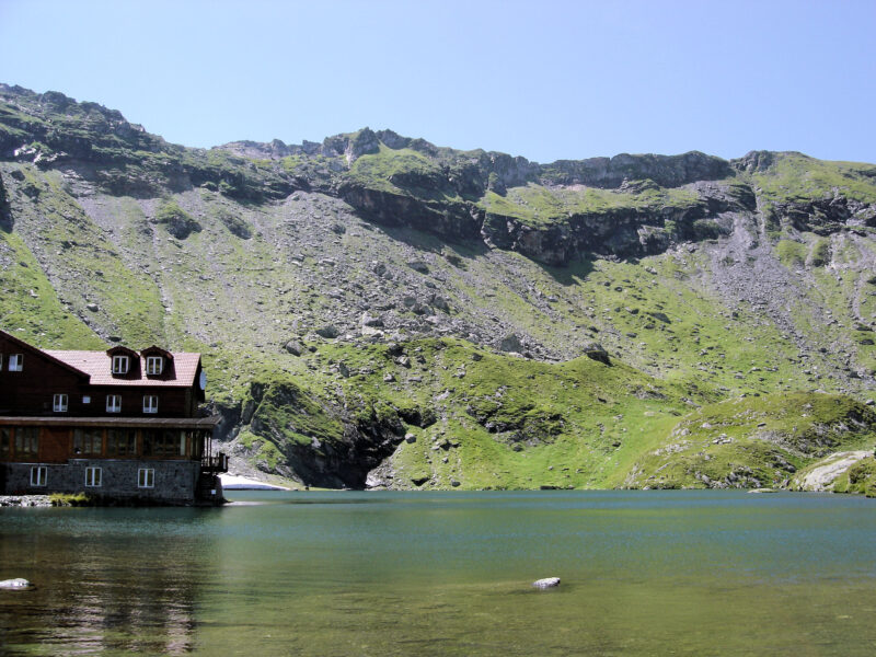
The Transfăgărășan road begins here, passes the hydroelectric plant and climbs towards the ruins of Poenari Fortress, which tour operators sell as the “real Dracula castle” (a marketing label, not a historical verdict). The high part of the road is closed in winter, roughly from November to April, though the southern section stays open. Brown bears live in the area and sometimes appear close to the road, so keep your distance. Kayaking is possible on the lake. A few kilometres on, the road passes Bâlea Lake at 2,034 m.
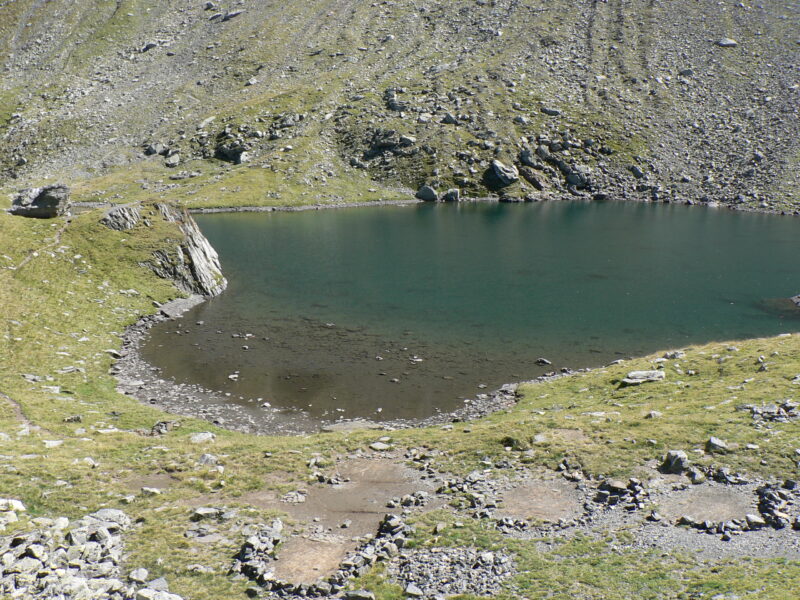
Nearby lakes
Show on map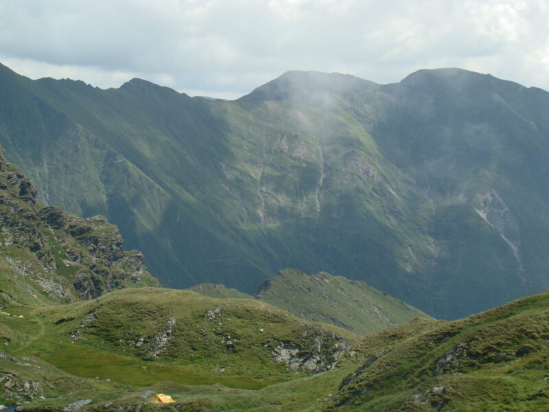


Know Lake Vidraru well?
Suggest a beach, viewpoint, trail or amenity, or tell us if something has changed. We read every message.
Sources & data
- Romania's 2022 Water Framework Directive reporting to the EEA: lake (LW) and transitional (TW) water bodies, field cArea, European Environment Agency (WISE WFD), reported by Romania, 2022
- OpenStreetMap: Lacul Vidraru (way 519227097), OpenStreetMap contributors
- English Wikipedia: Lake Vidraru, Wikimedia Foundation
- Wikidata: Lake Vidraru (Q511976), Wikimedia Foundation
- DN7C: Lacul Vidraru, Welcome to Romania
- Transfăgărășan: Bâlea Lac, Vidraru, Poenari, Revino
- Lacul Vidraru: informații utile, Spotmedia
- Motorcyclist killed in bear attack on the Transfăgărășan (2025), Romania Insider
- Romania to raise fines for feeding bears (2025), Romania Insider