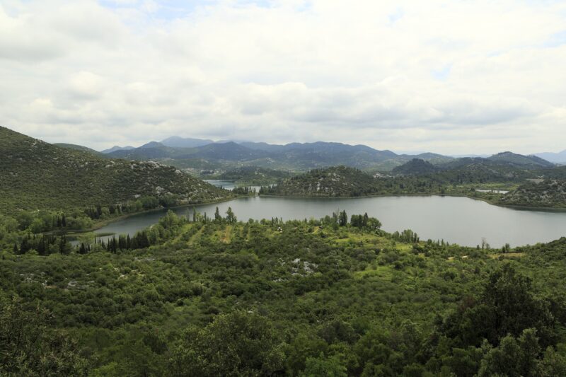
 Photo: Falk2 · CC BY-SA 3.0
The Baćina lakes are a group of karst crypto-depression lakes near Ploče in Dalmatia, whose beds lie below sea level. There are seven: Oćuša, Crniševo, Podgora, Sladinac, Šipak and Plitko jezero are joined, and Vrbnik lies apart. Oćuša is the largest and Crniševo the deepest. Despite the closeness of the sea the water is fresh, though springs connect some of the lakes directly with it. Reed beds, willow thickets and rare marsh plant communities line the shores, and a ride on a traditional Neretva boat is one of the best-known things to do here.
Lakes in this group
Skip map
Map unavailable. The list keeps working.
Pinch to zoom. Pan with two fingers.
Ctrl+scroll to zoom (Cmd+scroll on Mac)
- Natural lake
- Natural, regulated
- Artificial lake (reservoir)
Photo: Falk2 · CC BY-SA 3.0
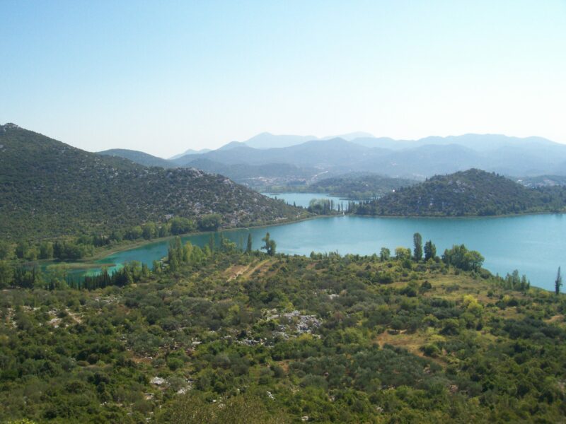 Photo: Draceane · CC BY-SA 4.0

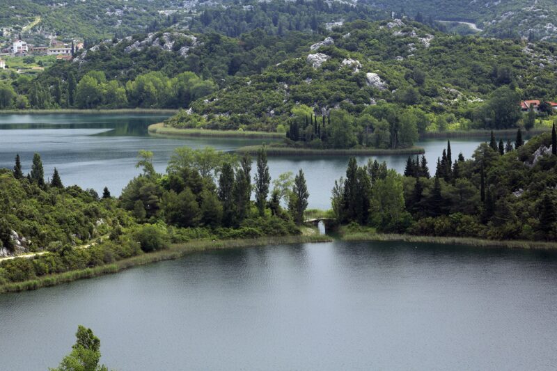 Photo: Falk2 · CC BY-SA 3.0

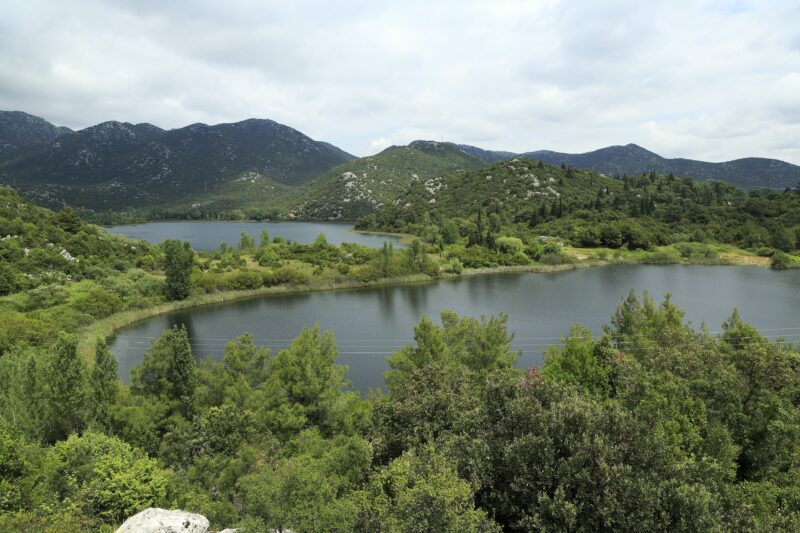 Photo: Falk2 · CC BY-SA 3.0

Know Baćina Lakes well?
Suggest a beach, viewpoint, trail or amenity, or tell us if something has changed. We read every message.
Sources & data
- Statistički ljetopis Republike Hrvatske 2004, table 1-11 "Jezera / Lakes", Državni zavod za statistiku, 2004
- Older scientific paper on the Neretva delta lakes (ANUBiH repository; author, title and year to record when it is first cited), Akademija nauka i umjetnosti Bosne i Hercegovine (repository)
- Wikidata: Baćina lakes (Q812712), Wikimedia Foundation
- English Wikipedia: Baćina lakes, Wikimedia Foundation
- Croatian Wikipedia: Baćinska jezera, Wikimedia Foundation
- Bacina Lakes Croatia, Croatia Itinerary
- Baćina Lakes: Croatia's freshwater phenomenon, Total Croatia News