 Photo: Falk2 · CC BY-SA 3.0
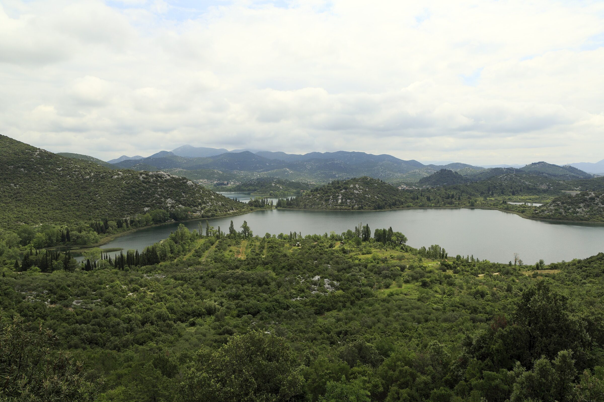
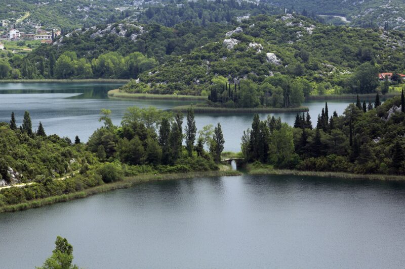
Photo: Falk2 · CC BY-SA 3.0
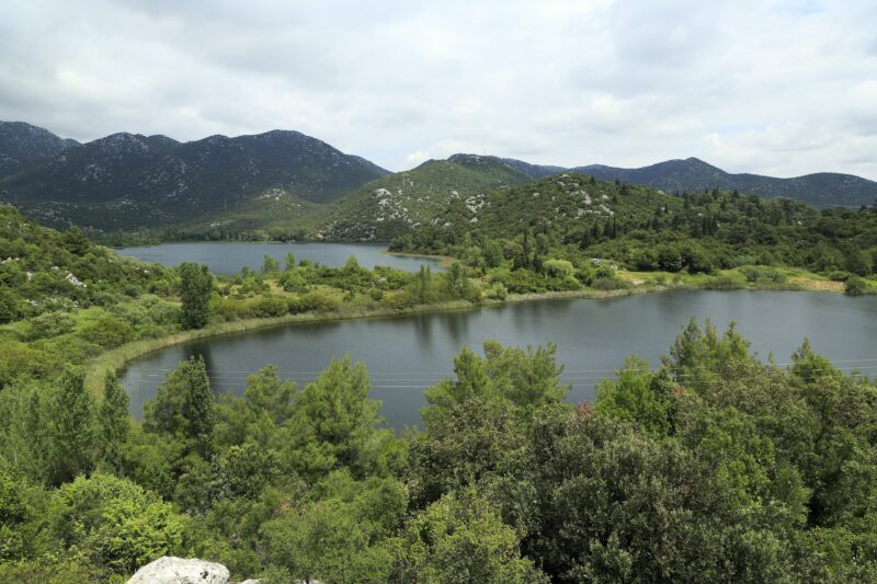
Crniševo is the deepest of the Baćina lakes, a group of seven karst lakes just outside Ploče, beside the Adriatic Highway near the mouth of the Neretva. Six of the lakes are joined by narrow channels, so a boat or a kayak can pass from one to the next, and Crniševo, whose deepest water is salty, is one of the six.
How it formed
The Baćina lakes are a cryptodepression: their surface stands just above sea level, while their beds lie below it. The water is fresh, but some springs are linked directly with the sea, and at the bottom of Crniševo the water is salt. A tunnel dug between 1914 and 1938 to carry the surplus winter water of the Vrgorac field to the sea lowered the level of the lakes, though it still rises noticeably in winter.
History
People have lived by these lakes since antiquity. Near Sladinac, one of the joined lakes, lie the remains of the Roman settlement of Praetoria, an early Christian basilica of the 6th century and a group of stećci, the medieval tombstones. Locals call the lakes the pearls of Queen Teuta, after the Illyrian queen who, legend says, loved this place.
Nature
Reed beds and willow thickets ring the lakes, wetland plant communities that are rare on the eastern Adriatic coast, and water lilies grow in the quiet bays. The lakes, part of the Natura 2000 network, hold many kinds of fish, several of them rare endemics, and in 2022 the violet dropwing, a dragonfly of North Africa, was recorded here for the first time in Croatia.
Gallery
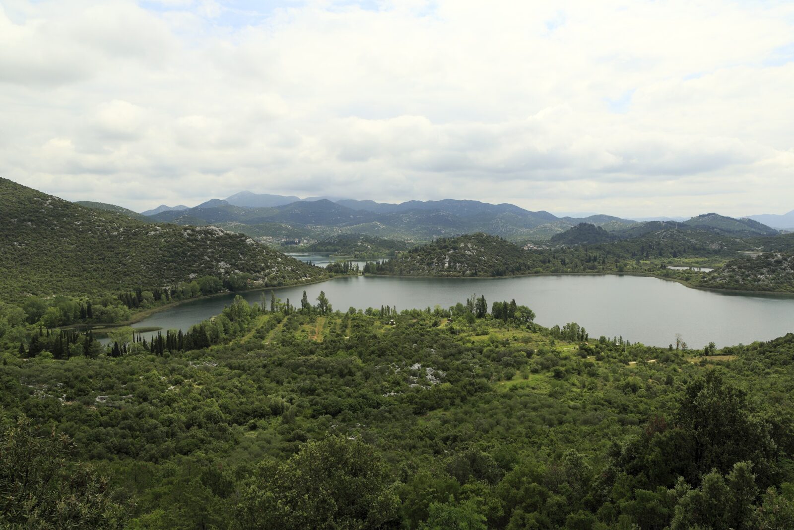 Photo: Falk2 · CC BY-SA 3.0
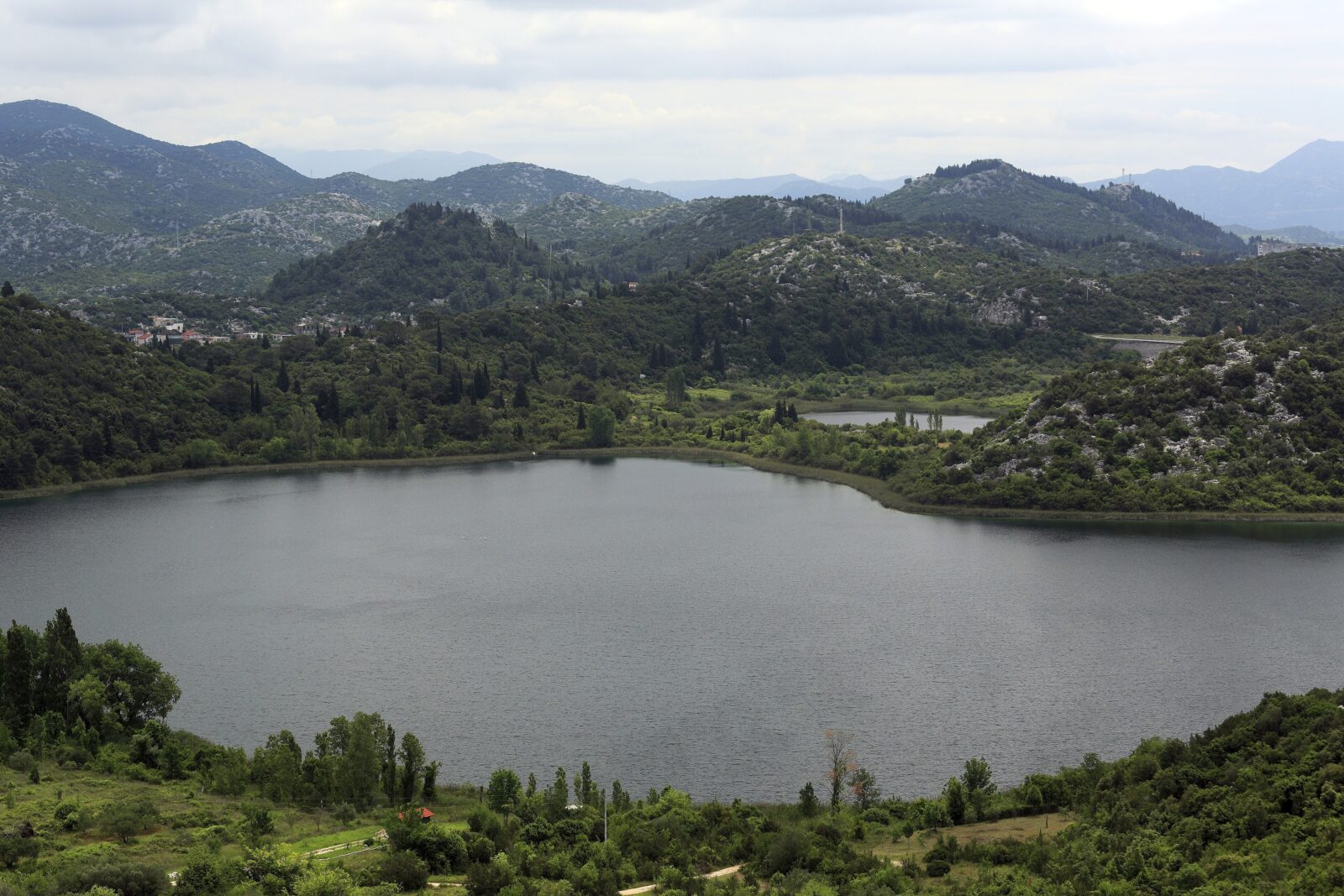 Photo: Falk2 · CC BY-SA 3.0
Visit
Swimming
No reliable information
Tips
The lakes lie a few kilometres from Ploče, just off the main road between Makarska and Dubrovnik. The viewpoint car park on the main road fills quickly in high summer, while the lakeside itself is usually quieter. A walking and cycling path links six of the lakes, with benches, springs and information boards about dragonflies, amphibians, reptiles and birds.
The classic way to see the lakes is a trip in a lađa, the traditional Neretva boat, across the six joined lakes; some of these boats are more than a century old. Kayaks and paddleboards are popular too. The main bathing spots are near the Mindel spring, and because the lakes are a few degrees warmer than the sea in summer, the swimming season starts earlier and ends later.
Nearby lakes
Show on map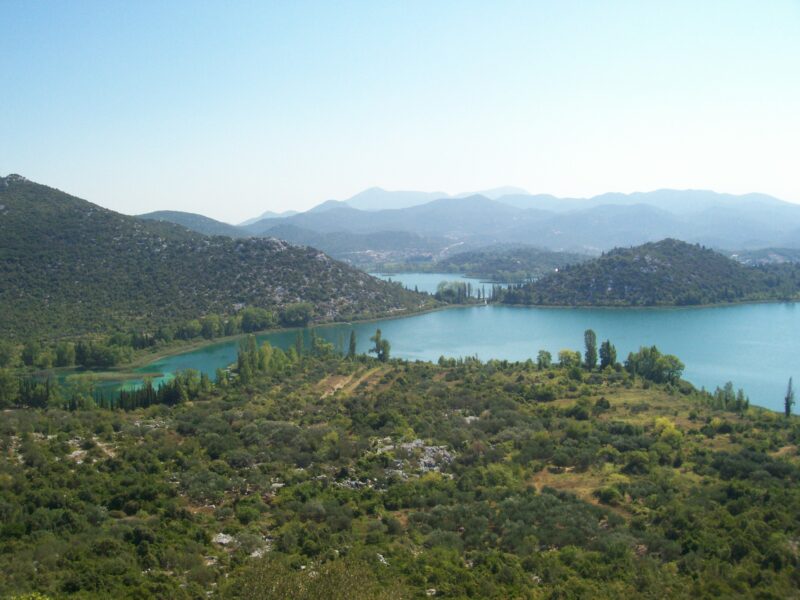


Know Crniševo well?
Suggest a beach, viewpoint, trail or amenity, or tell us if something has changed. We read every message.
Sources & data
- Croatia's 2022 Water Framework Directive reporting to the EEA: lake water bodies (SWB, category LW), field cArea, European Environment Agency (WISE WFD), reported by Croatia, 2022
- OpenStreetMap: Crniševo (way 170675593), OpenStreetMap contributors
- Croatian Wikipedia: Baćinska jezera, Wikimedia Foundation
- English Wikipedia: Baćina lakes, Wikimedia Foundation
- Bacina Lakes Croatia, Croatia Itinerary
- Baćina Lakes: Croatia's freshwater phenomenon, Total Croatia News
- Baćinska jezera – neretvansko kraljevstvo netaknute prirode (2021), Rogotin.hr
- Baćinska jezera, Neretva.org