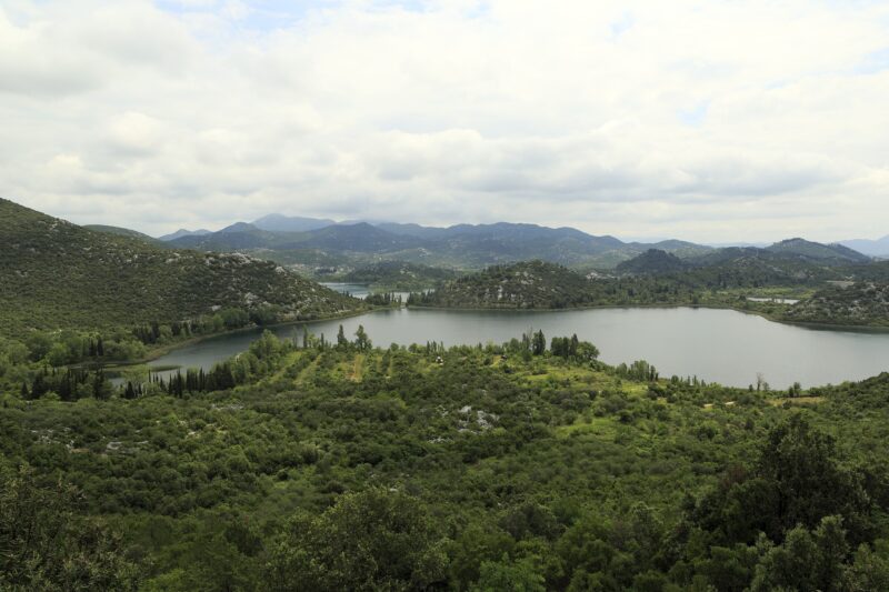
 Photo: Falk2 · CC BY-SA 3.0
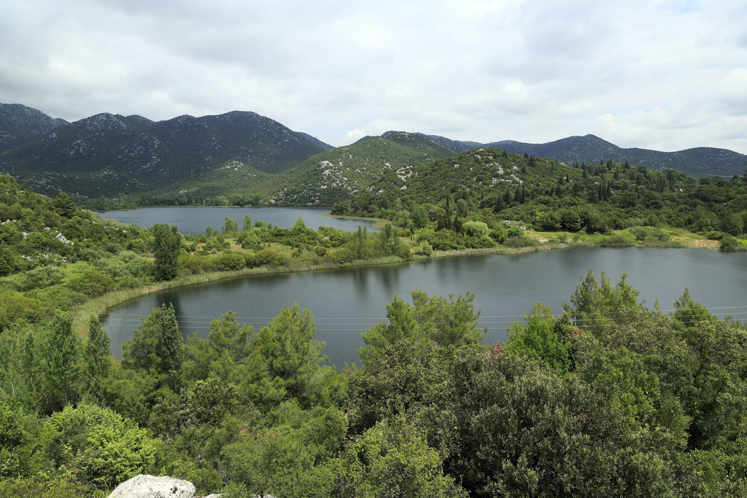
Photo: Falk2 · CC BY-SA 3.0
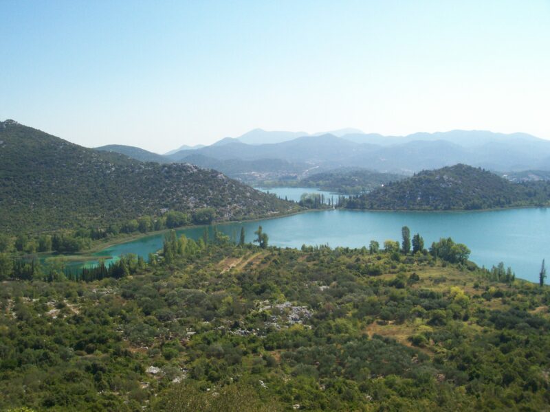
Vrbnik is the smallest of the seven Baćina lakes near Ploče and the only one that stands apart: the other six are joined by narrow channels, while Vrbnik lies on its own, a quiet pool in the karst near the mouth of the Neretva.
How it formed
Like the rest of the group, Vrbnik lies in a karst cryptodepression whose floor is below sea level while its surface stands just above it. The lakes are fed by springs and underground channels, and the water is fresh, although some springs are linked directly with the sea.
Nature
Reeds, willows and water lilies fringe the Baćina lakes, wetland communities that are rare on the eastern Adriatic coast. The group belongs to the Natura 2000 network and holds many kinds of fish, several of them rare endemics.
Visit
Swimming
No reliable information
Tips
The Baćina lakes lie a few kilometres from Ploče, just off the main road between Makarska and Dubrovnik. Boat trips in the traditional lađa and the walking and cycling path link the six joined lakes; Vrbnik lies apart from them.
For a swim, the main bathing spots of the group are near the Mindel spring; in summer the lakes are a few degrees warmer than the sea.
Nearby lakes
Show on map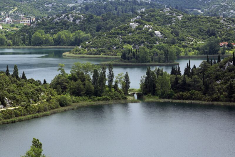


Know Vrbnik well?
Suggest a beach, viewpoint, trail or amenity, or tell us if something has changed. We read every message.
Sources & data
- OpenStreetMap: Vrbnik (way 170675612), OpenStreetMap contributors
- Croatia's 2022 Water Framework Directive reporting to the EEA: lake water bodies (SWB, category LW), field cArea, European Environment Agency (WISE WFD), reported by Croatia, 2022
- Croatian Wikipedia: Baćinska jezera, Wikimedia Foundation
- Baćina Lakes: Croatia's freshwater phenomenon, Total Croatia News
- Baćinska jezera – neretvansko kraljevstvo netaknute prirode (2021), Rogotin.hr