

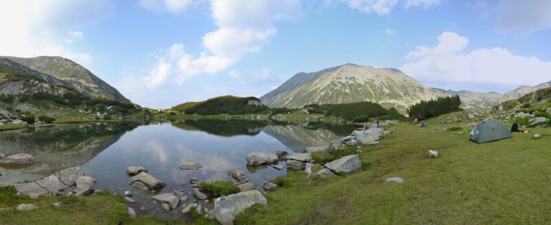
 Photo: Pudelek (Marcin Szala) · CC BY-SA 3.0

Bulgaria · Pirin · Southwestern Bulgaria
Muratovo Lake
Glacial · natural
~1 kmaway
2,230 metreselevation
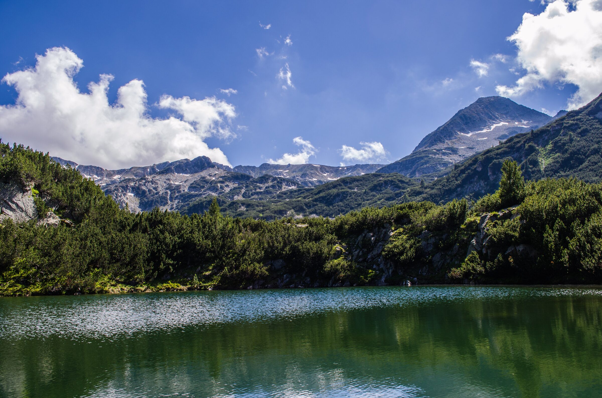
Photo: StefkaVasileva · CC BY-SA 4.0
Okoto, “the Eye”, is a small glacial lake at about 2,060 m in the Banderitsa valley of Pirin, with grassy space around it, just off the main trail above Vihren Hut.
The path crosses alpine meadows, with wildflowers at their best in June and July.
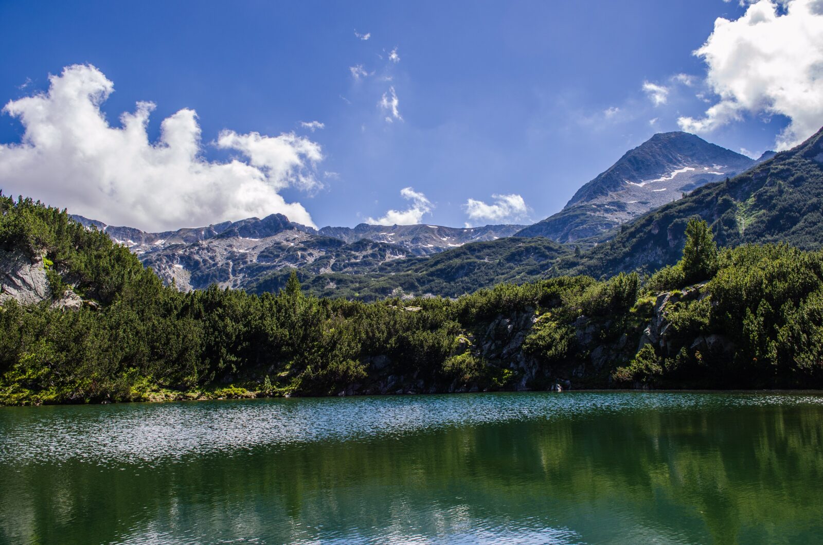 Photo: StefkaVasileva · CC BY-SA 4.0
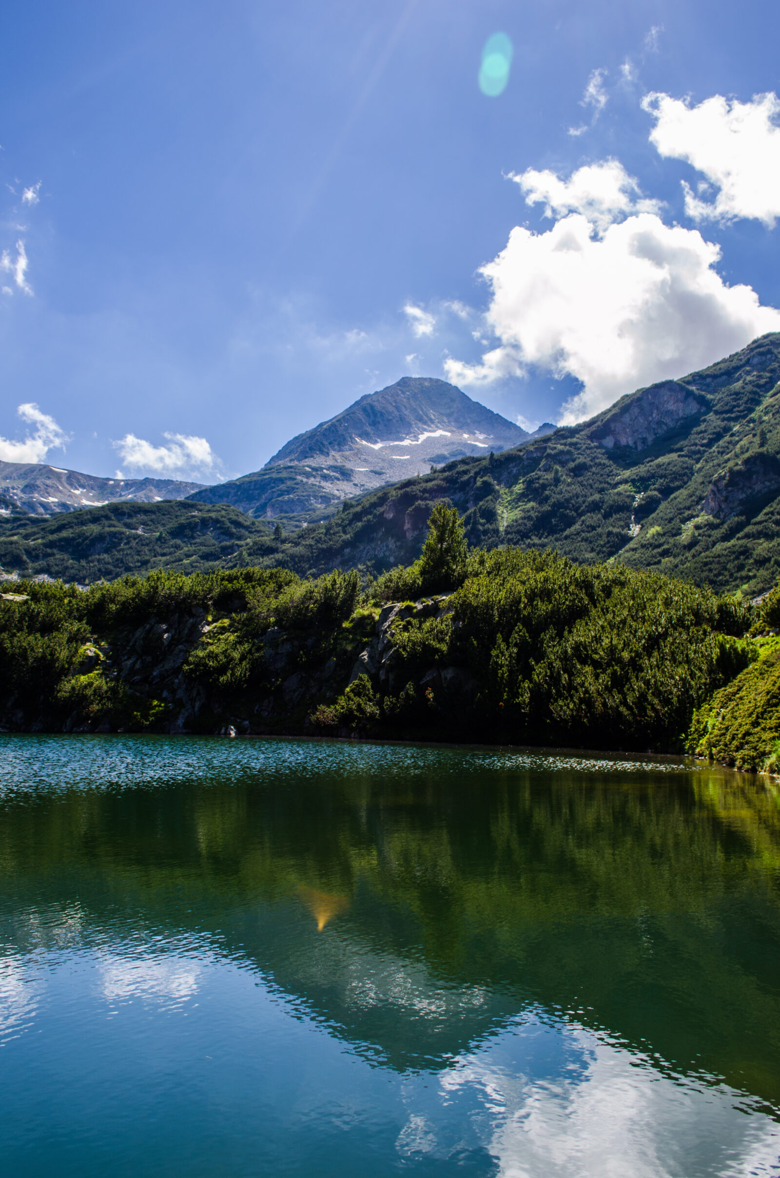 Photo: StefkaVasileva · CC BY-SA 4.0
No reliable information
Okoto is the easiest way into the Banderitsa lakes: about 1.5 km and 30 minutes from Vihren Hut on a gentle path of grass and packed earth, with about 110 m of climbing and a few rocky stretches near the lake. Walking shoes are enough. Cross the bridge over the stream and walk about 5 minutes uphill from the main trail. The lake is easily combined with Muratovo.
The road from Bansko to Vihren Hut (1,950 m) runs about 16–17 km up the Banderitsa valley, past Baikushev’s Pine. On busy days it is closed to cars from about 8 or 8:30 a.m., and parking at the hut fills early, so start early or use the taxi or the bus, which has run from February to mid-September. June to September is the season, and early September is quieter. Swimming is not allowed. See the Pirin Lakes page for more.
Photo: Pudelek (Marcin Szala) · CC BY-SA 3.0Bulgaria · Pirin · Southwestern Bulgaria
Glacial · natural
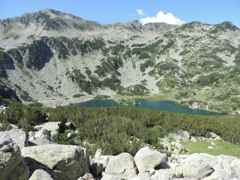 Photo: Спасимир · CC BY-SA 4.0
Bulgaria · Pirin · Southwestern Bulgaria
Glacial · natural
 Photo: Dido3 · CC BY-SA 4.0
Suggest a beach, viewpoint, trail or amenity, or tell us if something has changed. We read every message.
Thank you. We read every suggestion.

