
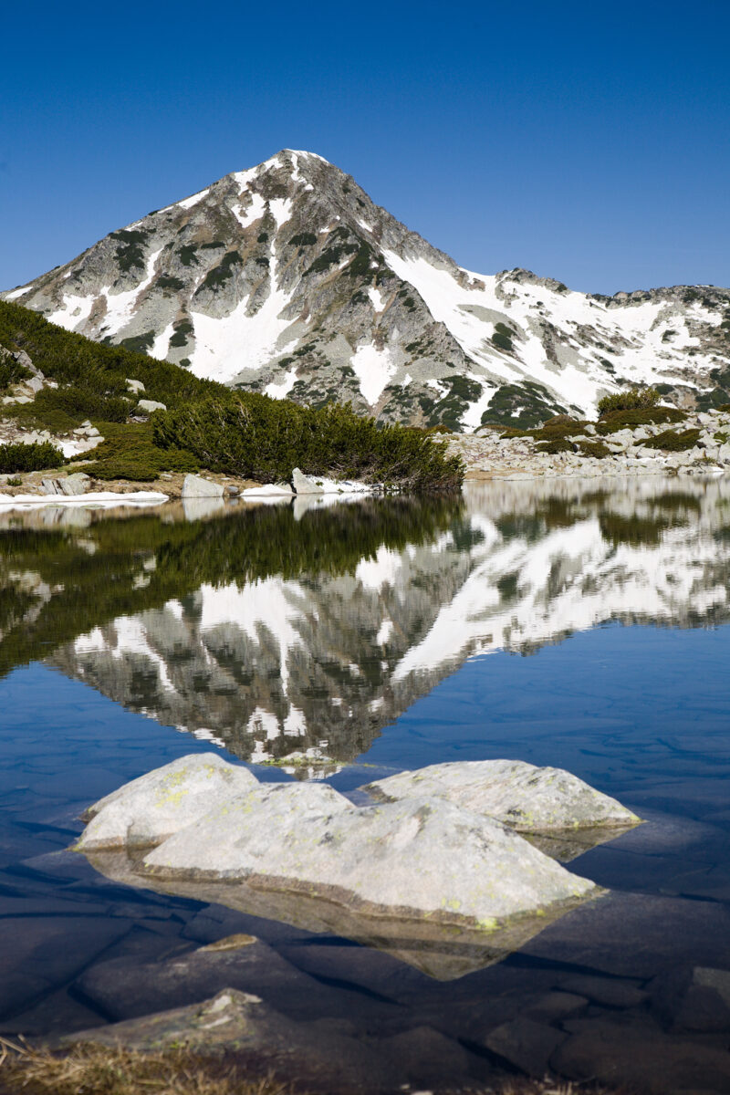
 Photo: Dido3 · CC BY-SA 4.0
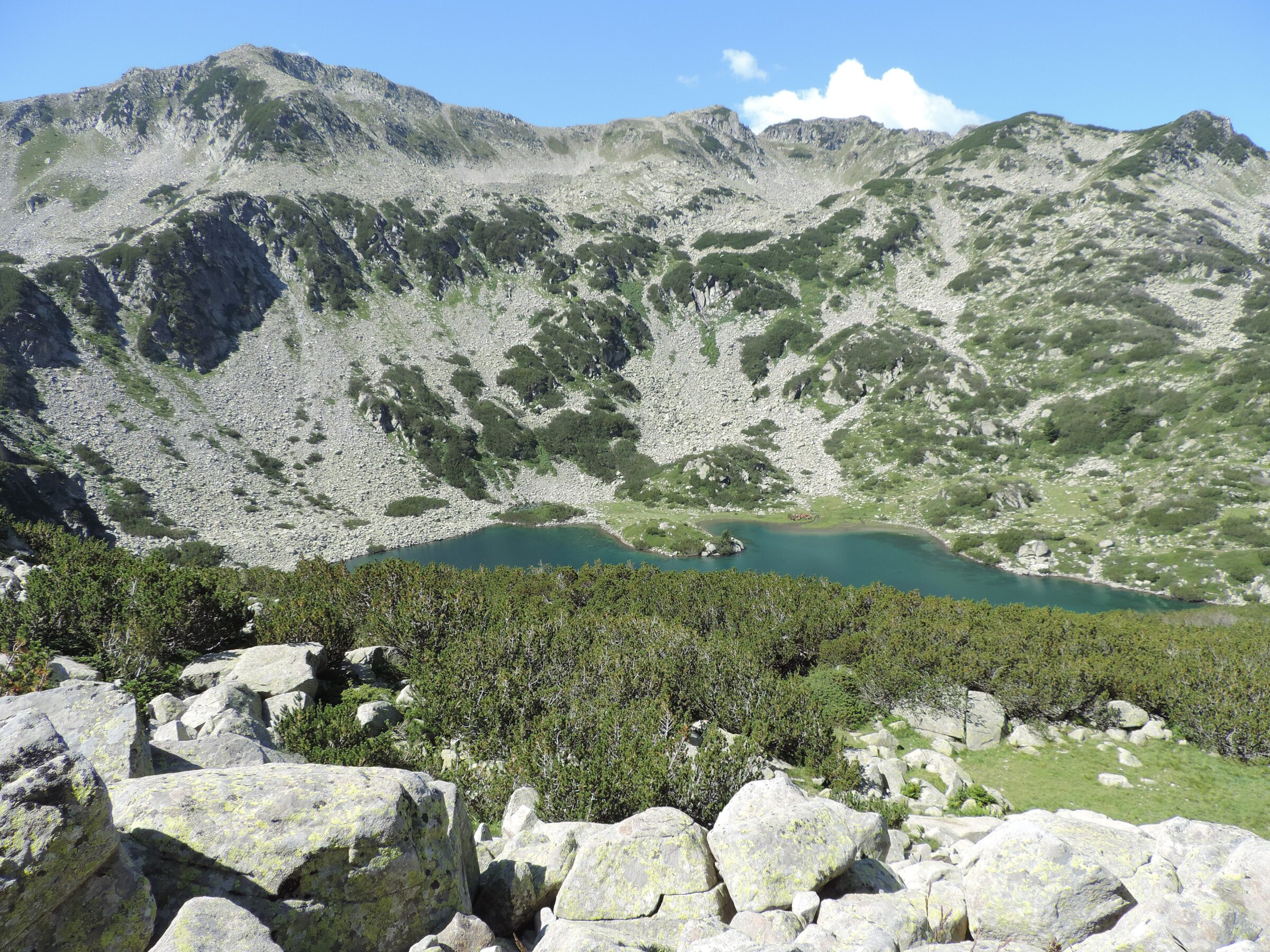
Photo: Спасимир · CC BY-SA 4.0
Back to results
Bulgaria · Pirin · Southwestern Bulgaria
Ribno Banderishko ezero
Рибно Бъндеришко езеро
One of the Banderitsa lakes of Pirin, a range in south-western Bulgaria that is dotted with more than a hundred glacial lakes. Most of the range is protected as Pirin National Park, a UNESCO World Heritage Site.
How it formed
At about 2,190 m, “Fish Banderitsa Lake” is the largest of a chain of 16 glacial lakes in the Banderitsa valley, with still, emerald water that mirrors the surrounding peaks. Frog Lake (about 2,320 m) and Long Lake lie higher up the same valley.
Visit
Swimming
No reliable information
Tips
The road from Bansko to Vihren Hut (1,950 m) runs about 16–17 km up the Banderitsa valley, past Baikushev’s Pine. On busy days it is closed to cars from about 8 or 8:30 a.m., and parking at the hut fills early, so start early or use the taxi or the bus, which has run from February to mid-September.
From the hut, follow the Banderitsa river for about 50 minutes of easy walking to the lake. Frog Lake is 20–25 minutes further on, and the whole trip is about 6.3 km and a little over 3 hours, on a signed trail suitable for families. A shorter loop of about 6 km returns by Okoto, and a longer one of about 11 km by Muratovo. In winter you need winter gear.
Nearby lakes
Show on mapPhoto: Dido3 · CC BY-SA 4.0
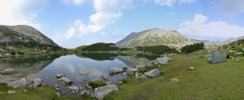 Photo: Pudelek (Marcin Szala) · CC BY-SA 3.0

Bulgaria · Pirin · Southwestern Bulgaria
Muratovo Lake
Glacial · natural
~1.1 kmaway
2,230 metreselevation
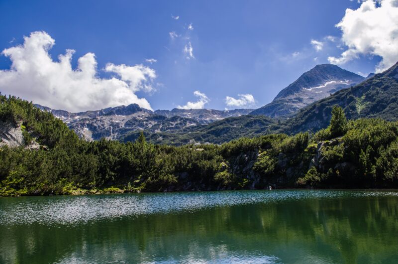 Photo: StefkaVasileva · CC BY-SA 4.0

Bulgaria · Pirin · Southwestern Bulgaria
Okoto (Pirin)
Glacial · natural
~1.4 kmaway
2,026 metreselevation
Know Ribno Banderishko ezero well?
Suggest a beach, viewpoint, trail or amenity, or tell us if something has changed. We read every message.
Sources & data
- Wikidata: ribno-banderishko-ezero (Q57884304), Wikimedia Foundation
- OpenStreetMap: Рибно Бъндеришко езеро (way 185406180), OpenStreetMap contributors
- Hiking the Banderishki Lakes (2025), Olympus Mountaineering
- Muratovo Lake – Ribno Banderishko Lake loop, Komoot
- Pirin National Park, World Heritage Site