
 Photo: Спасимир · CC BY-SA 4.0

Bulgaria · Pirin · Southwestern Bulgaria
Ribno Banderishko ezero
Glacial · natural
~0.6 kmaway
2,190 metreselevation
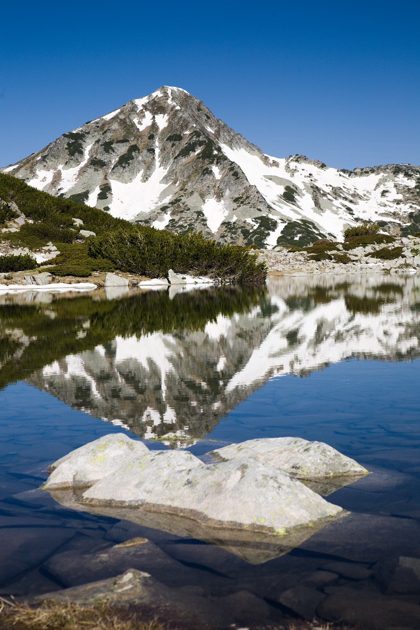
Photo: Dido3 · CC BY-SA 4.0
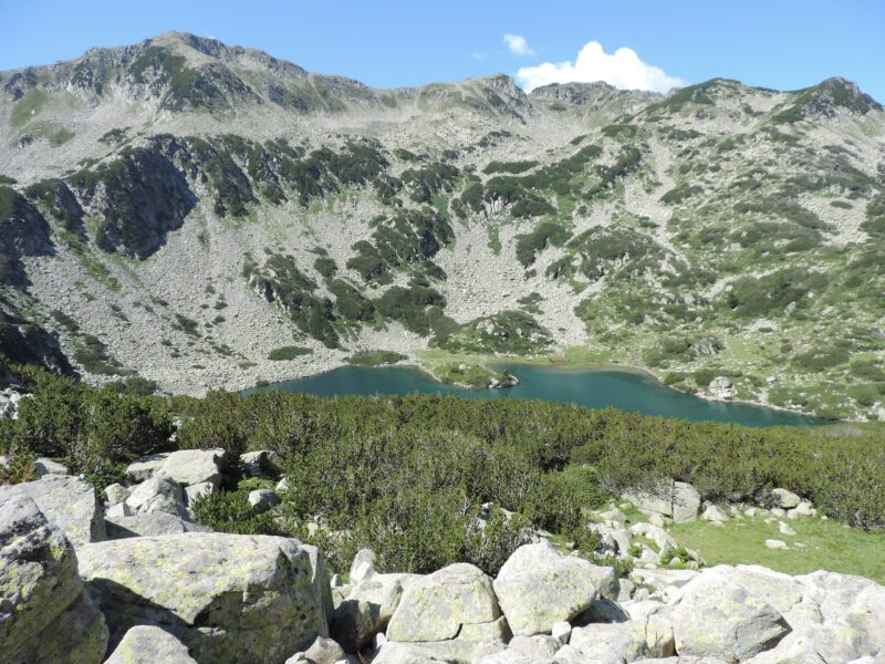
Zhabeshko, or Frog Lake, is the highest of the Banderitsa lakes of northern Pirin, at 2,322 m below the south slope of Mala Todorka. It is elongated, about 138 by 63 m and up to 2 m deep. Its shores have one of the best-loved views in the mountains, towards Muratov peak.
With no visible outflow the water stays warm, and it is full of tadpoles, which give the lake its name.
No reliable information
The road from Bansko to Vihren Hut (1,950 m) runs about 16–17 km up the Banderitsa valley. On busy days it is closed to cars from about 8 or 8:30 a.m., so start early.
From the hut, follow the Banderitsa river for about 50 minutes to Ribno Banderishko, then walk another 20–25 minutes up to Zhabeshko. The round trip is about 6.3 km and a little over 3 hours, on a signed trail. The paths split at the lake: one heads east to Demyanitsa Hut, the other south towards Tevno Lake.
Photo: Спасимир · CC BY-SA 4.0Bulgaria · Pirin · Southwestern Bulgaria
Glacial · natural
 Photo: Pudelek (Marcin Szala) · CC BY-SA 3.0
Bulgaria · Pirin · Southwestern Bulgaria
Glacial · natural
 Photo: StefkaVasileva · CC BY-SA 4.0
Bulgaria · Pirin · Southwestern Bulgaria
Glacial · natural
Suggest a beach, viewpoint, trail or amenity, or tell us if something has changed. We read every message.
Thank you. We read every suggestion.

