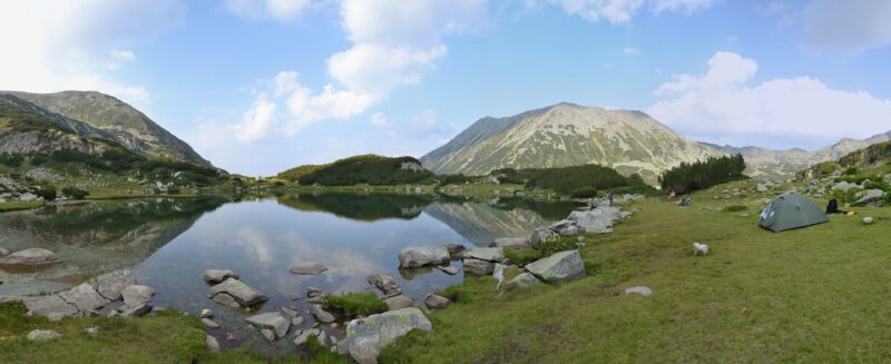
 Photo: Pudelek (Marcin Szala) · CC BY-SA 3.0

Bulgaria · Pirin · Southwestern Bulgaria
Muratovo Lake
Glacial · natural
0.01 square kilometresarea
2,230 metreselevation
3.2 metresmax. depth
The glacial lakes of Pirin, a named set: Popovo, the largest in the range, Okoto at Banderitsa, the Banderitsa lakes, Tevno, Muratovo below Vihren and the Vlahini lakes.
Map unavailable. The list keeps working.
Pinch to zoom. Pan with two fingers.
Ctrl+scroll to zoom (Cmd+scroll on Mac)
Photo: Pudelek (Marcin Szala) · CC BY-SA 3.0Bulgaria · Pirin · Southwestern Bulgaria
Glacial · natural
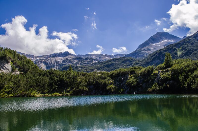 Photo: StefkaVasileva · CC BY-SA 4.0
Bulgaria · Pirin · Southwestern Bulgaria
Glacial · natural
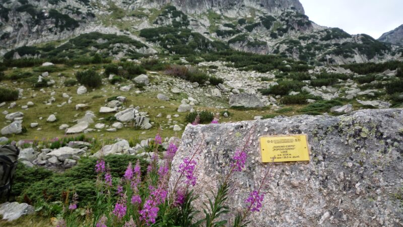 Photo: Красимир Косев · CC BY 3.0
Bulgaria · Pirin · Southwestern Bulgaria
Glacial · natural
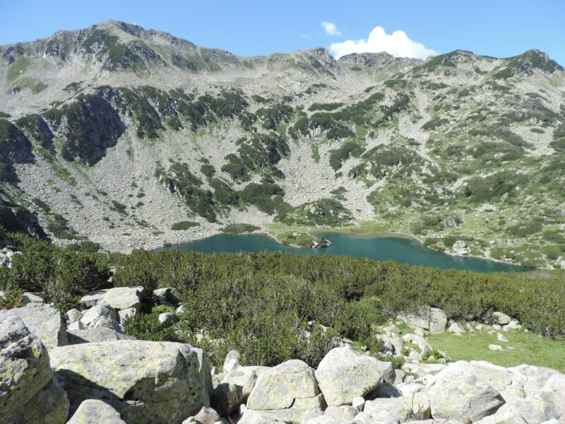 Photo: Спасимир · CC BY-SA 4.0
Bulgaria · Pirin · Southwestern Bulgaria
Glacial · natural
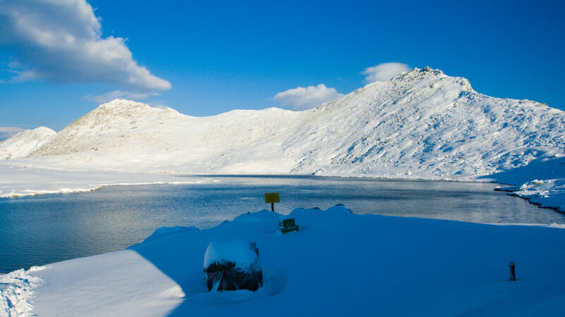 Photo: Dido3 · CC BY-SA 4.0
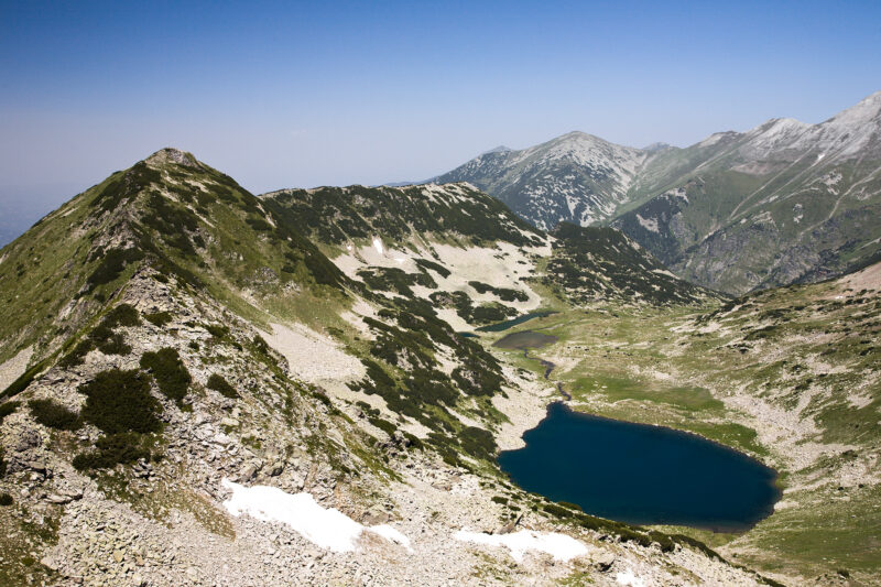 Photo: Deyan Vasilev ( Dido3 ) · CC BY-SA 3.0
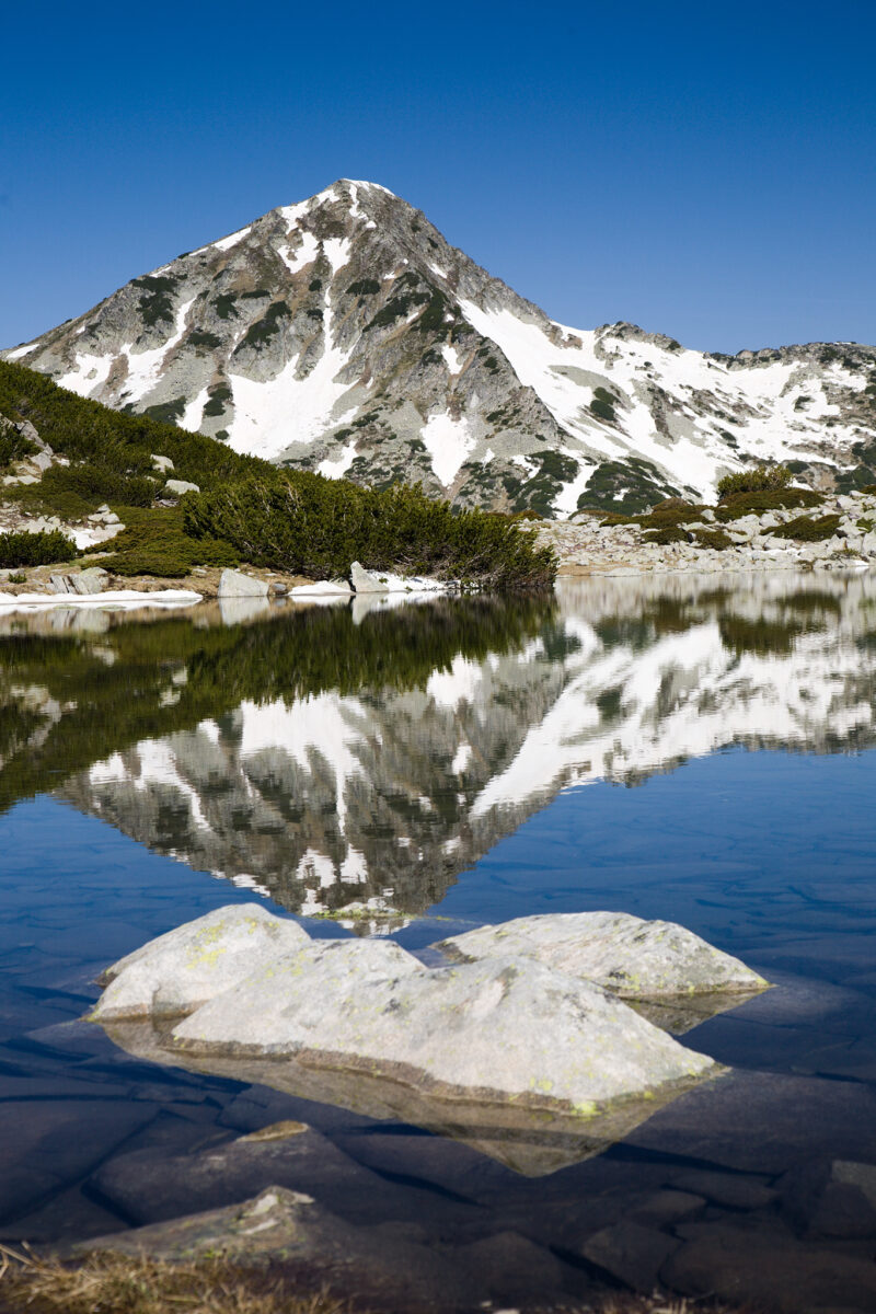 Photo: Dido3 · CC BY-SA 4.0
Suggest a beach, viewpoint, trail or amenity, or tell us if something has changed. We read every message.
Thank you. We read every suggestion.


