
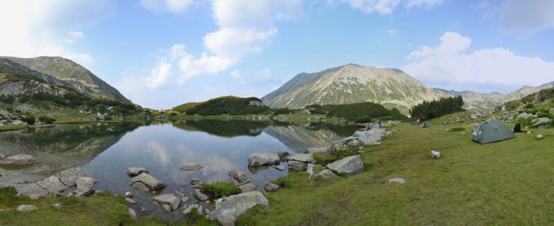
 Photo: Pudelek (Marcin Szala) · CC BY-SA 3.0

Bulgaria · Pirin · Southwestern Bulgaria
Muratovo Lake
Glacial · natural
~2.1 kmaway
2,230 metreselevation
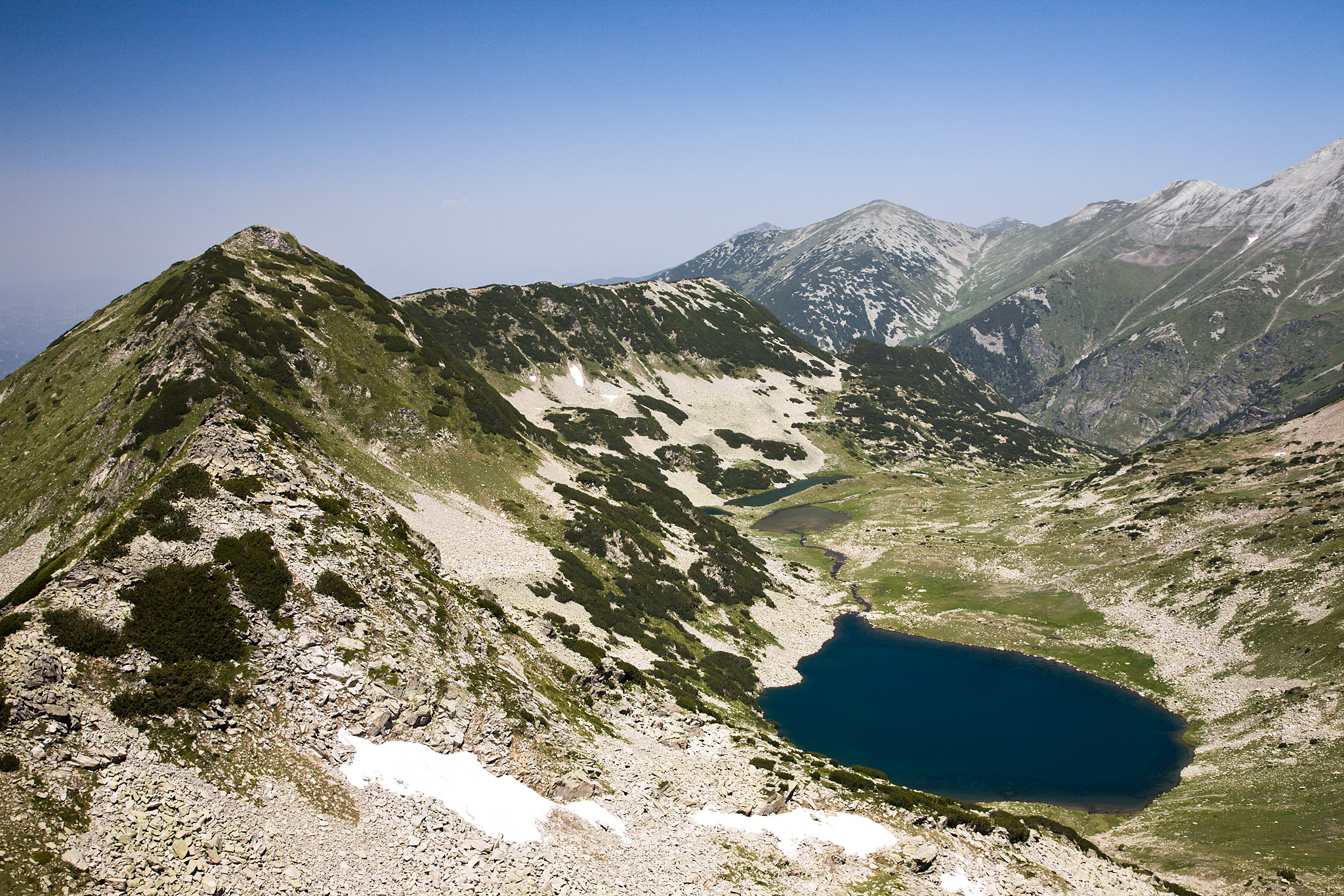
Photo: Deyan Vasilev ( Dido3 ) · CC BY-SA 3.0
The Vlahini lakes are a group of six lakes in a cirque in northern Pirin, about 1.5 km south-west of Vihren, with Hvoynati to the east, Muratov to the south and the Gredaro ridge to the west. Five are permanent and one comes and goes. They take their name from the village of Vlahi, far below on the same river, and are also known as the Vihren or Eltepe lakes.
They lie between about 2,290 m and 2,340 m, with the temporary lake higher still. The largest, Big Vlahino Lake at 2,302 m, measures about 400 by 245 m and reaches 13.4 m in depth, one of the largest and deepest lakes in Pirin. Another, about 145 by 100 m, is under a metre deep. Their water flows out as the Vlahina river, a tributary of the Struma.
Balkan trout live in the lakes. The highest permanent lake lies among dwarf mountain pine.
No reliable information
The lakes are a little off the hiking trails and see few visitors. The easiest way in is over the Banderishka Gate and along the Vlahini ridge, and they can be seen well from the Kabata saddle and the peaks around. This is high mountain ground away from the marked paths, so check conditions first.
Photo: Pudelek (Marcin Szala) · CC BY-SA 3.0Bulgaria · Pirin · Southwestern Bulgaria
Glacial · natural
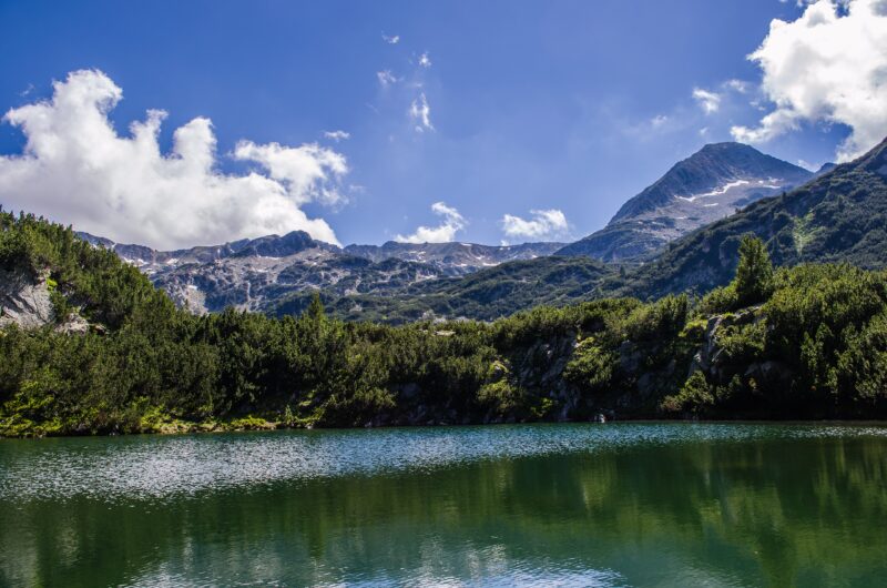 Photo: StefkaVasileva · CC BY-SA 4.0
Bulgaria · Pirin · Southwestern Bulgaria
Glacial · natural
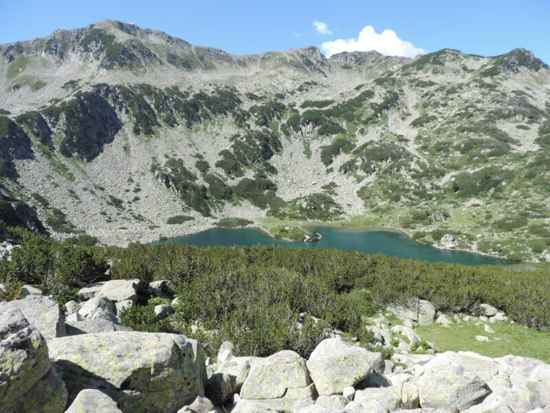 Photo: Спасимир · CC BY-SA 4.0
Bulgaria · Pirin · Southwestern Bulgaria
Glacial · natural
Suggest a beach, viewpoint, trail or amenity, or tell us if something has changed. We read every message.
Thank you. We read every suggestion.

