
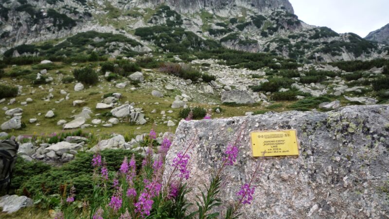
 Photo: Красимир Косев · CC BY 3.0

Bulgaria · Pirin · Southwestern Bulgaria
Popovo Lake
Glacial · natural
~2.5 kmaway
2,233.5 metreselevation
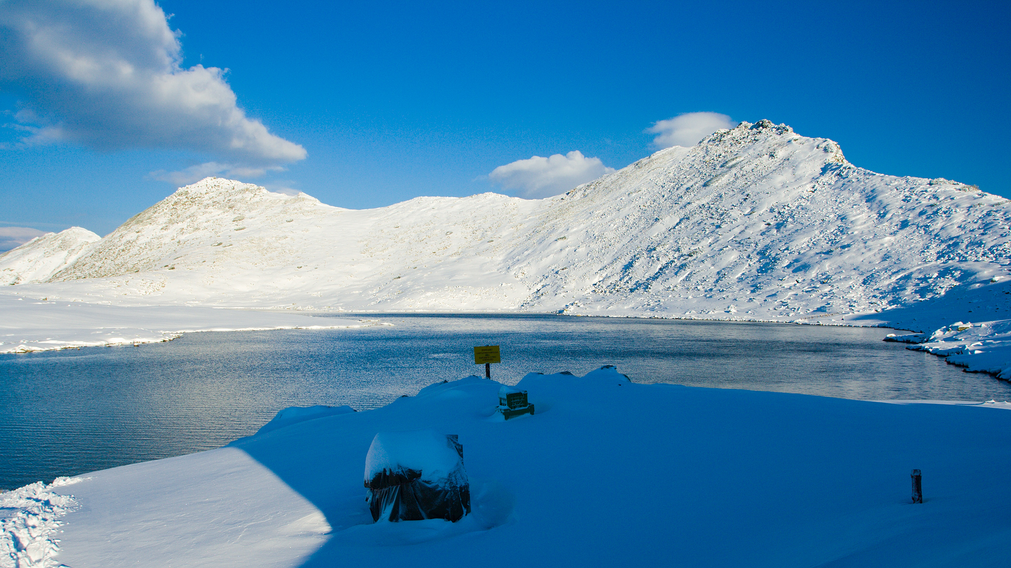
Photo: Dido3 · CC BY-SA 4.0
Tevno Lake lies at about 2,515 m on a terraced plateau of northern Pirin, at the foot of Momin Dvor and Valyavishki Chukar. Its name comes from a local word for “dark”. It is the largest and highest of the Malokamenishki lakes in the Belemeto cirque, which holds over 30 small lakes, and it is the source of the Mozgovitsa river.
It is an alpine glacial lake of irregular, elongated shape, about 4 m deep.
No reliable information
The Tevno Ezero hut stands beside the lake on the E4 long-distance path, with about 30 beds, a dining room, food and drink in summer, a generator, spring water and outside toilets. It is staffed roughly from July to September. Marked trails lead here from Begovitsa (Kamenitsa) hut in 3 hours, Pirin hut in 3.5, Demyanitsa in 3, Bezbog in 4 and Vihren hut in 6. Momin Dvor is about 30 minutes away, Kralev Dvor 45 minutes and Kamenitsa peak about 2.5 hours.
This is demanding high-mountain ground, with exposed, rocky stretches and loose scree, so bring boots, warm and waterproof layers and at least 2 litres of water. Snowfields can linger on the upper trail into early July, and temperatures can fall below freezing at night even in summer. In winter the route has only partial marking and the passes need winter equipment.
Photo: Красимир Косев · CC BY 3.0Bulgaria · Pirin · Southwestern Bulgaria
Glacial · natural
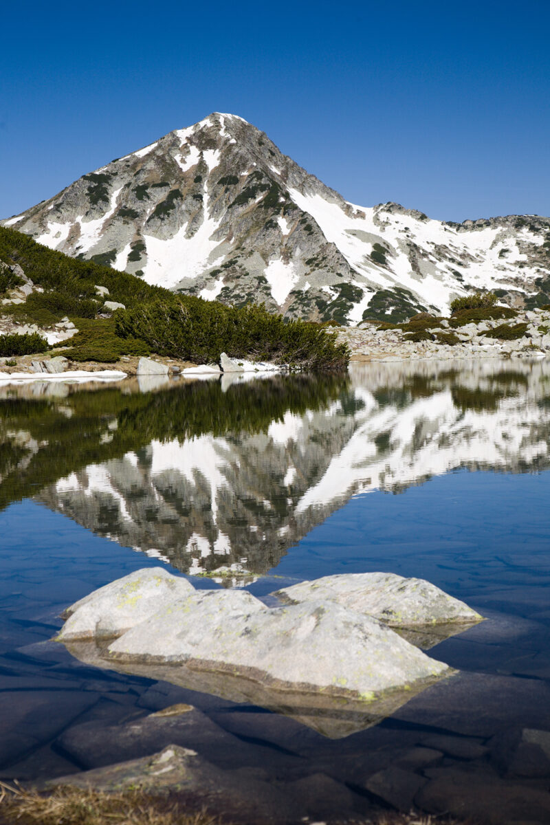 Photo: Dido3 · CC BY-SA 4.0
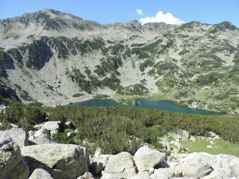 Photo: Спасимир · CC BY-SA 4.0
Bulgaria · Pirin · Southwestern Bulgaria
Glacial · natural
Suggest a beach, viewpoint, trail or amenity, or tell us if something has changed. We read every message.
Thank you. We read every suggestion.

