Skip to content
Map

Region

Pelagonia

The Pelagonia Statistical Region lies in the south-west of North Macedonia along the plain of the same name, bordering Greece and Albania.

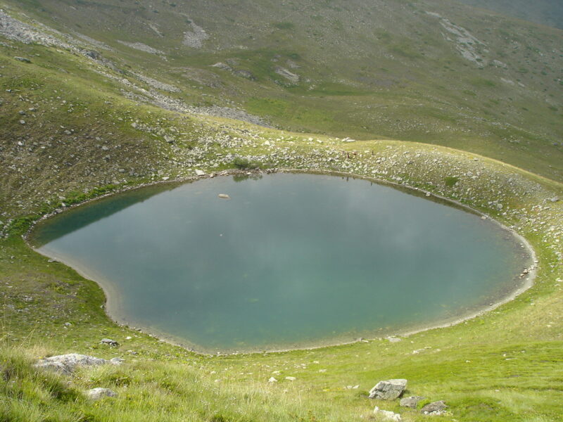
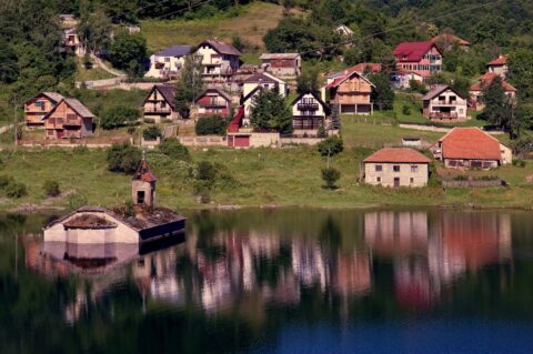
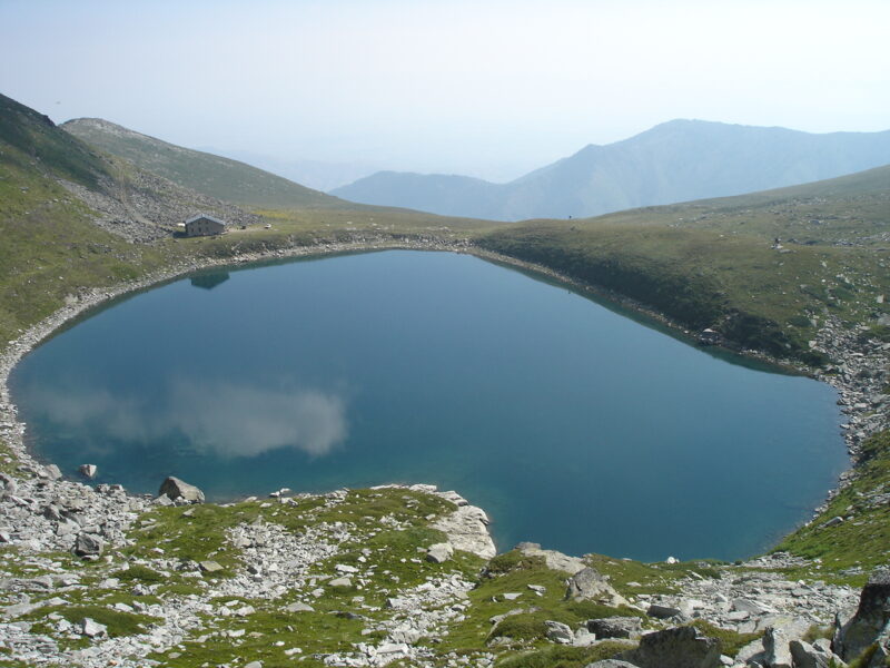
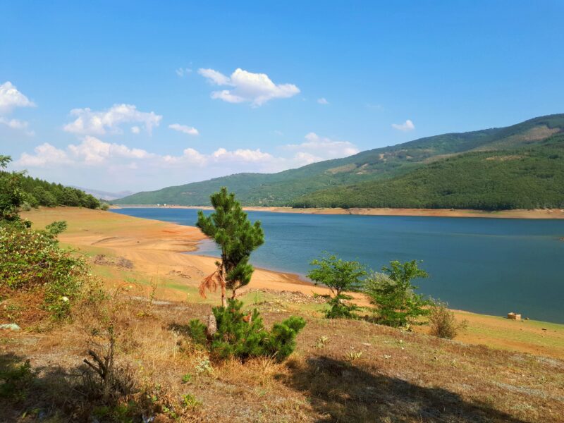
Lake Prespa is the main lake, and Pelister National Park holds Golemo Ezero and Malo Ezero, the two glacial lakes called Pelister's Eyes. Streževo is Bitola's water-supply reservoir.

Skip map

Pinch to zoom. Pan with two fingers.

Ctrl+scroll to zoom (Cmd+scroll on Mac)

  • Natural lake
  • Natural, regulated
  • Artificial lake (reservoir)

Highlights

Where to start

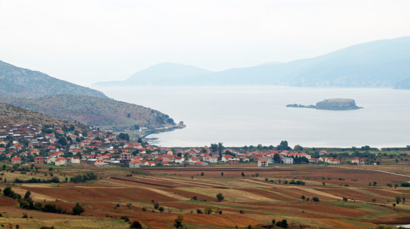
Photo: Albinfo · CC BY-SA 3.0

Albania (Southeastern Albania) · Greece (Western Macedonia) · North Macedonia (Pelagonia)

Lake Prespa

Lake Prespa is not one lake but two, Great Prespa and Little Prespa, set high in the mountains at the point where North Macedonia, Albania and Greece meet. They are the highest tectonic lakes in the Balkans. The area holds…

254 square kilometresarea
849 metreselevation
48 metresmax. depth
BoatingFishing

All lakes in Pelagonia

4 lakes

Activity
Activity

Lakes with all selected activities

Lake type
Lake type
More filters
Origin
Size
Access
Swimming
Protected area
Photo: Albinfo · CC BY-SA 3.0

Albania (Southeastern Albania) · Greece (Western Macedonia) · North Macedonia (Pelagonia)

Lake Prespa

Tectonic · natural

254 square kilometresarea
849 metreselevation
48 metresmax. depth
BoatingFishing

Activities in Pelagonia

Plan by activity

Guides about Pelagonia